

Home › Canada › Alberta › Municipal District of Ranchland No. 66 › 🏷️ Camping sauvage
Balcony on the river -- Municipal District of Ranchland, Alberta
✍️ Suggested by Contributeur 123Go
Amenities
Location Map
Description
The main forest road 940 is beautiful to travel and a true paradise for boondocking. Unfortunately, the best spots (many along the road) are often occupied (July, weekend) by local residents. This spot was free — open, sunny, overlooking with a nice view of the river. Fire pits nearby.
🕐 Latest comments
Photo Gallery
🔒 Become a Contributor to see all photos and enjoy the site ad-free.
Become a Contributor
📍 Nearby Places
- Livingstone Falls Campground 🏷️ Camping établi — Nanton, Alberta (1.9 km)
- Route nationale forestière 🏷️ Gratuit — Municipal District of Ranchland No. 66, Alberta (9.1 km)
- Le carrefour entre la rivière et le ruisseau 🏷️ Gratuit — Municipal District of Ranchland No. 66, Alberta (10.0 km)
- Indian Graves Provincial Recreation Area Campground 🏷️ Camping établi — Municipal District of Ranchland No. 66, Alberta (17.8 km)
📖 Also Worth Reading
Recreational Vehicle Battery Life Calculator
Estimate the autonomy of your RV battery bank based on your consumption.
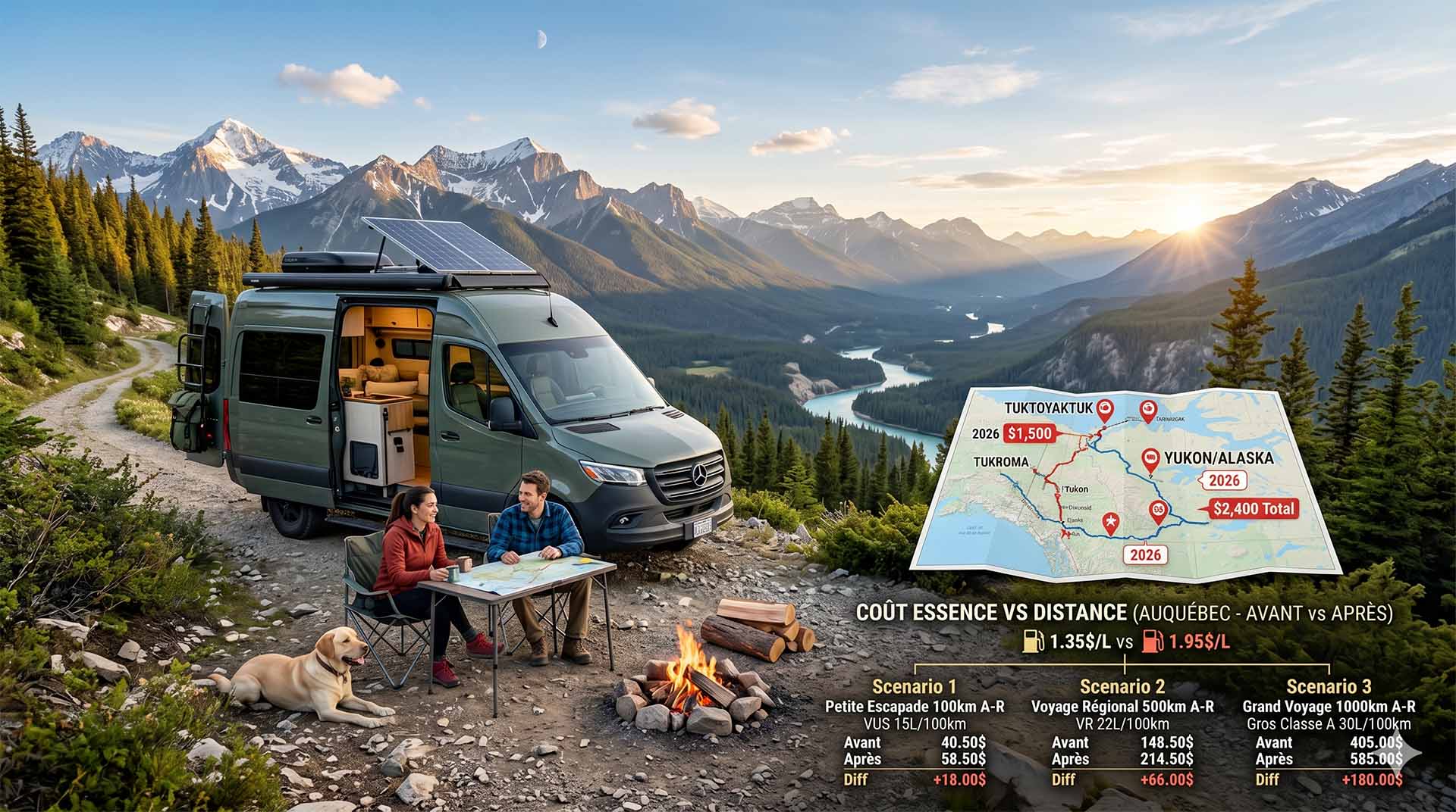
Price Increase: The Mathematical Strategy for Choosing Your Campsite Without Breaking the Bank
Cinq stratégies chiffrées pour choisir son camping intelligemment face à la hausse de l'essence : point de bascule essence/terrain, tactique du semi-servi, zones municipales gratuites et plus.
Electricity Consumption Calculator (Ah / Wh)
Calculate the electrical consumption of your devices in amp-hours and watt-hours.
Unit converter (length, weight, volume)
Quickly convert length, weight, and volume between imperial and metric.