

Home › Canada › Colombie-Britannique › A › 🏷️ Gratuit
By the river -- Area A (Upper Bridge River Valley), British Columbia
✍️ Suggested by Contributeur 123Go
Location Map
Description
Parking near the bridge, by the river. The place is quiet and conducive to relaxation. Please respect the area, leave no trace behind, and be discreet.
🕐 Latest comments
🔒 Contributors can edit place listings (fix a detail, add a photo...). Subscribe to unlock "I've stopped here."
Photo Gallery
🔒 Become a Contributor to see all photos and enjoy the site ad-free.
Become a Contributor
📍 Nearby Places
- La route de la rivière Lillooet, Pemberton Meadows 🏷️ Gratuit — Area C (Pemberton Valley/Mount Currie/D'Arcy), Colombie-Britannique (18.1 km)
- Le pont Goldbridge 🏷️ Gratuit — Squamish-Lillooet A, Colombie-Britannique (20.7 km)
- Vue sur la rivière ombragée de cèdres 🏷️ Gratuit — Area C (Pemberton Valley/Mount Currie/D'Arcy), Colombie-Britannique (22.0 km)
- Gun Creek CG 🏷️ Gratuit — Area A (Upper Bridge River Valley), Colombie-Britannique (28.1 km)
📖 Also Worth Reading
Blog Article
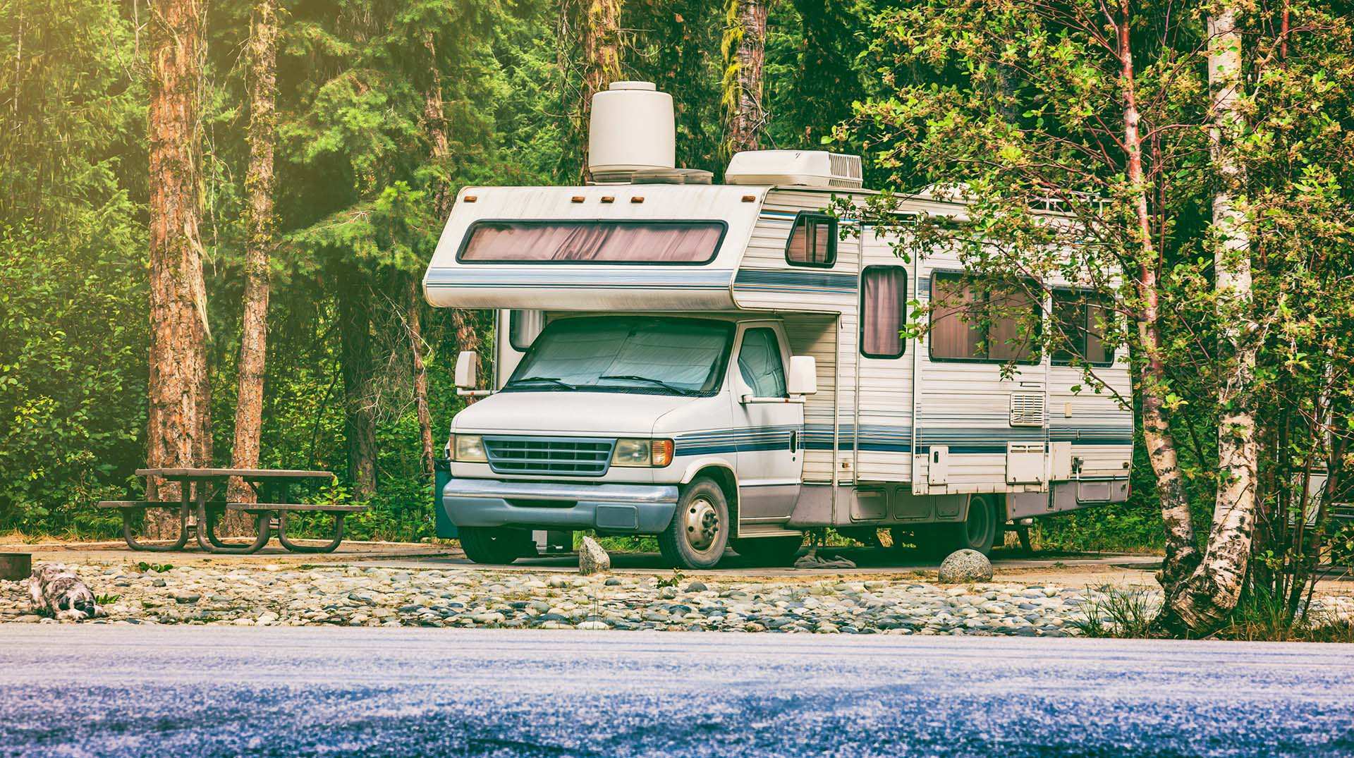
Loading weight calculator (payload)
Calculate the available payload for your RV without exceeding its maximum weight.
Blog Article
PSI ↔ kPa ↔ bar converter for tires
Convert your tire pressure between PSI, kPa, and bar in one click.
Blog Article
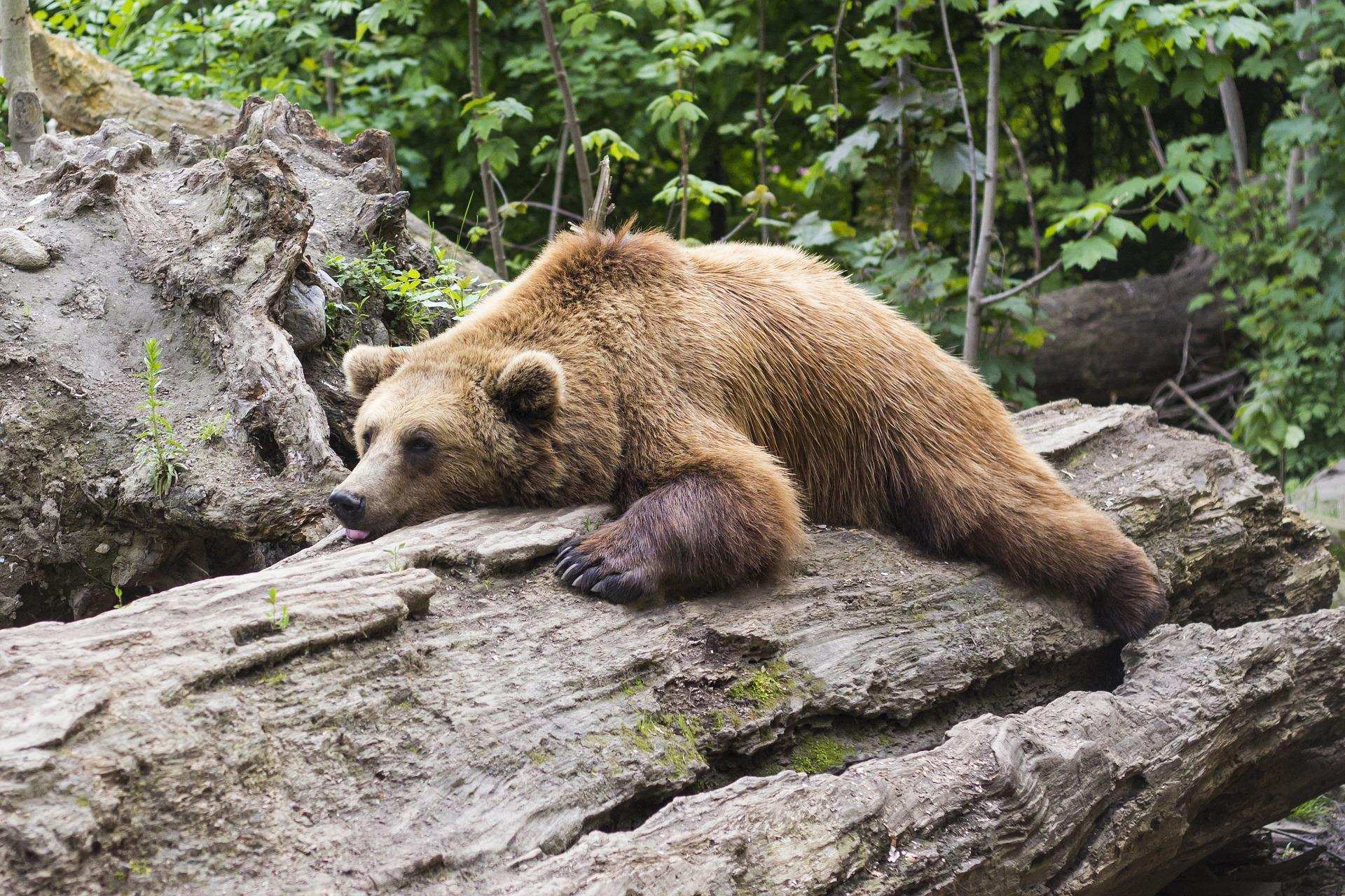
Learn how to properly use bear repellents.
How to choose and use bear spray correctly when camping in the backcountry.
Blog Article
Unit converter (length, weight, volume)
Quickly convert length, weight, and volume between imperial and metric.
⚠️ This listing is provided for informational purposes only. Before staying overnight, make sure you have the right to be there, always leave no trace (pick up your trash), respect wildlife, and follow local laws and regulations. If you believe this listing contains an error or would like to request its removal.
Is this place closed?
🚫 Report as closed
An error on this listing?
📝 Report a problem