

Home › Canada › Colombie-Britannique › Area B (Finlay Valley/Beatton Valley) › 🏷️ Gratuit
Pink Mountain Road - 3.6 miles from the summit (according to Google) -- Area B (Finlay Valley/Beatton Valley), British Columbia
✍️ Suggested by Contributeur 123Go
Location Map
Description
Isolated stop in the mountains, accessible by a road with puddles. The view is impressive. It's a good place to spend the night. Respect the area and nature by leaving nothing behind.
🕐 Latest comments
Photo Gallery
🔒 Become a Contributor to see all photos and enjoy the site ad-free.
Become a Contributor
📍 Nearby Places
- La route de la tour Pink Mountain 🏷️ Gratuit — Area B (Finlay Valley/Beatton Valley), Colombie-Britannique (3.6 km)
- Le terrain en gravier au km 230 🏷️ Gratuit — Pink Mountain, Colombie-Britannique (18.7 km)
- Pink Mountain Campsite & RV Park 🏷️ Camping établi — Area B (Finlay Valley/Beatton Valley), Colombie-Britannique (20.9 km)
- La vieille autoroute de l'Alaska 🏷️ Gratuit — Area B (Finlay Valley/Beatton Valley), Colombie-Britannique (22.5 km)
📖 Also Worth Reading

Brake Distance Checker According to Weight
Calculate your vehicle's braking distance based on weight and speed.
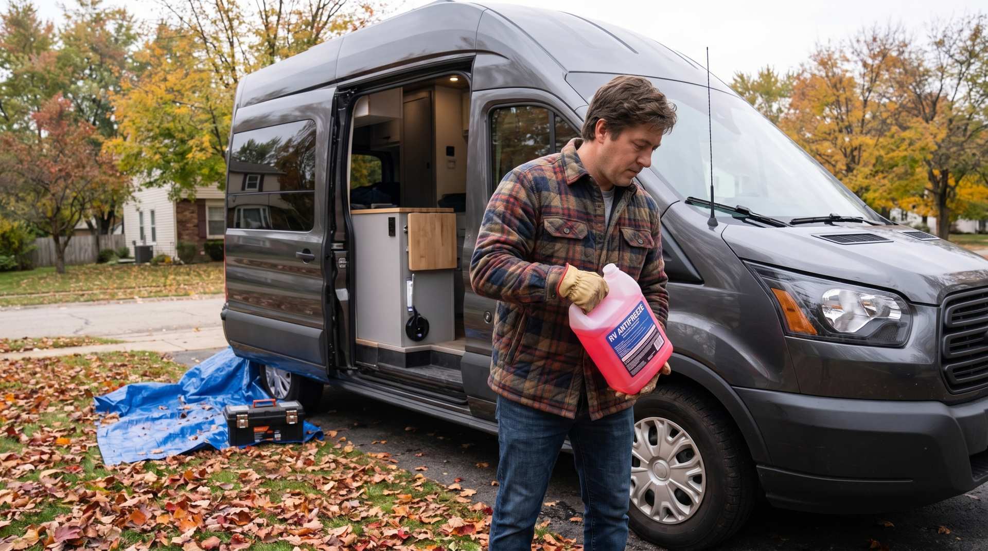
How to prepare your converted van for winter
There are no second chances when it comes to winter storage. A single night at −8 °C with a liter of water forgotten in a pipe elbow, and you’ll discover the damage in the spring — as soon as the pump turns on and sprays the inside of your RV.

Tank capacity calculator for your RV
Learn how to assess the capacity of your water tanks for a successful RV trip.

Convert a distance between kilometers and miles
Convert a distance between kilometers and miles with one click.