

Home › Canada › Colombie-Britannique › Powell River › 🏷️ Gratuit
Lake Louise -- Area C (Lois Lake/Saltery Bay), British Columbia
✍️ Suggested by Contributeur 123Go
Location Map
Description
Small stop with a fire pit and lake access. Sufficient for a large vehicle or several small ones. Gravel road is difficult.
🕐 Latest comments
Photo Gallery
🔒 Become a Contributor to see all photos and enjoy the site ad-free.
Become a Contributor
📍 Nearby Places
- Le lac Lois, au bord de l'eau 🏷️ Gratuit — Lang Bay, Colombie-Britannique (0.2 km)
- En bord de lac 🏷️ Gratuit — Lang Bay, Colombie-Britannique (1.1 km)
- Le lac Lois, site récréatif 🏷️ Gratuit — Lang Bay, Colombie-Britannique (2.2 km)
- Creekside Crossing Campground 🏷️ Camping établi — Area C (Lois Lake/Saltery Bay), Colombie-Britannique (5.9 km)
📖 Also Worth Reading
Unit converter (length, weight, volume)
Quickly convert length, weight, and volume between imperial and metric.
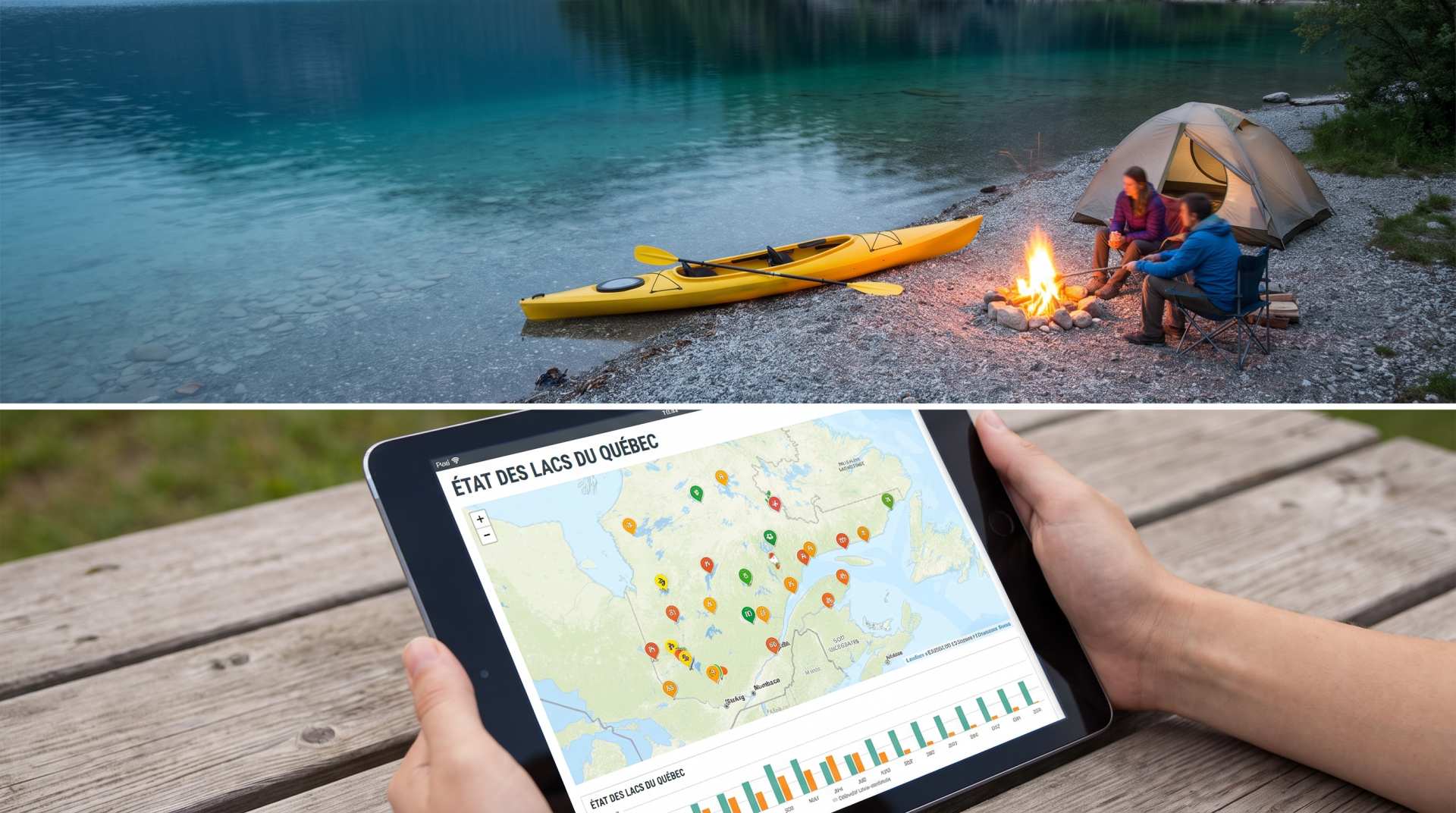
The state of Quebec's lakes: what the latest data says
Your swims and kayaking outings between two nights of camping deserve a healthy lake. Here’s what the latest data from the Government of Quebec reveals about the state of our lakes — and how to choose your next stop by the water.
PSI ↔ kPa ↔ bar converter for tires
Convert your tire pressure between PSI, kPa, and bar in one click.
Gas cost calculator for a trip
Estimate the total fuel cost for your next trip based on distance and price.