

Home › Canada › Colombie-Britannique › Tête Jaune Cache › 🏷️ Gratuit
The intersection of highways 16 and 5 -- Area H (Robson Valley/Canoe), British Columbia
✍️ Suggested by Contributeur 123Go
Location Map
Description
Large private spot in the forest, near highways 16 and 5. Quiet at night, but a bit noisy during the day.
🕐 Latest comments
Photo Gallery
🔒 Become a Contributor to see all photos and enjoy the site ad-free.
Become a Contributor
📍 Nearby Places
- Les campings forestiers de Tete Jaune 🏷️ Camping établi — Tête Jaune Cache, Colombie-Britannique (0.6 km)
- Le point d'arrêt sur l'autoroute 16 en direction du parc national Jasper 🏷️ Gratuit — Tête Jaune Cache, Colombie-Britannique (2.2 km)
- Le site de frai récréatif Tete Jaune 🏷️ Gratuit — Tête Jaune Cache, Colombie-Britannique (2.2 km)
- Le chemin forestier à côté de l'autoroute Yellowhead 🏷️ Gratuit — Fraser Fort George H, Colombie-Britannique (5.4 km)
📖 Also Worth Reading
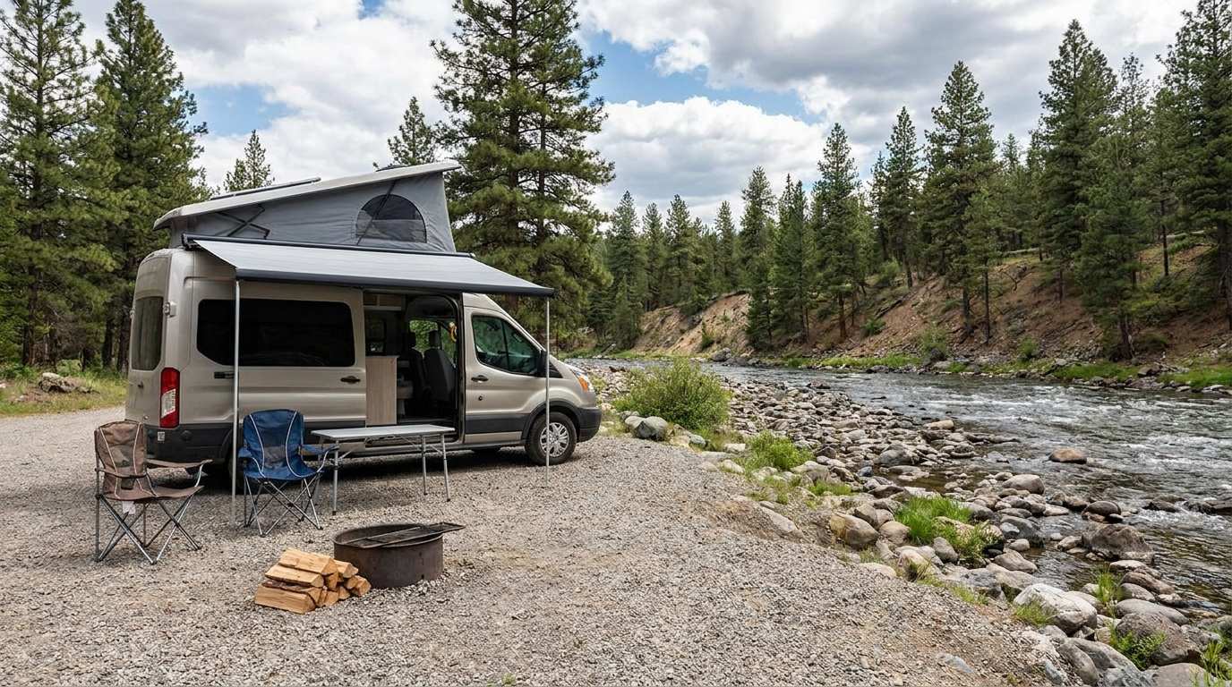
Discover free camping spots for recreational vehicles in Quebec, Canada, and the United States.
Discover the best free camping spots in Quebec, Canada, and the United States with our interactive map. Share and add your own boondocking locations!

The state of Quebec's lakes: what the latest data says
Your swims and kayaking outings between two nights of camping deserve a healthy lake. Here’s what the latest data from the Government of Quebec reveals about the state of our lakes — and how to choose your next stop by the water.
Gas Price Converter Canada USA
Compare gas prices between Canada and the U.S., liters and gallons included.

Brake Distance Checker According to Weight
Calculate your vehicle's braking distance based on weight and speed.