

Home › Canada › Québec › Gaspésie–Îles-de-la-Madeleine › Cap-Chat › 🏷️ Aires De Repos
Cap-Chat Stopover
A parking bylaw exists (289-2019), but its detailed content couldn't be confirmed (broken PDF link). No clear rule on wild camping or RVs found.
✍️ Suggested by 123Go.Quebec
Location Map
Description
Official rest area of the Ministry of Transport and Sustainable Mobility of Quebec, on Rue Notre-Dame Est, in Cap-Chat. On Rue Notre-Dame Est, 200 m east of the Cap-Chat River bridge. Facilities: restrooms, picnic tables, universal access, drinking water, on-site dining. Accessible to heavy vehicles. Seasonal stop (closed in winter).
🕐 Latest comments
Photo Gallery
🔒 Become a Contributor to see all photos and enjoy the site ad-free.
Become a Contributor
📍 Nearby Places
- Camping au Bord de la Mer 🏷️ Camping établi — Cap-Chat, Québec (2.5 km)
- Vidange sanitaire de Cap-Chat 🏷️ Station de vidange sanitaire — Cap-Chat, Québec (2.8 km)
- Camping du Phare Cap-Chat 🏷️ Camping établi — Cap-Chat, Québec (4.9 km)
- Camping O'P'tit des Monts – Sainte-Anne-des-Monts, Gaspésie 🏷️ Camping établi — Sainte-Anne-des-Monts, Québec (8.8 km)
📖 Also Worth Reading
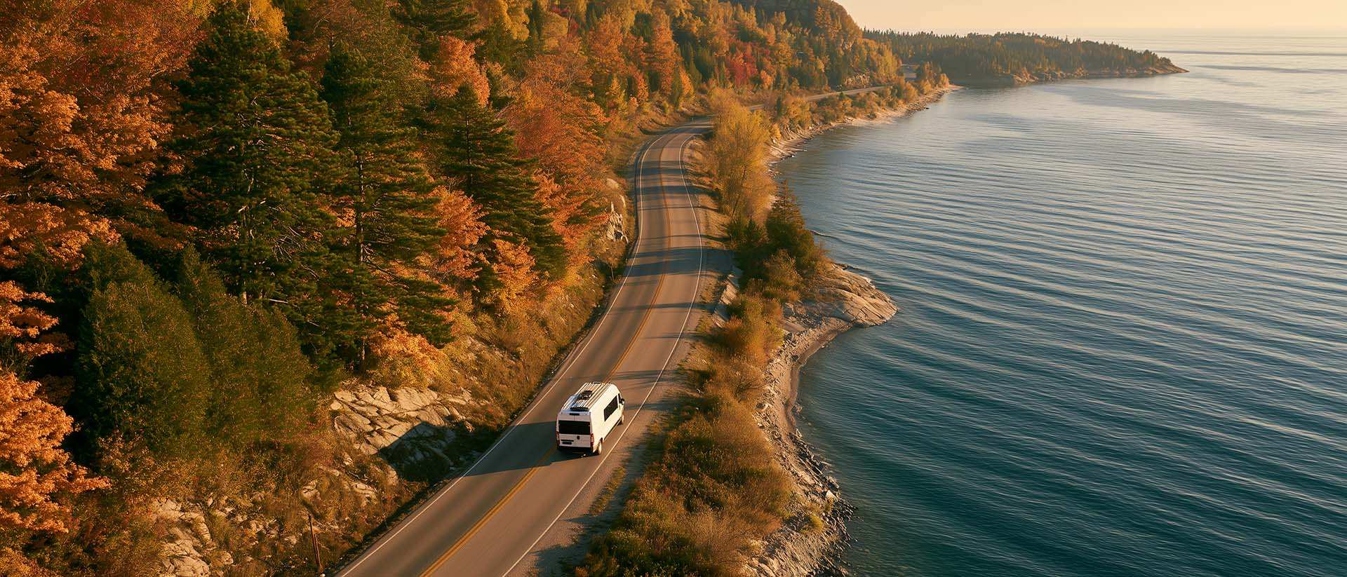
What to Do in Québec in October
October 2026 in Québec by RV: fall colours at their peak, Thanksgiving, off-season rates, and the last festivals before campgrounds close for the season.

Calculateur d'autonomie selon la vitesse et le réservoir et la consommation
Estimate how far you can travel based on tank size and fuel consumption.

Gas cost calculator for a trip
Estimate the total fuel cost for your next trip based on distance and price.

Tank capacity calculator for your RV
Learn how to assess the capacity of your water tanks for a successful RV trip.