

Home › Canada › Québec › Gaspésie–Îles-de-la-Madeleine › Gaspé › 🏷️ Parc d'État
Forillon National Park
Overnight winter parking is banned for snow removal. Camping in public places (lots, beaches) was reportedly also banned in 2020, per news reports -- the exact bylaw wasn't confirmed.
✍️ Suggested by 123Go.Quebec
Location Map
Description
Famous for its high limestone cliffs that plunge directly into the St. Lawrence River, at the tip of Gaspésie, Forillon is a prime spot for whale and seal watching. The park combines beaches, coastal trails, and forests, with several campgrounds set up by the sea. It is directly accessible via Route 132.
🕐 Latest comments
Photo Gallery
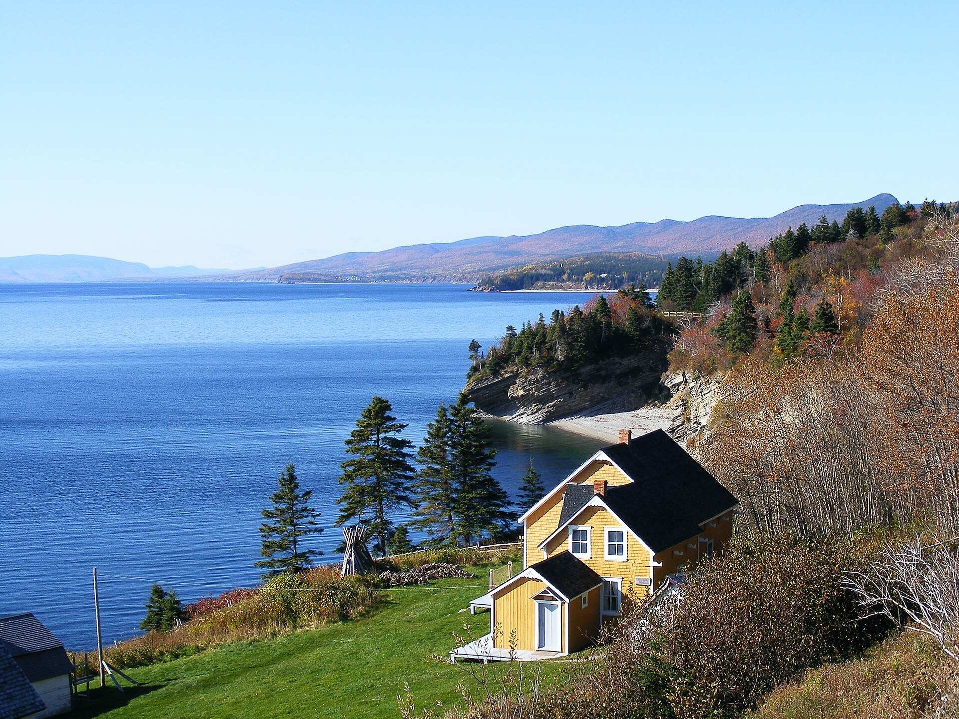
🔒 Become a Contributor to see all photos and enjoy the site ad-free.
Become a Contributor
📍 Nearby Places
- Des-Rosiers Campground, Forillon National Park 🏷️ Camping établi — Cap-Bon-Ami, Québec (1.4 km)
- Camping Cap-Bon-Ami (Forillon) 🏷️ Camping établi — Cap-Bon-Ami, Québec (2.6 km)
- Halte de Cap-des-Rosiers 🏷️ Aires De Repos — Gaspé, Québec (3.0 km)
- Buanderie 🏷️ Buanderie — Gaspé, Québec (4.4 km)
📖 Also Worth Reading
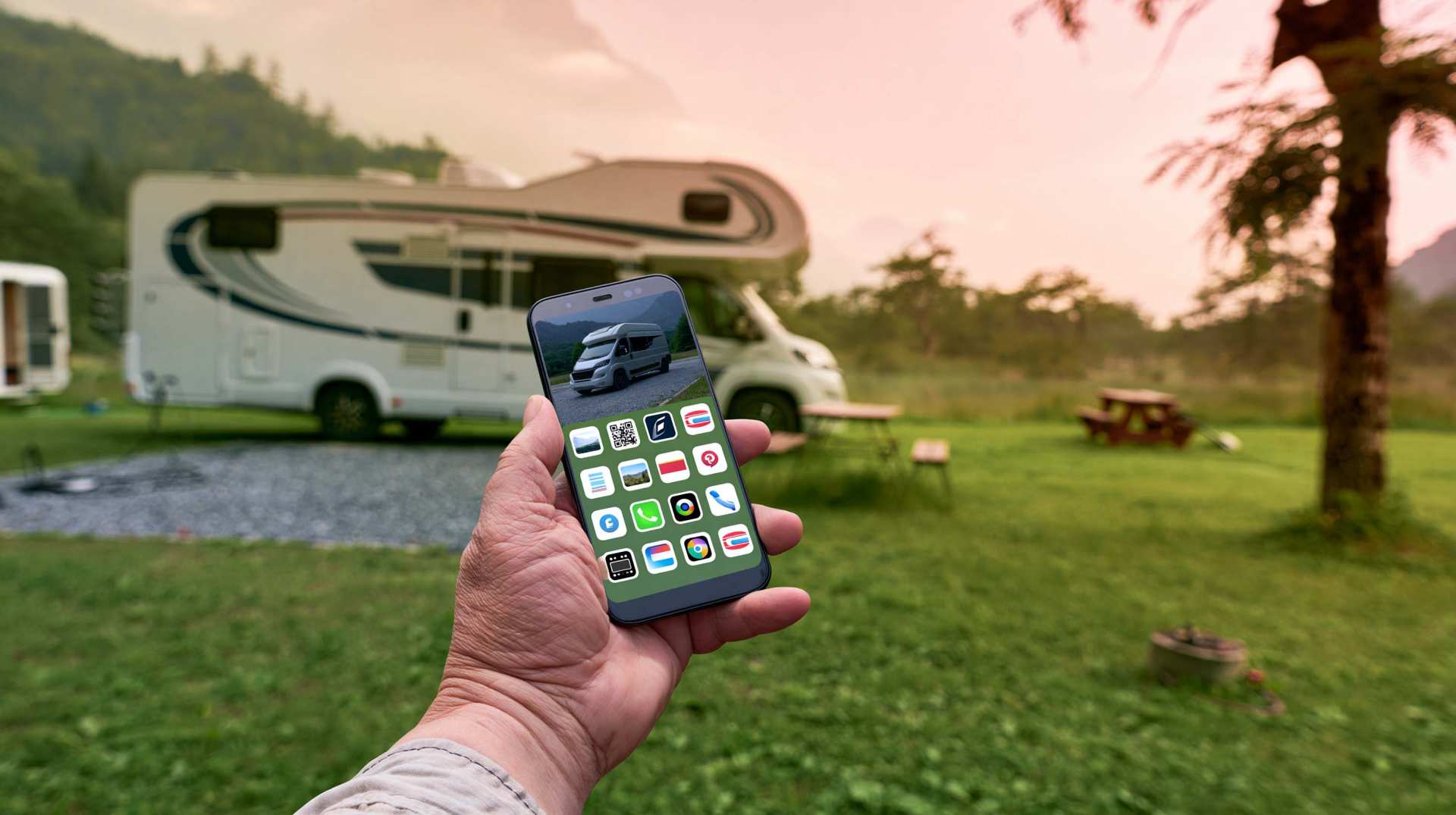
Walking Time Calculator
Estimate hiking time based on distance, elevation gain, and your pace.
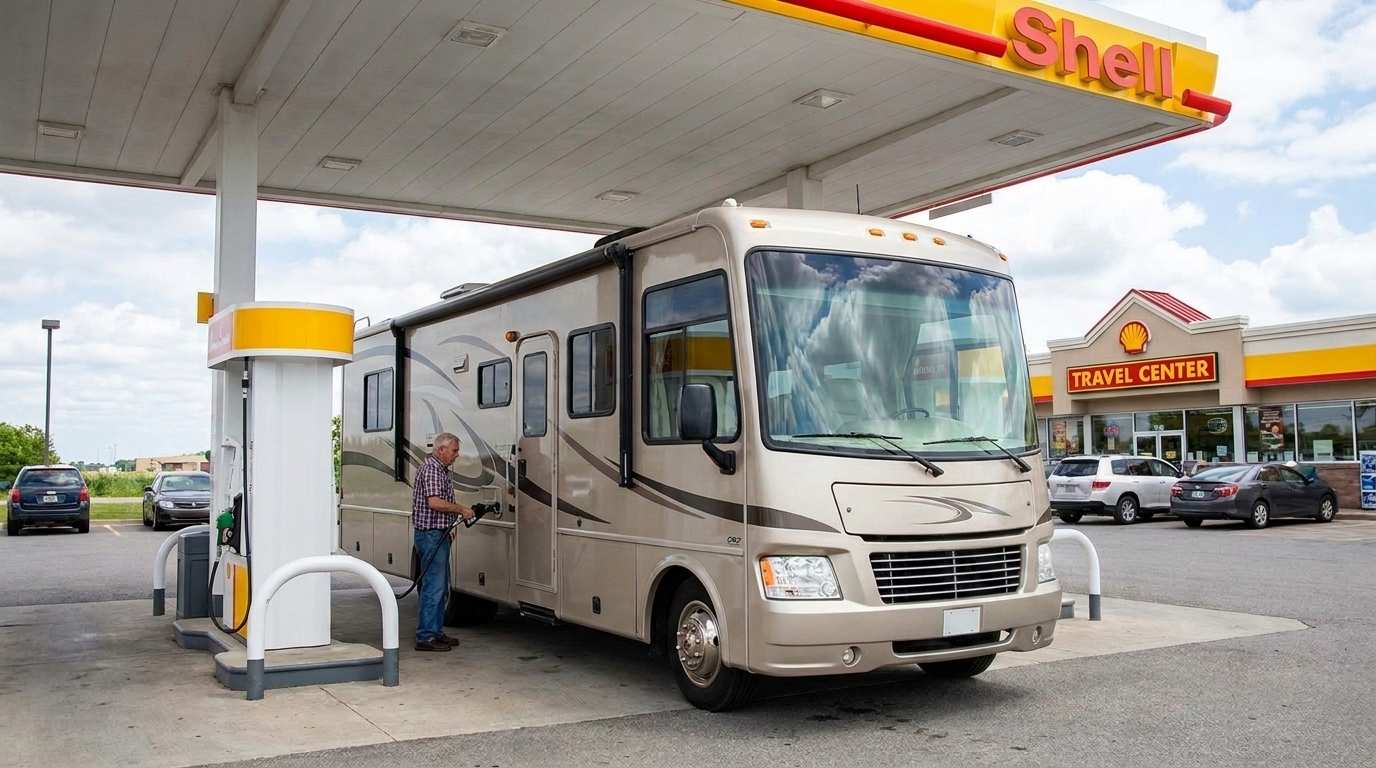
Fuel consumption calculator
Estimate your RV's fuel consumption based on distance and price per liter.
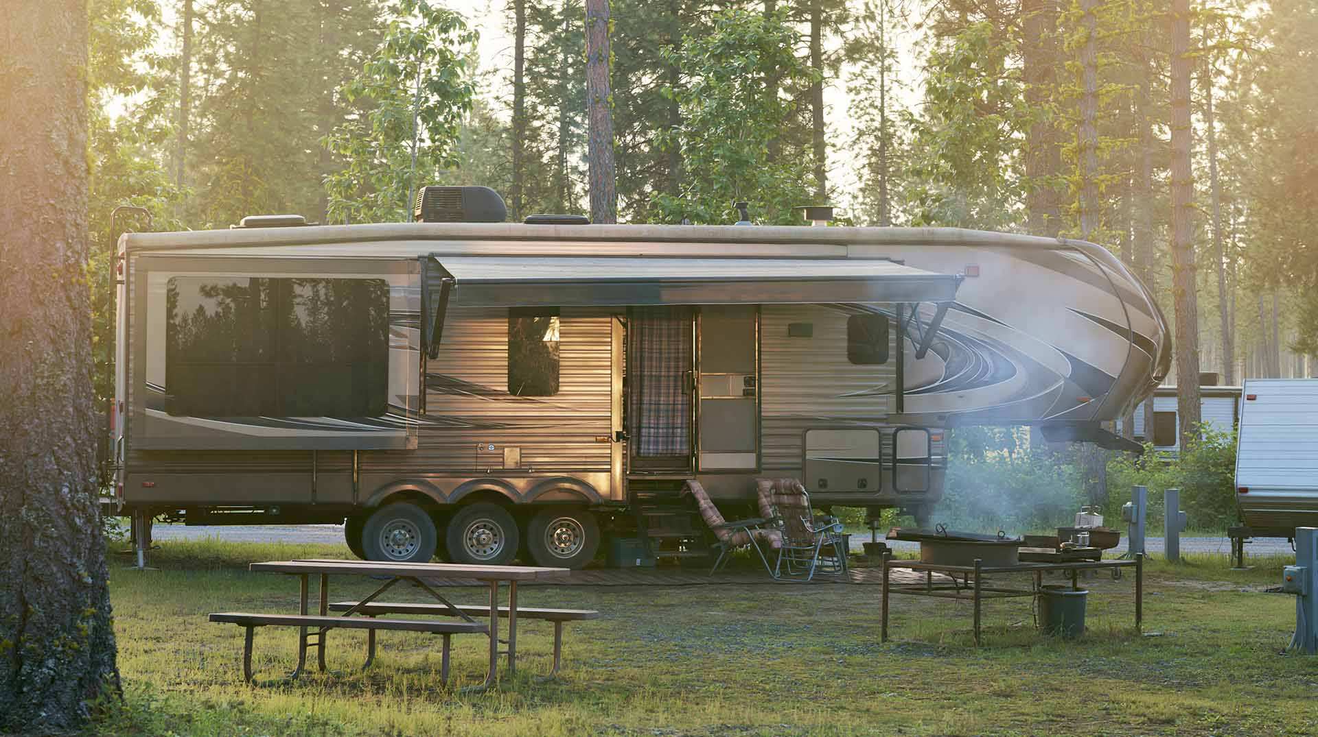
Calculateur d'autonomie selon la vitesse et le réservoir et la consommation
Estimate how far you can travel based on tank size and fuel consumption.
Tank capacity calculator for your RV
Learn how to assess the capacity of your water tanks for a successful RV trip.