

Home › Canada › Québec › Gaspésie–Îles-de-la-Madeleine › Rivière-à-Claude › 🏷️ Aires De Repos
Rivière-à-Claude Stopover
✍️ Suggested by 123Go.Quebec
Location Map
Description
Official rest area of the Ministry of Transport and Sustainable Mobility of Quebec, on Rue Principale Est, in Rivière-à-Claude. On Rue Principale Est, 160 m west of km 928. Facilities: restrooms, picnic tables. Seasonal stop (closed in winter).
🕐 Latest comments
Photo Gallery
🔒 Become a Contributor to see all photos and enjoy the site ad-free.
Become a Contributor
📍 Nearby Places
- Belvédère avec vue sur le fleuve 🏷️ Camping établi — Ruisseau-à-Rebours, Québec (1.9 km)
- Halte Hubert-Auclair 🏷️ Aires De Repos — Mont-Saint-Pierre, Québec (3.6 km)
- Camping Bernatchez 🏷️ Camping établi — Mont-Saint-Pierre, Québec (6.1 km)
- Camping Municipal Mont-Saint-Pierre 🏷️ Camping établi — Mont-Saint-Pierre, Québec (6.4 km)
📖 Also Worth Reading
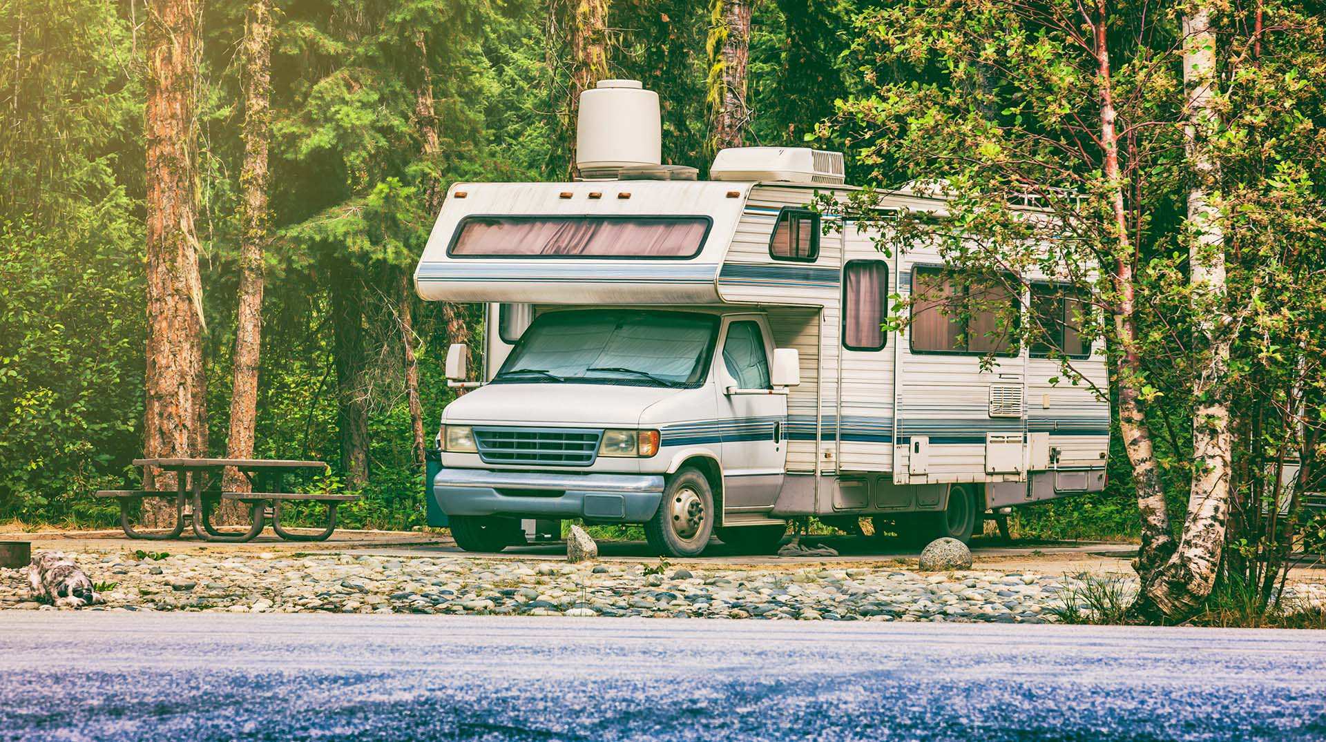
Loading weight calculator (payload)
Calculate the available payload for your RV without exceeding its maximum weight.
Brake Distance Checker According to Weight
Calculate your vehicle's braking distance based on weight and speed.
Walking Time Calculator
Estimate hiking time based on distance, elevation gain, and your pace.
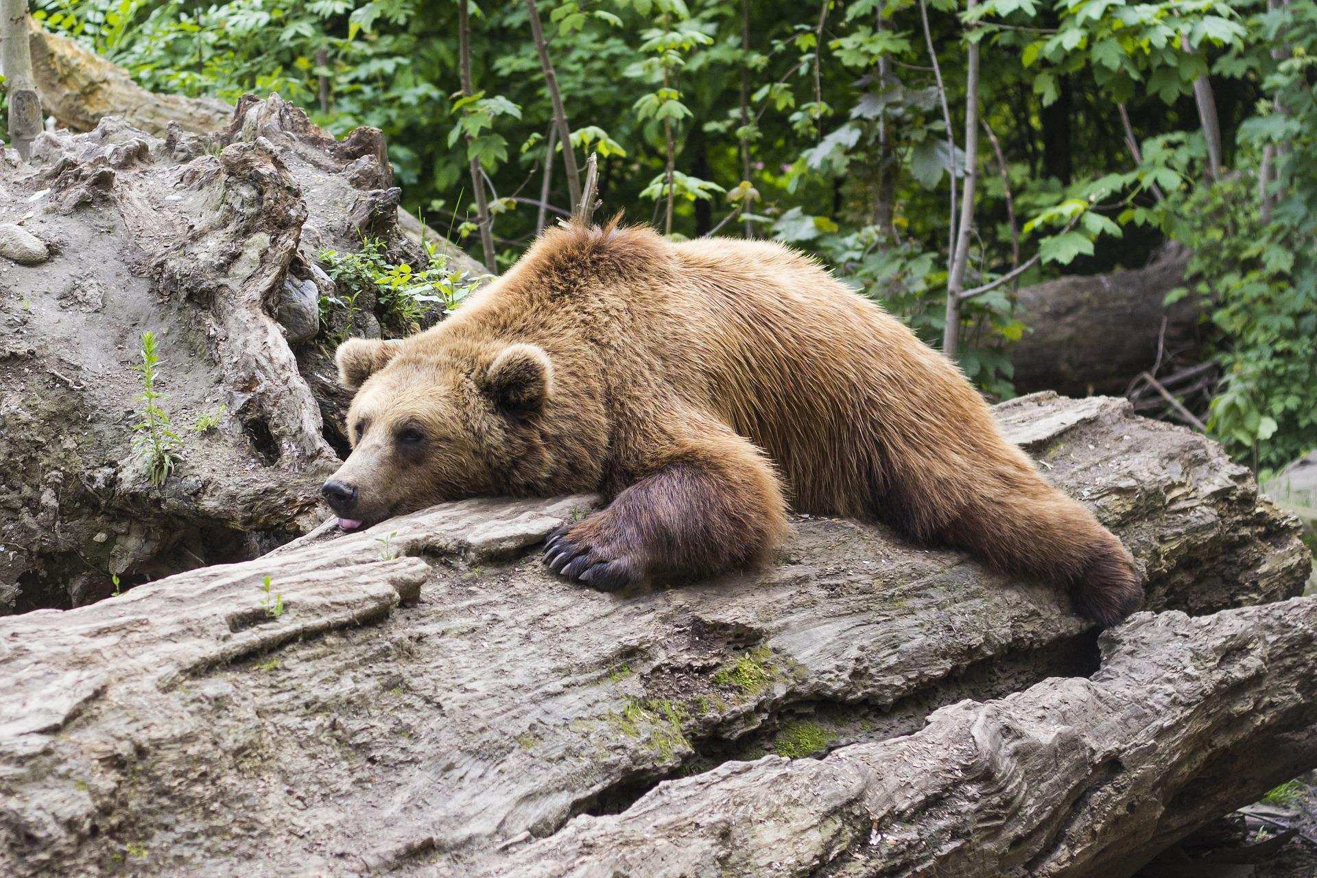
Learn how to properly use bear repellents.
How to choose and use bear spray correctly when camping in the backcountry.