

Home › États-Unis › Arizona › Tonto Basin › 🏷️ Gratuit
The El Oso Road with a View of the Lake
✍️ Suggested by A-i
Location Map
Description
About 2.5 miles from the El Oso & A Cross Rd junction. Route up hill, semi-rough terrain & probably only for 4wd/awd. Beautiful view of the lake and mountains. Pretty quiet on a Sunday, we didn’t see any cars pass by.
Had 1-2 bars of Verizon. Details: El Oso Road, Gila County, Arizona, 85553, United States
🕐 Latest comments
Photo Gallery
🔒 Become a Contributor to see all photos and enjoy the site ad-free.
Become a Contributor
📍 Nearby Places
- La Route 661 Indian Point 🏷️ Gratuit — Tonto Basin, Arizona (3.8 km)
- Vue sur le Lac Roosevelt près du Départ du Sentier Rock Creek 🏷️ Gratuit — Tonto Basin, Arizona (4.0 km)
- La FR 83 🏷️ Gratuit — Roosevelt, Arizona (23.1 km)
- Les Vues sur la Montagne 🏷️ Gratuit — Rio Verde, Arizona (25.4 km)
📖 Also Worth Reading
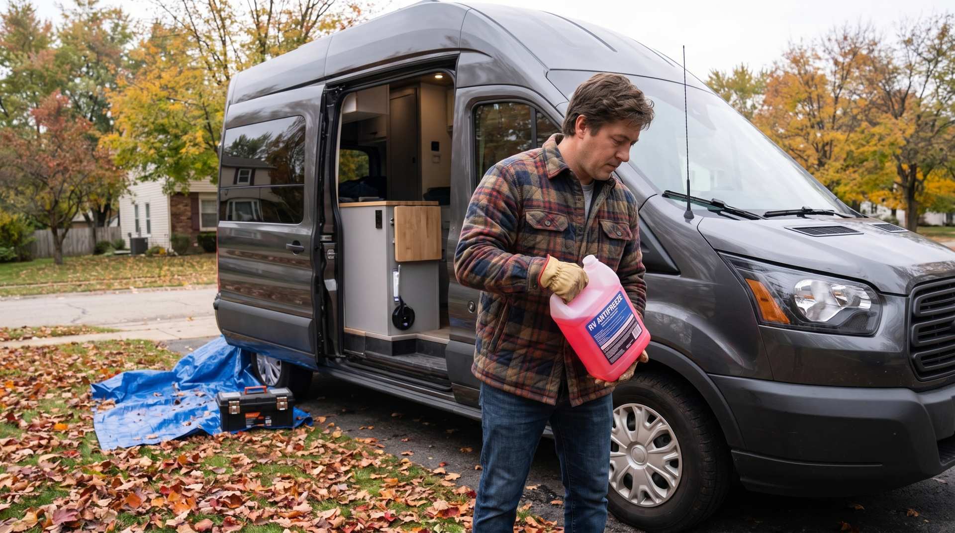
How to prepare your converted van for winter
There are no second chances when it comes to winter storage. A single night at −8 °C with a liter of water forgotten in a pipe elbow, and you’ll discover the damage in the spring — as soon as the pump turns on and sprays the inside of your RV.

Fuel consumption calculator
Estimate your RV's fuel consumption based on distance and price per liter.

Calculateur d'autonomie selon la vitesse et le réservoir et la consommation
Estimate how far you can travel based on tank size and fuel consumption.

What Is Boondocking?
You've seen the word everywhere — on social media, in RV Facebook groups, on our own map — but you're not quite sure what it actually means?