

Home › États-Unis › Colorado › Ames › 🏷️ Gratuit
Departure from the East Fork Trail
✍️ Suggested by A-i
Location Map
Description
Many sites available for campers right next to the highway. (Altitude: 3098 m)
🕐 Latest comments
Photo Gallery
🔒 Become a Contributor to see all photos and enjoy the site ad-free.
Become a Contributor
📍 Nearby Places
- Camping dispersé au col Lizard Head, Telluride, Colorado 🏷️ Gratuit — Ophir, Colorado (3.6 km)
- Le lac Barlow, Bolam Pass Road (CR 58), San Juan NF 🏷️ Gratuit — Rico, Colorado (5.6 km)
- Le col Bolam 578 🏷️ Gratuit — Rico, Colorado (14.1 km)
- Site minier de la rivière Dolores 🏷️ Gratuit — Rico, Colorado (18.8 km)
📖 Also Worth Reading
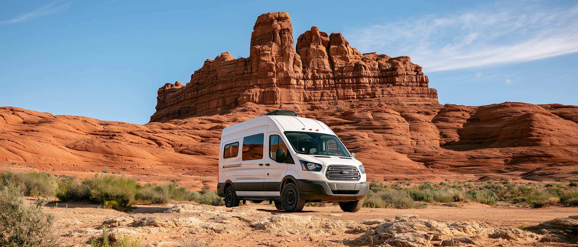
BLM Land in the U.S.: Free Camping, Length of Stay, and LTVAs
What is BLM land, how long can you camp there for free, and how do LTVAs work to stay longer? The full guide before heading out to winter in the American Southwest.
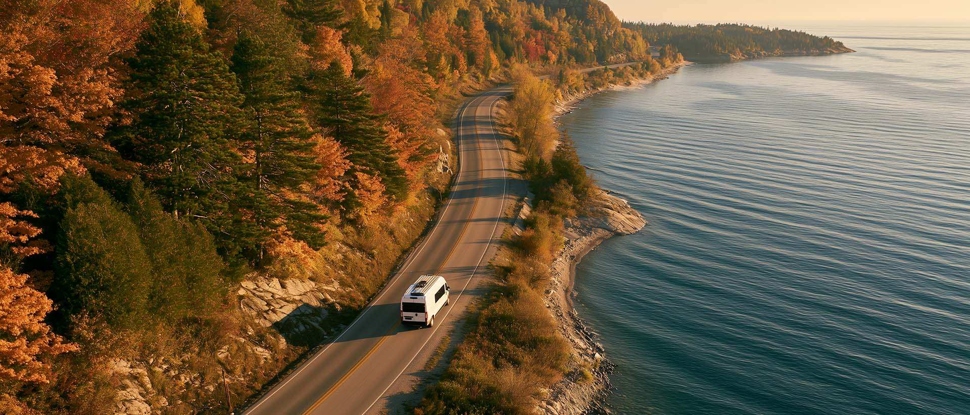
What to Do in Québec in October
October 2026 in Québec by RV: fall colours at their peak, Thanksgiving, off-season rates, and the last festivals before campgrounds close for the season.

Walking Time Calculator
Estimate hiking time based on distance, elevation gain, and your pace.

US to CAD Currency Converter: An Essential Tool
Discover how to use a US to CAD currency converter to facilitate your transactions and travels.