

Home › États-Unis › Colorado › Parlin › 🏷️ Gratuit
Public lands of Route 44
✍️ Suggested by Contributeur 123Go
Location Map
Description
BLM camping after an official sign. Access closed in winter but open to pedestrians. (Altitude: 2453 m)
🕐 Latest comments
Photo Gallery
🔒 Become a Contributor to see all photos and enjoy the site ad-free.
Become a Contributor
📍 Nearby Places
- Tomichi Dome STL – camping gratuit 🏷️ Gratuit — Waunita Hot Springs, Colorado (10.0 km)
- Emplacement n°8 du canyon Cochetopa BLM 🏷️ Gratuit — Gunnison, Colorado (18.5 km)
- Canyon Cochetopa BLM 🏷️ Gratuit — Gunnison, Colorado (19.7 km)
- Daley Gulch STL – camping gratuit 🏷️ Gratuit — Sargents, Colorado (22.2 km)
📖 Also Worth Reading
Walking Time Calculator
Estimate hiking time based on distance, elevation gain, and your pace.
Convert a distance between kilometers and miles
Convert a distance between kilometers and miles with one click.
Electricity Consumption Calculator (Ah / Wh)
Calculate the electrical consumption of your devices in amp-hours and watt-hours.
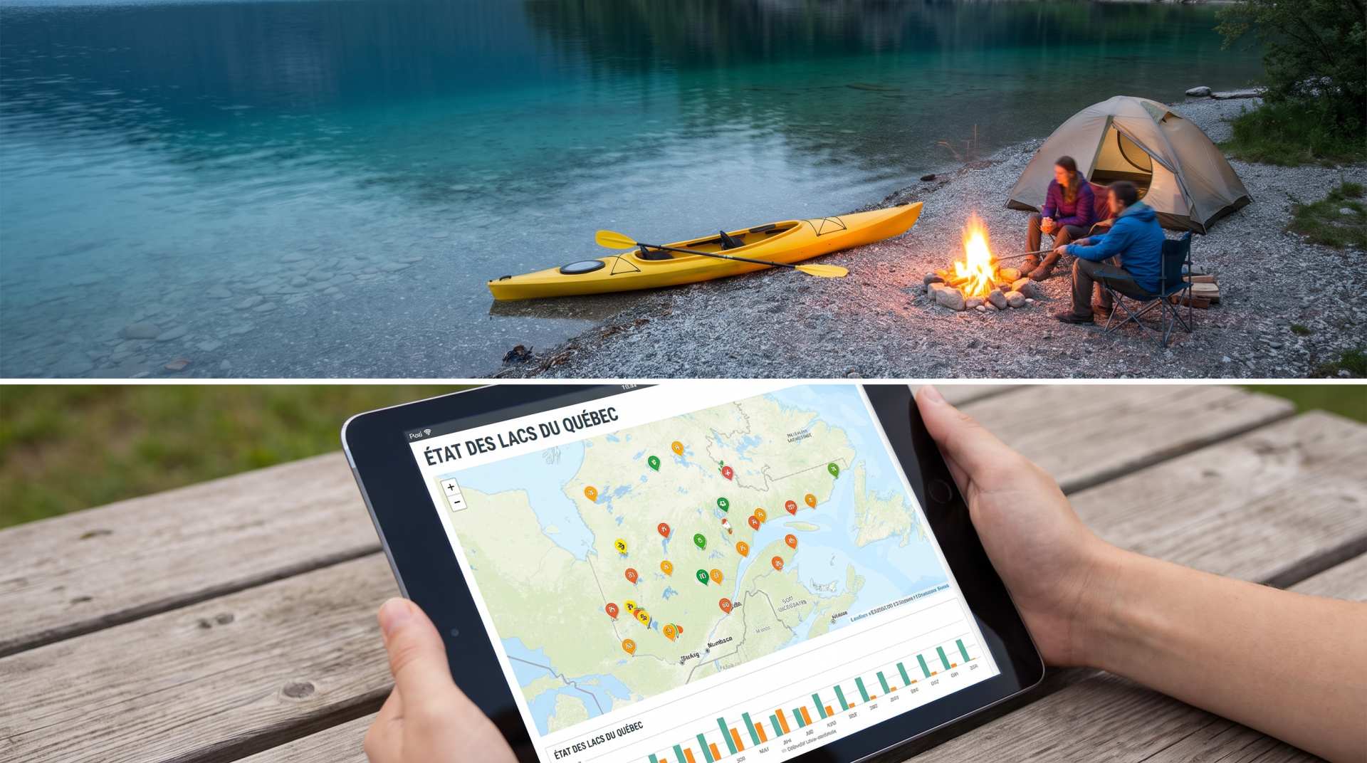
The state of Quebec's lakes: what the latest data says
Your swims and kayaking outings between two nights of camping deserve a healthy lake. Here’s what the latest data from the Government of Quebec reveals about the state of our lakes — and how to choose your next stop by the water.