

Home › États-Unis › Utah › Torrey › 🏷️ Parc d'État
Capitol Reef National Park
✍️ Suggested by 123Go.Quebec
Location Map
Description
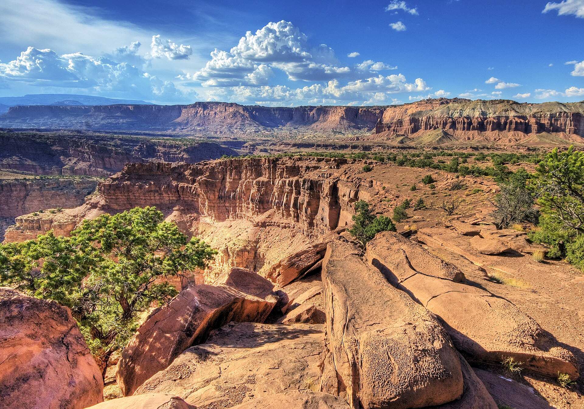
Capitol Reef protects the Waterpocket Fold, a massive geological fold nearly 160 km long in the Earth's crust, with white sandstone domes reminiscent of the Capitol in Washington. The site also enchants with the historic oasis of Fruita, where old orchards allow for fruit picking in season. The Fruita campground (71 sites) is accessible via the paved Route 24.
🕐 Latest comments
Photo Gallery
🔒 Become a Contributor to see all photos and enjoy the site ad-free.
Become a Contributor
📍 Nearby Places
- Capitol Reef West Entrance Dispersed Area 🏷️ Gratuit — Wayne, Utah (9.7 km)
- Sulphur Creek Road 🏷️ Gratuit — Wayne, Utah (10.8 km)
- Beas Lewis Flat Road 🏷️ Gratuit — Wayne, Utah (11.3 km)
- Boondocking Factory Butte Recreation Area – près de Hanksville, Utah 🏷️ Gratuit — Caineville, Utah (31.4 km)
📖 Also Worth Reading

Fuel consumption calculator
Estimate your RV's fuel consumption based on distance and price per liter.

Convert a distance between kilometers and miles
Convert a distance between kilometers and miles with one click.
Boondocking: Enjoy the Freedom, Respect the Rules
The basics of ethical, responsible camping -- how to travel while leaving no trace.

Walking Time Calculator
Estimate hiking time based on distance, elevation gain, and your pace.