

Home › Canada › Alberta › Crowsnest Pass › 🏷️ Gratuit
Le Creekside
✍️ Suggested by Contributeur 123Go
Location Map
Description
Excellent point de départ pour une randonnée vers le site de l'accident d'avion. Environ 8 km d'ici. Terrain public très calme. Fréquenté les week-ends d'été, vide en semaine. Pas de vent. Pas de réseau cellulaire. Détails: York with a Fork, Crowsnest Pass, Municipality of Crowsnest Pass, Crowsnest Pass (municipality), Alberta, T0K 0M0, Canada
🕐 Latest comments
Photo Gallery
🔒 Become a Contributor to see all photos and enjoy the site ad-free.
Become a Contributor
📍 Nearby Places
- Terrain de camping Lost Lemon 🏷️ Camping établi — Crowsnest Pass, Alberta (3.1 km)
- Station de vidange sanitaire – Crowsnest Pass 🏷️ Station de vidange sanitaire — Blairmore, Alberta (3.3 km)
- Le Water Magic 🏷️ Buanderie — Crowsnest Pass, Alberta (3.8 km)
- Le terrain en gravier - 73e rue 🏷️ Gratuit — Coleman, Alberta (3.9 km)
📖 Also Worth Reading
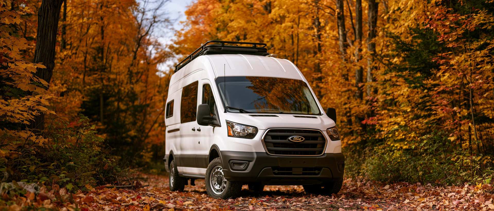
Boondocking: Enjoy the Freedom, Respect the Rules
The basics of ethical, responsible camping -- how to travel while leaving no trace.
Walking Time Calculator
Estimate hiking time based on distance, elevation gain, and your pace.
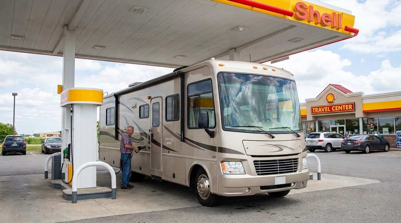
Fuel consumption calculator
Estimate your RV's fuel consumption based on distance and price per liter.
Loading weight calculator (payload)
Calculate the available payload for your RV without exceeding its maximum weight.