

Home › Canada › Colombie-Britannique › Castle Rock › 🏷️ Gratuit
Le ferry Marguerite
✍️ Suggested by Contributeur 123Go
Location Map
Description
Ancienne route en gravier où traversait le ferry Marguerite. Accès facile à la rivière Fraser avec excellent réseau mobile.
🕐 Latest comments
Photo Gallery
🔒 Become a Contributor to see all photos and enjoy the site ad-free.
Become a Contributor
📍 Nearby Places
- La rivière Fraser 🏷️ Gratuit — Area D (Commodore Heights/McLeese Lake), Colombie-Britannique (10.0 km)
- Le point de vue de la rivière Fraser 🏷️ Gratuit — Macalister, Colombie-Britannique (14.7 km)
- Aire de repos de l'autoroute 97 🏷️ Gratuit — Quesnel, Colombie-Britannique (20.2 km)
- Vue sur la vallée du Fraser 🏷️ Gratuit — Williams Lake, Colombie-Britannique (38.4 km)
📖 Also Worth Reading
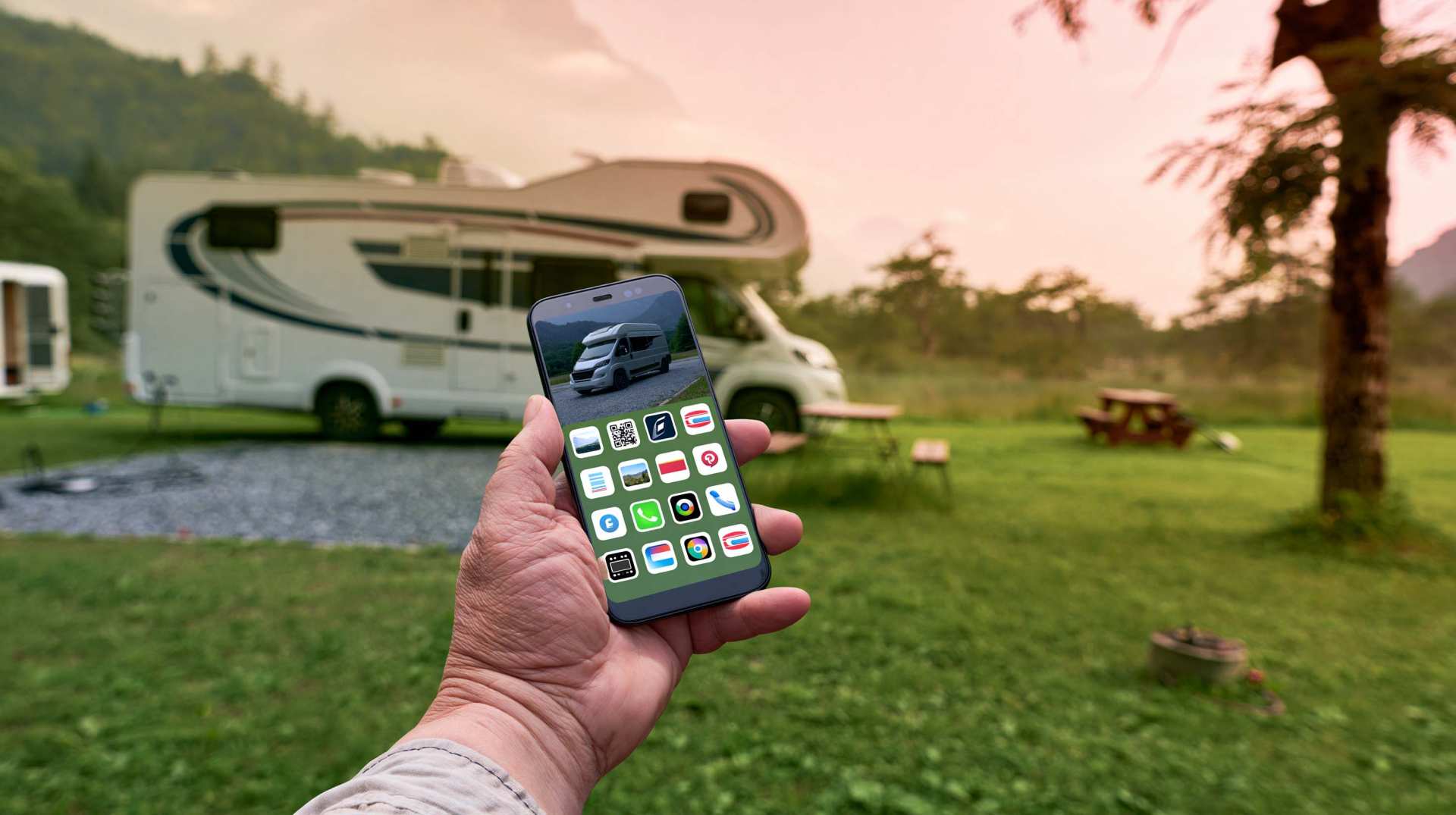
Unit converter (length, weight, volume)
Quickly convert length, weight, and volume between imperial and metric.
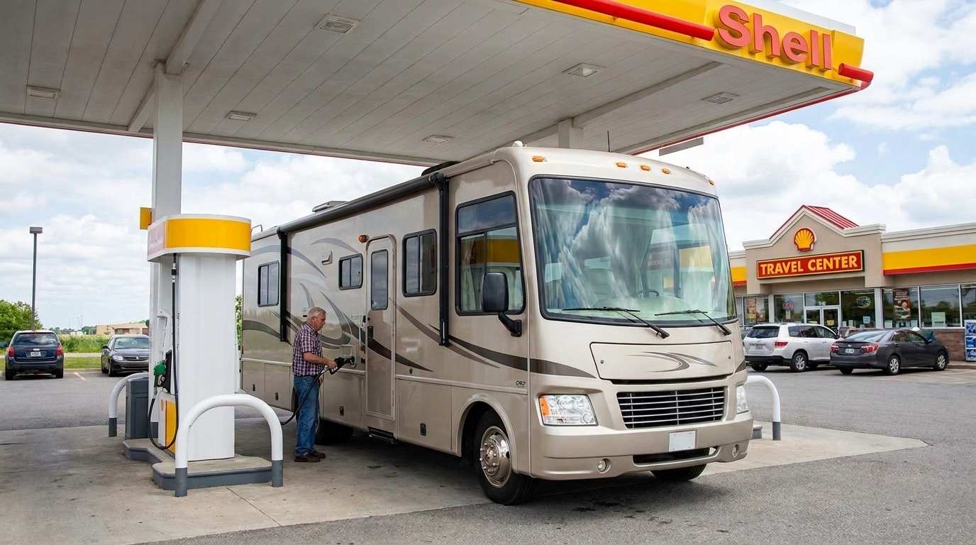
Fuel consumption calculator
Estimate your RV's fuel consumption based on distance and price per liter.
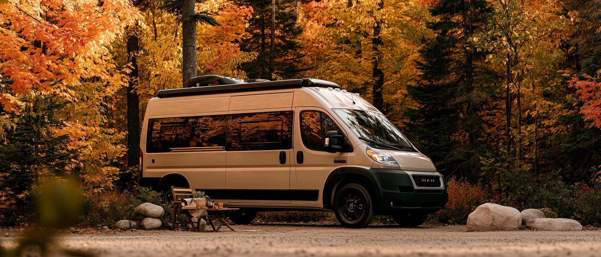
What Is Boondocking?
You've seen the word everywhere — on social media, in RV Facebook groups, on our own map — but you're not quite sure what it actually means?
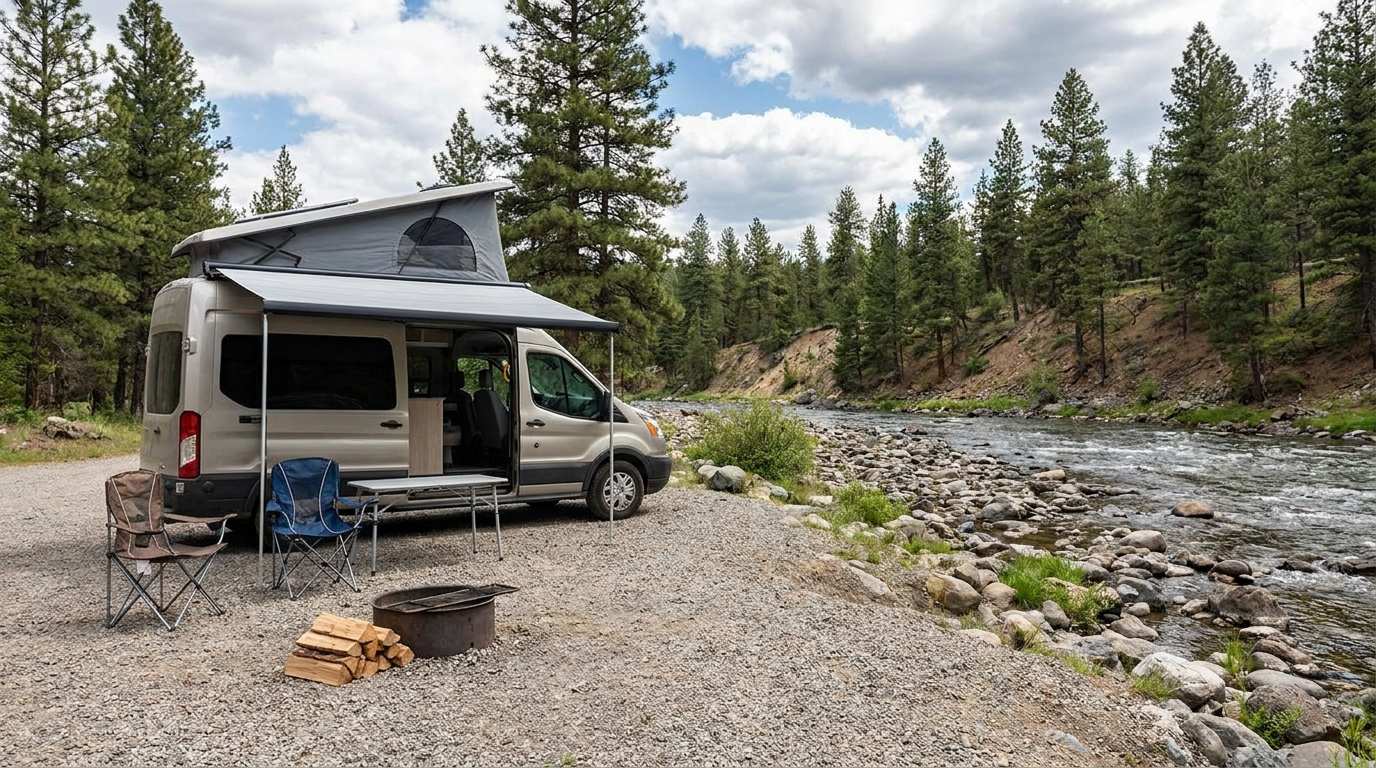
Discover free camping spots for recreational vehicles in Quebec, Canada, and the United States.
Discover the best free camping spots in Quebec, Canada, and the United States with our interactive map. Share and add your own boondocking locations!