

Home › Canada › Manitoba › Culver › 🏷️ Gratuit
Deux étangs sur l'autoroute 44
✍️ Suggested by Contributeur 123Go
Location Map
Description
Petite clairière juste à côté de l'autoroute par une courte route de terre. Convient pour un ou deux véhicules de camping. L'herbe est longue donc peu idéale pour les tentes, mais belle vue sur les étangs et marais.
🕐 Latest comments
Photo Gallery
🔒 Become a Contributor to see all photos and enjoy the site ad-free.
Become a Contributor
📍 Nearby Places
- Station de vidange sanitaire – Unorganized Division No. 1 (3) 🏷️ Station de vidange sanitaire — Brereton Lake, Manitoba (11.6 km)
- Le camping des Pins 🏷️ Camping établi — Rural Municipality of Reynolds, Manitoba (27.0 km)
- Nutimik Lake Campsite 🏷️ Camping établi — Oakbank, Manitoba (28.7 km)
- Otter Falls Campground 🏷️ Petit Prix — Unorganized Division No. 1, Manitoba (30.0 km)
📖 Also Worth Reading
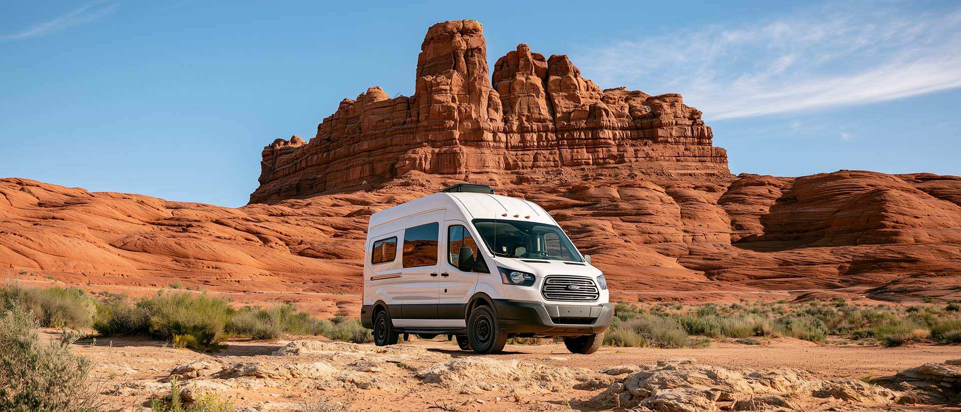
BLM Land in the U.S.: Free Camping, Length of Stay, and LTVAs
What is BLM land, how long can you camp there for free, and how do LTVAs work to stay longer? The full guide before heading out to winter in the American Southwest.

Calculateur d'autonomie selon la vitesse et le réservoir et la consommation
Estimate how far you can travel based on tank size and fuel consumption.

Unit converter (length, weight, volume)
Quickly convert length, weight, and volume between imperial and metric.

Fuel consumption calculator
Estimate your RV's fuel consumption based on distance and price per liter.