

Home › Canada › Northwest Territories › Gwich'in Settlement Area › 🏷️ Gratuit
Sablière à l'ouest du Dempster
✍️ Suggested by Contributeur 123Go
Amenities
🚌 Big RV Friendly
Location Map
Description
Près d'un ruisseau où la route est construite en hauteur. Endroit choisi pour être mieux protégé des vents de plus de 80 km/h. Deux foyers présents. Convient bien aux gros véhicules ; attention à la pente vers le ruisseau.
🕐 Latest comments
🔒 Contributors can edit place listings (fix a detail, add a photo...). Subscribe to unlock "I've stopped here."
Photo Gallery
🔒 Become a Contributor to see all photos and enjoy the site ad-free.
Become a Contributor
📍 Nearby Places
- Sommet de la colline 🏷️ Gratuit — Gwich'in Settlement Area, Northwest Territories (12.7 km)
- Le Camping gouvernemental Rock River 🏷️ Camping établi — Dempster Highway, Yukon (32.4 km)
- Terrain de camping territorial Natainlaii 🏷️ Camping établi — Fort McPherson, Northwest Territories (50.8 km)
- Ft McPherson Village Campground 🏷️ Gratuit — Fort McPherson, Northwest Territories (54.9 km)
📖 Also Worth Reading
Blog Article
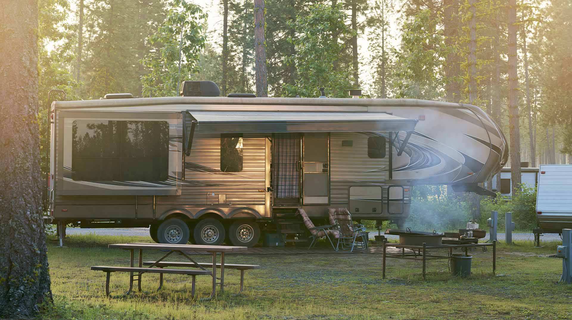
Calculateur d'autonomie selon la vitesse et le réservoir et la consommation
Estimate how far you can travel based on tank size and fuel consumption.
Blog Article
Recreational Vehicle Battery Life Calculator
Estimate the autonomy of your RV battery bank based on your consumption.
Blog Article
Brake Distance Checker According to Weight
Calculate your vehicle's braking distance based on weight and speed.
Blog Article
Convert a distance between kilometers and miles
Convert a distance between kilometers and miles with one click.
⚠️ This listing is provided for informational purposes only. Before staying overnight, make sure you have the right to be there, always leave no trace (pick up your trash), respect wildlife, and follow local laws and regulations. If you believe this listing contains an error or would like to request its removal.
Is this place closed?
🚫 Report as closed
An error on this listing?
📝 Report a problem