

Home › Canada › Québec › Saguenay–Lac-Saint-Jean › Saint-Félix-d'Otis › 🏷️ Camping établi
Camping municipal de Saint-Félix-d'Otis
✍️ Suggested by Contributeur 123Go
Location Map
Description
Camping municipal de 236 emplacements (avec ou sans services), à mi-chemin entre Saguenay et le fjord, sur les rives du lac Otis. Le site donne accès à la seule plage publique de la rive sud du Fjord-du-Saguenay, avec restaurant à proximité et chalets de villégiature quatre saisons. Ouvert de la fin mai à la mi-septembre.
🕐 Latest comments
Photo Gallery
🔒 Become a Contributor to see all photos and enjoy the site ad-free.
Become a Contributor
📍 Nearby Places
- Halte de Saint-Félix-d'Otis 🏷️ Aires De Repos — Saint-Félix-d'Otis, Québec (4.3 km)
- Camping La descente Des Femmes 🏷️ Camping établi — Sainte-Rose-du-Nord, Québec (10.6 km)
- Point de vue sur La Baie 🏷️ Gratuit — Saguenay, Québec (10.9 km)
- Halte de Sainte-Rose-du-Nord 🏷️ Aires De Repos — Sainte-Rose-du-Nord, Québec (12.8 km)
📖 Also Worth Reading
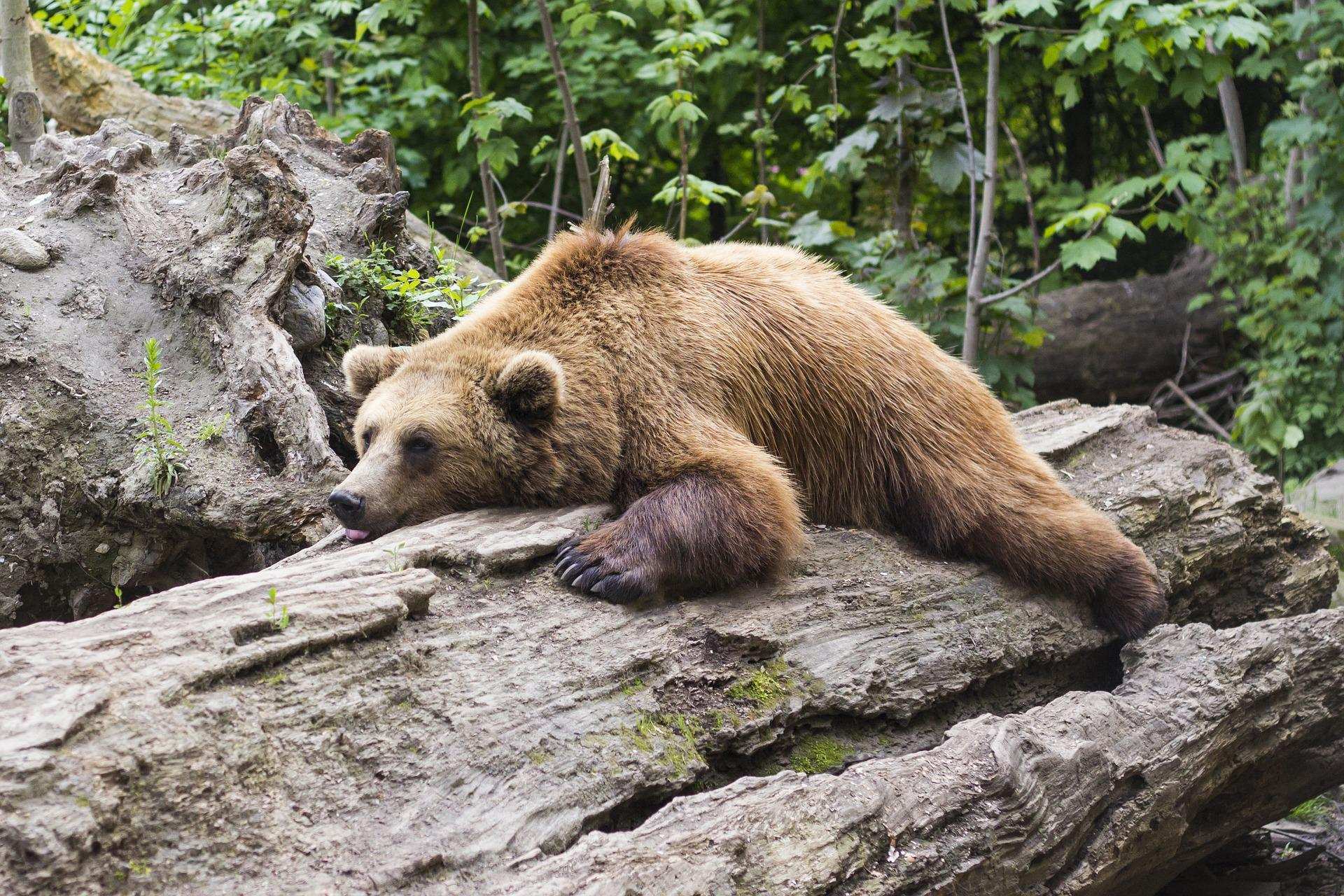
Learn how to properly use bear repellents.
How to choose and use bear spray correctly when camping in the backcountry.

Walking Time Calculator
Estimate hiking time based on distance, elevation gain, and your pace.

The state of Quebec's lakes: what the latest data says
Your swims and kayaking outings between two nights of camping deserve a healthy lake. Here’s what the latest data from the Government of Quebec reveals about the state of our lakes — and how to choose your next stop by the water.

Price Increase: The Mathematical Strategy for Choosing Your Campsite Without Breaking the Bank
Cinq stratégies chiffrées pour choisir son camping intelligemment face à la hausse de l'essence : point de bascule essence/terrain, tactique du semi-servi, zones municipales gratuites et plus.