

Home › Canada › Yukon › Teslin › 🏷️ Gratuit
Route de la tour radio de Rancheria
✍️ Suggested by Contributeur 123Go
Location Map
Description
Route bien établie quittant l'autoroute Alaska, montée raide vers un site de tour radio. VRs petits jusqu'à la base. Alaska Highway, Rancheria, Yukon, Canada
🕐 Latest comments
Photo Gallery
🔒 Become a Contributor to see all photos and enjoy the site ad-free.
Become a Contributor
📍 Nearby Places
- Chutes de Rancheria 🏷️ Gratuit — Rancheria, Yukon (8.4 km)
- Ruisseau Porcupine 🏷️ Gratuit — Rancheria, Yukon (10.0 km)
- Rancheria rivière 🏷️ Camping sauvage — Watson Lake, Yukon (11.2 km)
- Le Camp de pêche 🏷️ Gratuit — Rancheria, Yukon (15.6 km)
📖 Also Worth Reading
Walking Time Calculator
Estimate hiking time based on distance, elevation gain, and your pace.
Calculateur d'autonomie selon la vitesse et le réservoir et la consommation
Estimate how far you can travel based on tank size and fuel consumption.
Boondocking: Enjoy Freedom, Respect the Rules
You've seen the word everywhere — on social media, in RV Facebook groups, on our own map — but you're not quite sure what it actually means?
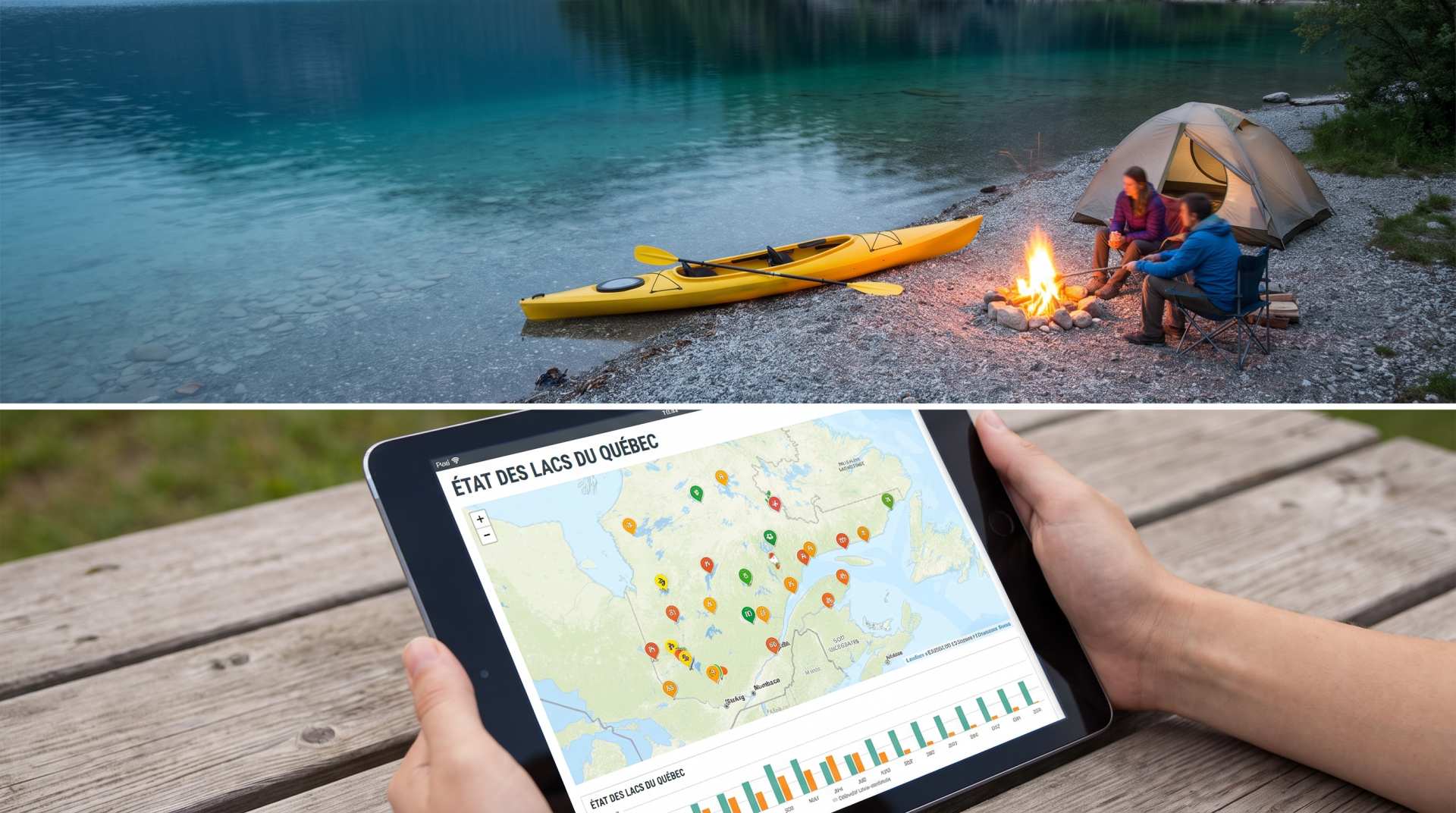
The state of Quebec's lakes: what the latest data says
Your swims and kayaking outings between two nights of camping deserve a healthy lake. Here’s what the latest data from the Government of Quebec reveals about the state of our lakes — and how to choose your next stop by the water.