

Home › États-Unis › Alaska › Chicken › 🏷️ Gratuit
Autoroute Top of the World à côté de la rivière
✍️ Suggested by A-i
Amenities
Location Map
Description
Emplacement le long de la rivière à l'est de Chicken, le long de la Taylor Highway. Convient aux camion-campeurs, mais pas aux plus gros véhicules. Pas de réception cellulaire. Taylor Highway, Chicken, Alaska, 99732, États-Unis. (Altitude: 483 m; Eau de source, potabilité non confirmée)
🕐 Latest comments
Photo Gallery
🔒 Become a Contributor to see all photos and enjoy the site ad-free.
Become a Contributor
📍 Nearby Places
- À côté de la route 🏷️ Gratuit — Chicken, Alaska (6.0 km)
- Le saloon Chicken Creek Café 🏷️ Gratuit — Chicken, Alaska (7.7 km)
- Au Bord de la Rivière avant Chicken 🏷️ Gratuit — Unorganized Borough, Alaska (10.1 km)
- Le site de camping à la rivière Mosquito Fork avant Chicken 🏷️ Gratuit — Chicken, Alaska (10.3 km)
📖 Also Worth Reading

Tank capacity calculator for your RV
Learn how to assess the capacity of your water tanks for a successful RV trip.
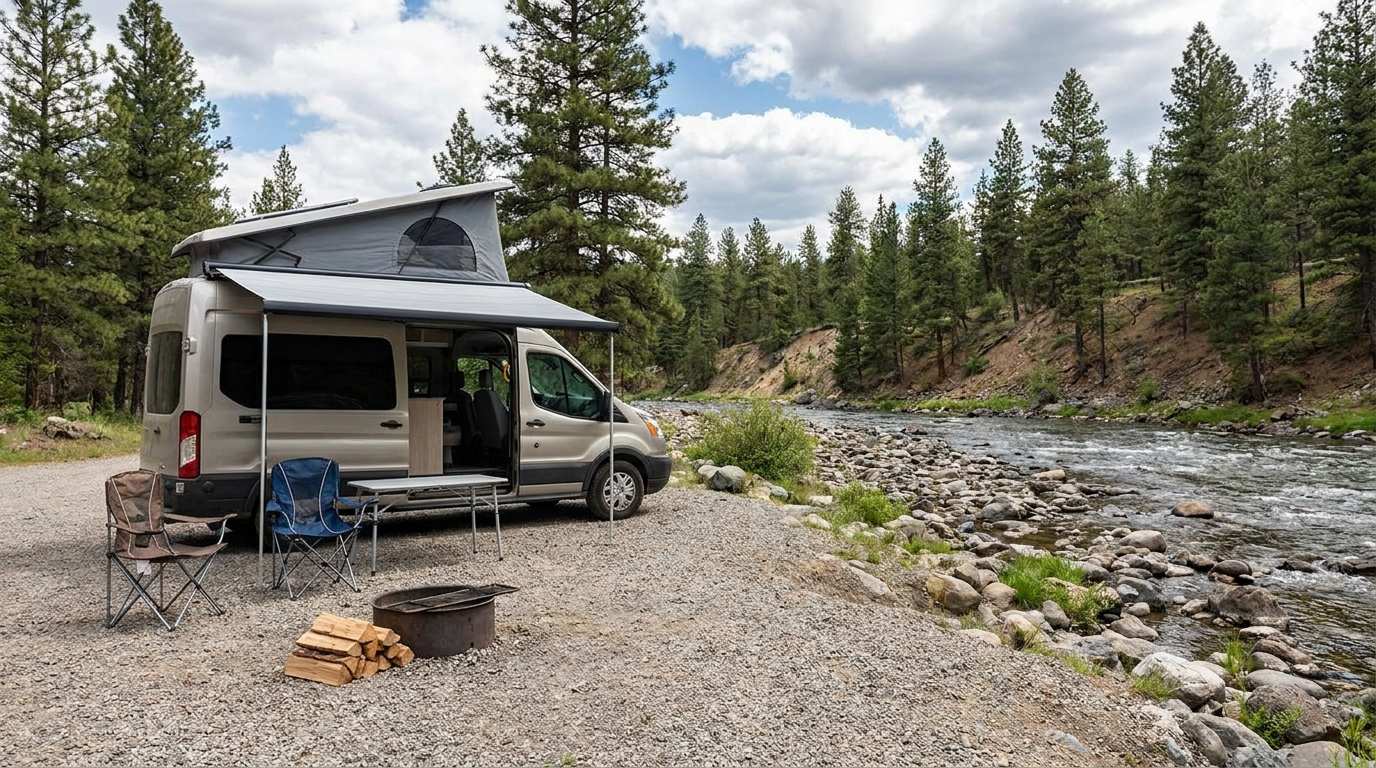
Discover free camping spots for recreational vehicles in Quebec, Canada, and the United States.
Discover the best free camping spots in Quebec, Canada, and the United States with our interactive map. Share and add your own boondocking locations!
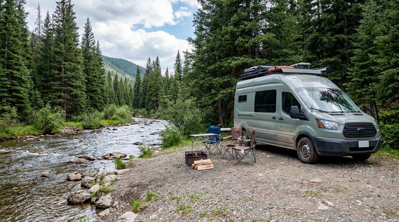
Electricity Consumption Calculator (Ah / Wh)
Calculate the electrical consumption of your devices in amp-hours and watt-hours.

US to CAD Currency Converter: An Essential Tool
Discover how to use a US to CAD currency converter to facilitate your transactions and travels.