

Home › États-Unis › Arizona › Pine, Arizona › 🏷️ Gratuit
La Route de Contrôle des Incendies
✍️ Suggested by A-i
Location Map
Description
Large espace juste à côté de la route, peu de trafic la nuit. Détails: Fire Control Road 64, Gila County, Arizona, 85544, United States
🕐 Latest comments
🔒 Contributors can edit place listings (fix a detail, add a photo...). Subscribe to unlock "I've stopped here."
Photo Gallery
🔒 Become a Contributor to see all photos and enjoy the site ad-free.
Become a Contributor
📍 Nearby Places
- La Vieille Route de Campagne 🏷️ Gratuit — Pine, Arizona, Arizona (3.5 km)
- Le Départ du Sentier Geronimo 🏷️ Gratuit — Payson, Arizona (5.2 km)
- La FR 608 🏷️ Gratuit — Pine, Arizona, Arizona (9.4 km)
- La Route Forestière 209 🏷️ Gratuit — Payson, Arizona (10.0 km)
📖 Also Worth Reading
Blog Article
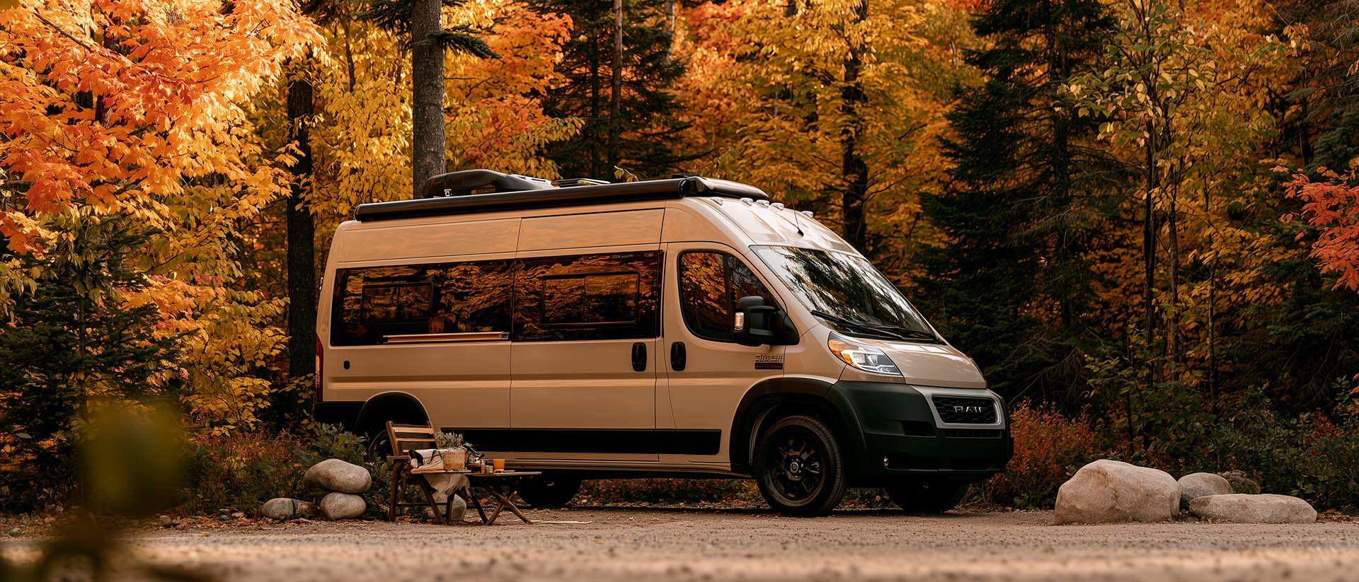
What Is Boondocking?
You've seen the word everywhere — on social media, in RV Facebook groups, on our own map — but you're not quite sure what it actually means?

Blog Article
Unit converter (length, weight, volume)
Quickly convert length, weight, and volume between imperial and metric.
Blog Article
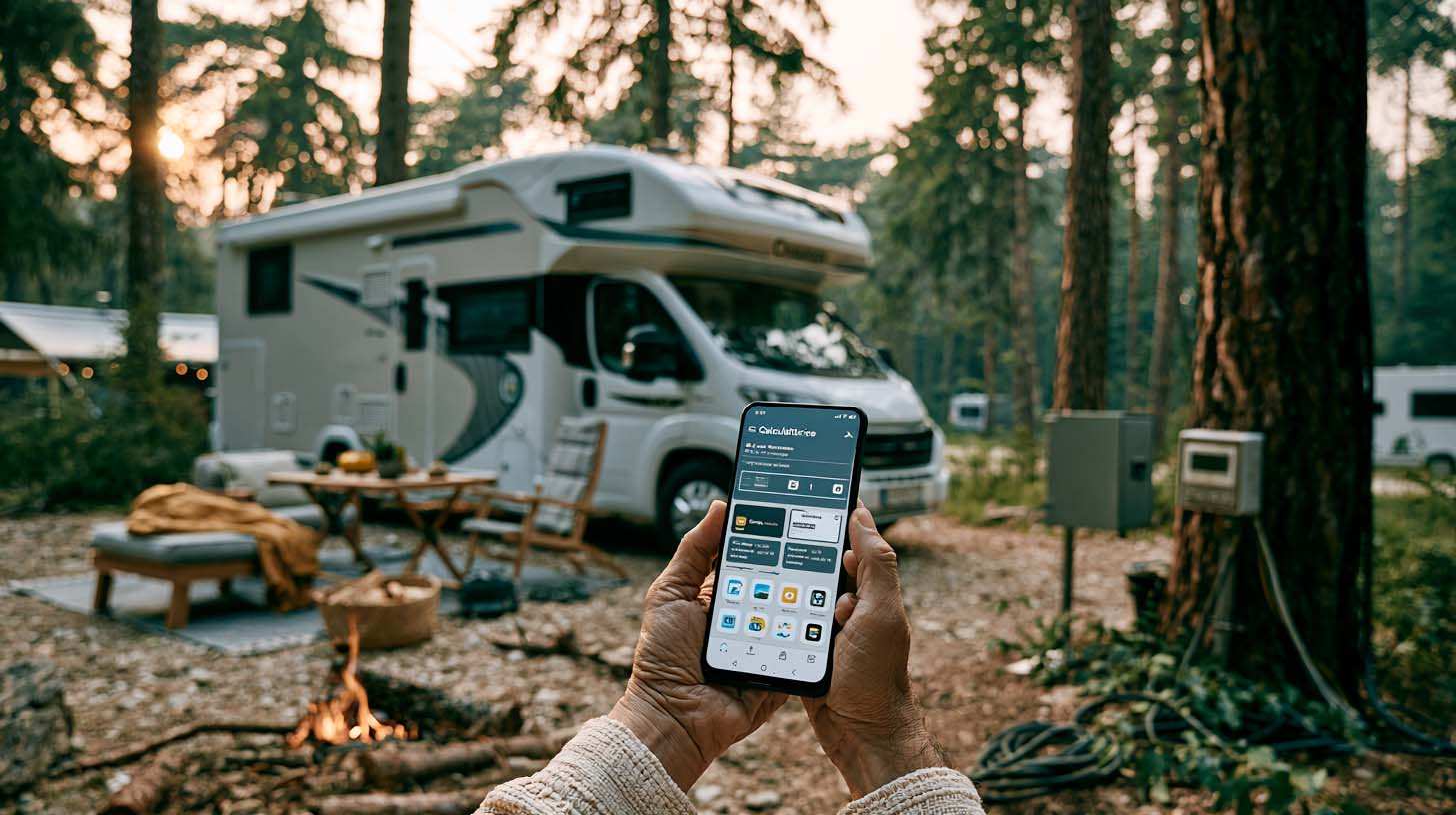
Brake Distance Checker According to Weight
Calculate your vehicle's braking distance based on weight and speed.
Blog Article
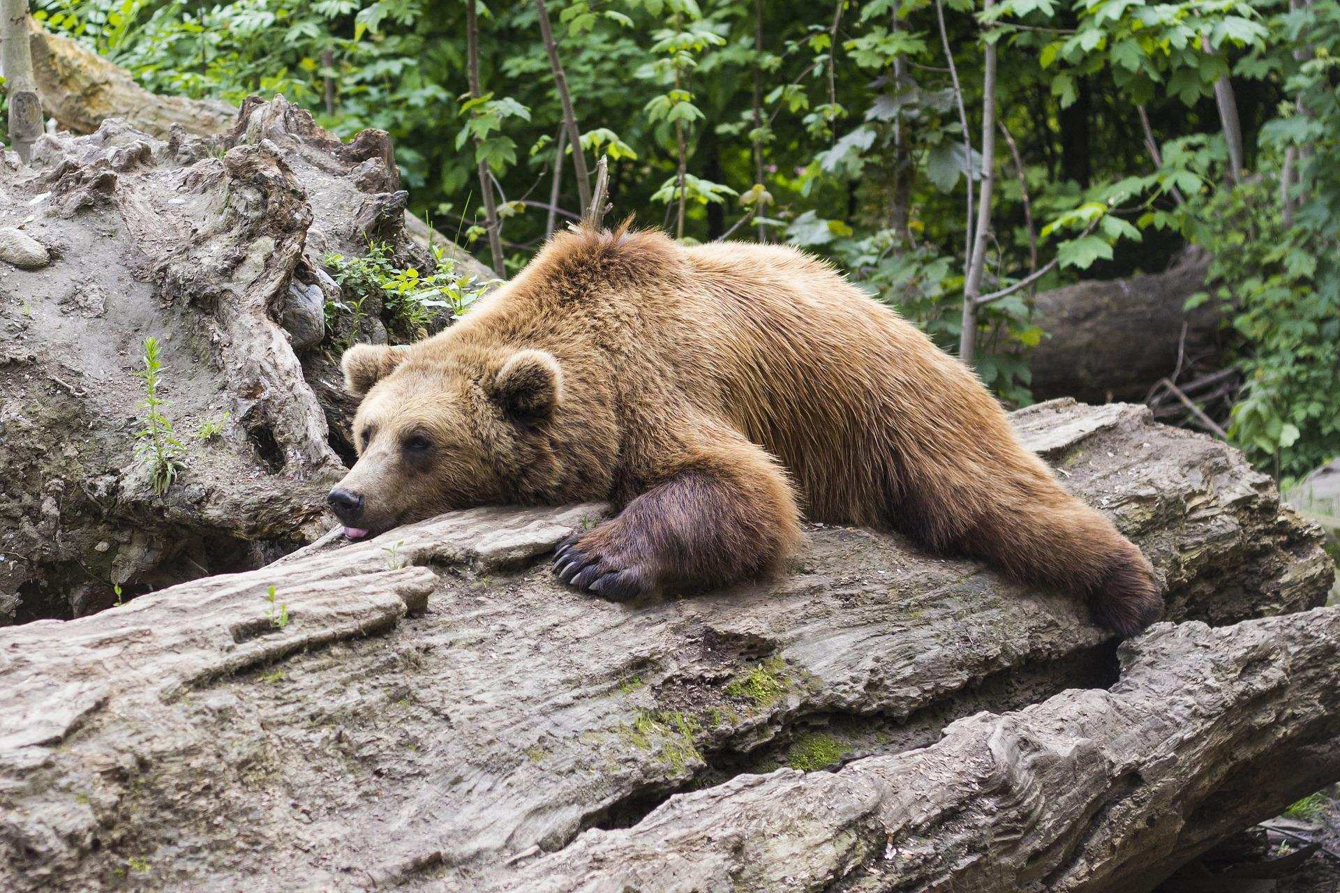
Learn how to properly use bear repellents.
How to choose and use bear spray correctly when camping in the backcountry.
⚠️ This listing is provided for informational purposes only. Before staying overnight, make sure you have the right to be there, always leave no trace (pick up your trash), respect wildlife, and follow local laws and regulations. If you believe this listing contains an error or would like to request its removal.
Is this place closed?
🚫 Report as closed
An error on this listing?
📝 Report a problem