

Home › États-Unis › Colorado › Walsenburg › 🏷️ Gratuit
Terrain BLM sur l'I-25, sortie 56
✍️ Suggested by Contributeur 123Go
Location Map
Description
Terrain plat et ouvert, aucun aménagement. Situé sur une route de campagne près de l'I-25. (Signal cellulaire/Wifi: Oui - Average; Altitude: 1893 m)
🕐 Latest comments
Photo Gallery
🔒 Become a Contributor to see all photos and enjoy the site ad-free.
Become a Contributor
📍 Nearby Places
- Lathrop State Park – camping 🏷️ Parc d'État — Walsenburg, Colorado (11.4 km)
- Group B – camping 🏷️ Camping établi — Walsenburg, Colorado (12.3 km)
- Yucca – camping 🏷️ Camping établi — Walsenburg, Colorado (12.6 km)
- Aire de repos Cuerno Verde-Colorado City 🏷️ Gratuit — Pueblo, Colorado (27.2 km)
📖 Also Worth Reading
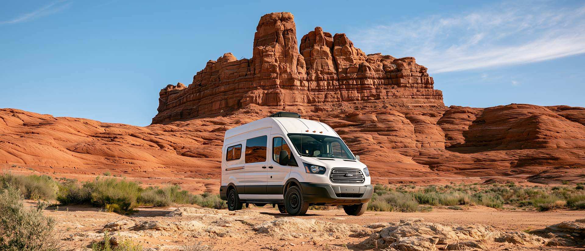
BLM Land in the U.S.: Free Camping, Length of Stay, and LTVAs
What is BLM land, how long can you camp there for free, and how do LTVAs work to stay longer? The full guide before heading out to winter in the American Southwest.
Loading weight calculator (payload)
Calculate the available payload for your RV without exceeding its maximum weight.
Walking Time Calculator
Estimate hiking time based on distance, elevation gain, and your pace.
Electricity Consumption Calculator (Ah / Wh)
Calculate the electrical consumption of your devices in amp-hours and watt-hours.