

Home › États-Unis › Oregon › Lake County › 🏷️ Gratuit
Près du départ du sentier de Hager Mountain
✍️ Suggested by Contributeur 123Go
Location Map
Description
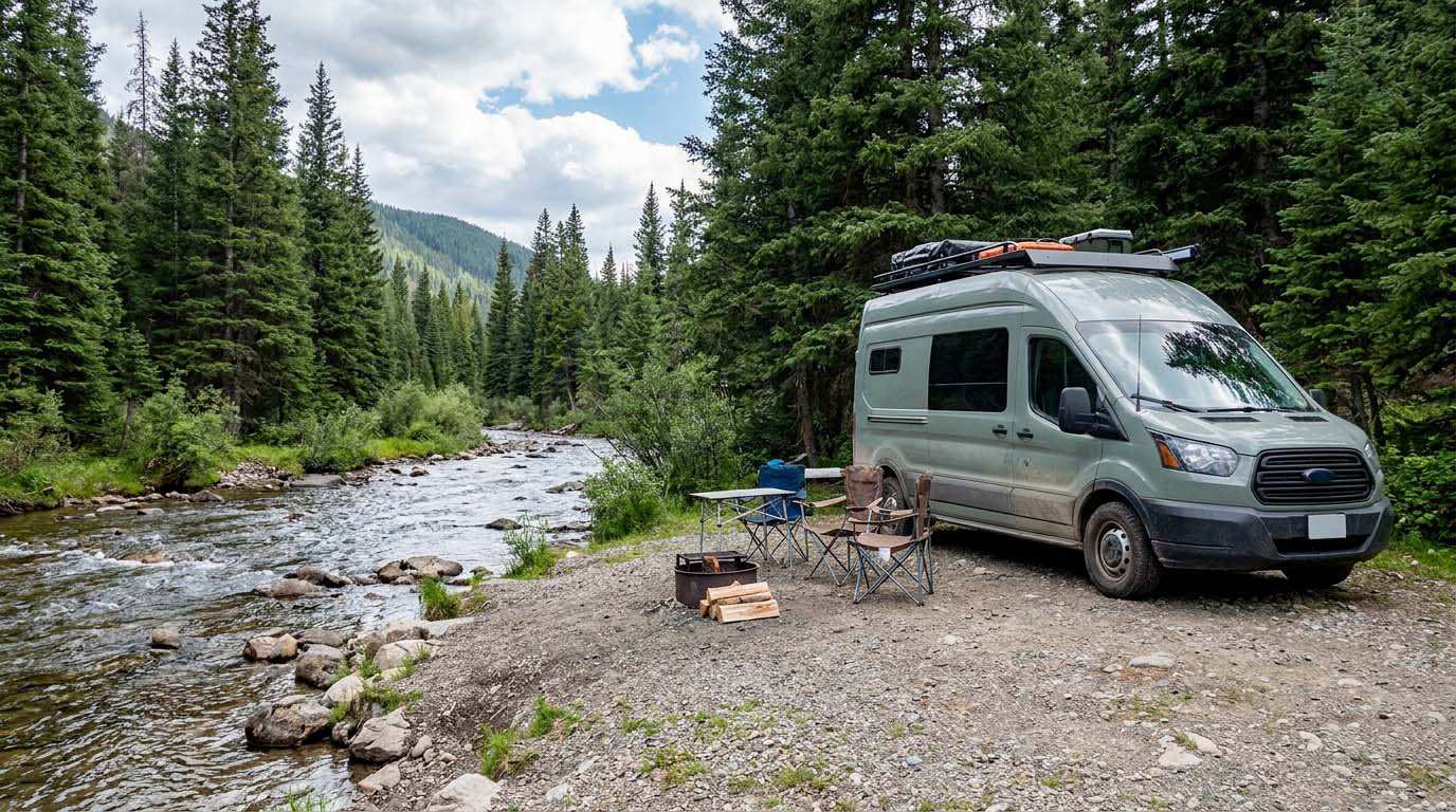
Endroit isolé, entouré de pins, situé près du départ du sentier de Hager Mountain. La route est cahoteuse, mais accessible en 2WD. Aucun service disponible. Respectez la nature et laissez les lieux propres.
🕐 Latest comments
Photo Gallery
🔒 Become a Contributor to see all photos and enjoy the site ad-free.
Become a Contributor
📍 Nearby Places
- District de l'eau de Christmas Valley 🏷️ Eau Potable — Christmas Valley, Oregon (41.4 km)
- Jones Crossing Forest Camp 🏷️ Camping établi — Paisley, Oregon (57.1 km)
- Walt Haring Sno-Park RV Dump Station 🏷️ Station de vidange sanitaire — Chemult, Oregon (65.0 km)
- Scott Creek Campground 🏷️ Camping établi — Chiloquin, Oregon (71.3 km)
📖 Also Worth Reading
Electricity Consumption Calculator (Ah / Wh)
Calculate the electrical consumption of your devices in amp-hours and watt-hours.

How to prepare your converted van for winter
There are no second chances when it comes to winter storage. A single night at −8 °C with a liter of water forgotten in a pipe elbow, and you’ll discover the damage in the spring — as soon as the pump turns on and sprays the inside of your RV.

Calculateur d'autonomie selon la vitesse et le réservoir et la consommation
Estimate how far you can travel based on tank size and fuel consumption.

PSI ↔ kPa ↔ bar converter for tires
Convert your tire pressure between PSI, kPa, and bar in one click.