

Home › Canada › Colombie-Britannique › Area C (Long Beach) › 🏷️ Attrait touristique
Parc provincial des Hopewell Rocks -- Area C (Long Beach), British Columbia
✍️ Suggested by Contributeur 123Go
Location Map
Description
Nice spot to stop by the river. Lots of rocks, beautiful view, and the possibility to jump into the Kennedy River. Plenty of parking spaces. Details: Wally Creek, Pacific Rim Highway, Area C (Long Beach), Alberni-Clayoquot Regional District, British Columbia, Canada
🕐 Latest comments
Photo Gallery
🔒 Become a Contributor to see all photos and enjoy the site ad-free.
Become a Contributor
📍 Nearby Places
- Camping près de la cascade 🏷️ Camping établi — Area C (Long Beach), Colombie-Britannique (2.6 km)
- La clairière en gravier 🏷️ Gratuit — Area C (Long Beach), Colombie-Britannique (4.1 km)
- Parfait Spot au Old Cedar Trail 🏷️ Gratuit — Area C (Long Beach), Colombie-Britannique (5.2 km)
- Eau et toilettes 🏷️ Gratuit — Area C (Long Beach), Colombie-Britannique (7.7 km)
📖 Also Worth Reading

Unit converter (length, weight, volume)
Quickly convert length, weight, and volume between imperial and metric.
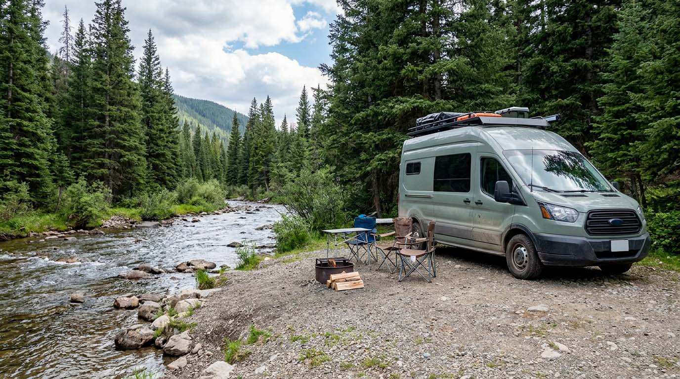
Electricity Consumption Calculator (Ah / Wh)
Calculate the electrical consumption of your devices in amp-hours and watt-hours.
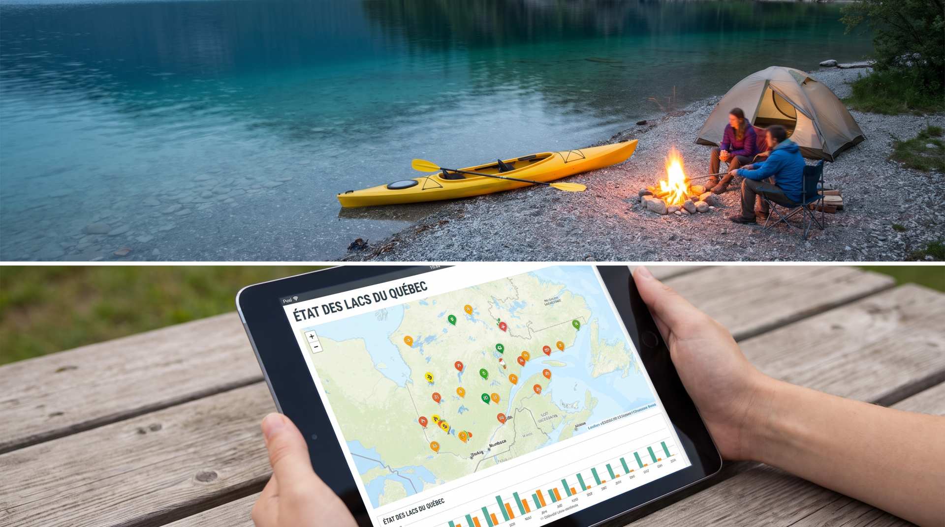
The state of Quebec's lakes: what the latest data says
Your swims and kayaking outings between two nights of camping deserve a healthy lake. Here’s what the latest data from the Government of Quebec reveals about the state of our lakes — and how to choose your next stop by the water.
Recreational Vehicle Battery Life Calculator
Estimate the autonomy of your RV battery bank based on your consumption.