

Home › Canada › Colombie-Britannique › Area C (Pemberton Valley/Mount Currie/D'Arcy) › 🏷️ Gratuit
Duffrey Lake -- Area C (Pemberton Valley/Mount Currie/D'Arcy), British Columbia
✍️ Suggested by Contributeur 123Go
Location Map
Description
Former logging site, large enough for several vehicles. View of the mountains, peaceful location.
🕐 Latest comments
Photo Gallery
🔒 Become a Contributor to see all photos and enjoy the site ad-free.
Become a Contributor
📍 Nearby Places
- Le chemin Duffey Lake, autoroute 🏷️ Gratuit — Lytton, Colombie-Britannique (5.7 km)
- Site des loisirs de Strawberry Point 🏷️ Camping sauvage — Area C (Pemberton Valley/Mount Currie/D'Arcy), Colombie-Britannique (9.7 km)
- Site de loisirs Twin One Creek 🏷️ Camping établi — Area C (Pemberton Valley/Mount Currie/D'Arcy), Colombie-Britannique (12.1 km)
- Près de la rivière derrière les arbres 🏷️ Gratuit — Area B (Cayoosh/Pavilion), Colombie-Britannique (12.3 km)
📖 Also Worth Reading
What Is Boondocking?
You've seen the word everywhere — on social media, in RV Facebook groups, on our own map — but you're not quite sure what it actually means?
Loading weight calculator (payload)
Calculate the available payload for your RV without exceeding its maximum weight.

Unit converter (length, weight, volume)
Quickly convert length, weight, and volume between imperial and metric.
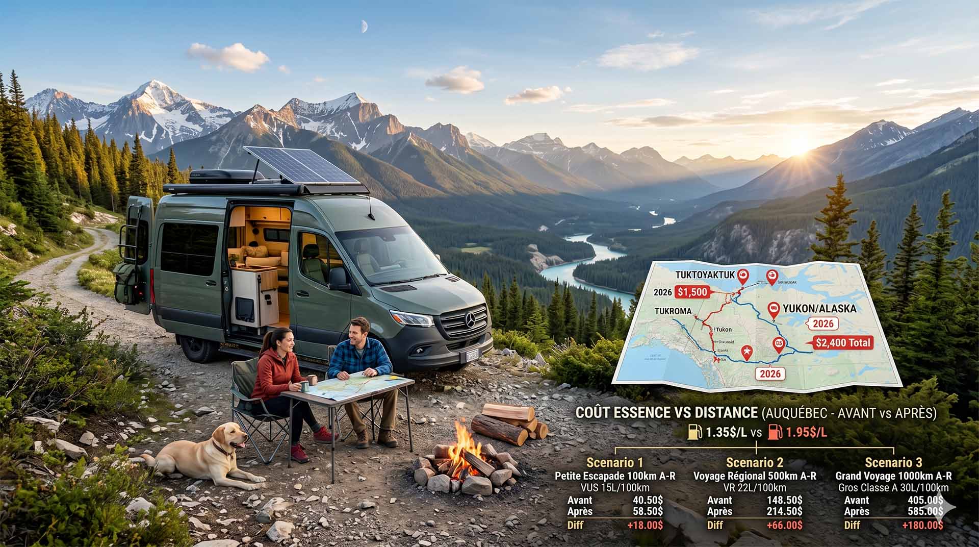
Price Increase: The Mathematical Strategy for Choosing Your Campsite Without Breaking the Bank
Cinq stratégies chiffrées pour choisir son camping intelligemment face à la hausse de l'essence : point de bascule essence/terrain, tactique du semi-servi, zones municipales gratuites et plus.