

Home › Canada › Colombie-Britannique › Area D (Kiskatinaw Valley) › 🏷️ Gratuit
Bulley Creek Road -- Area D (Kiskatinaw Valley), British Columbia
✍️ Suggested by Contributeur 123Go
Location Map
Description
Large clearing with a view of the mountains, stone fireplace. Accessible via the Murray River forest road.
🕐 Latest comments
🔒 Contributors can edit place listings (fix a detail, add a photo...). Subscribe to unlock "I've stopped here."
Photo Gallery
🔒 Become a Contributor to see all photos and enjoy the site ad-free.
Become a Contributor
📍 Nearby Places
- Ancienne fosse de gravier 🏷️ Gratuit — Tumbler Ridge, Colombie-Britannique (10.3 km)
- Camping au bord de la rivière 🏷️ Camping établi — Tumbler Ridge, Colombie-Britannique (26.1 km)
- Le front de rivière, route vers Kinuseo 🏷️ Gratuit — Tumbler Ridge, Colombie-Britannique (36.3 km)
- Le lac Bear Hole 🏷️ Gratuit — Area D (Kiskatinaw Valley), Colombie-Britannique (47.8 km)
📖 Also Worth Reading
Blog Article
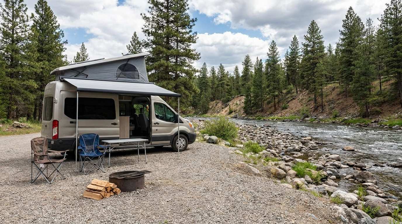
Discover free camping spots for recreational vehicles in Quebec, Canada, and the United States.
Discover the best free camping spots in Quebec, Canada, and the United States with our interactive map. Share and add your own boondocking locations!
Blog Article
Walking Time Calculator
Estimate hiking time based on distance, elevation gain, and your pace.
Blog Article
Brake Distance Checker According to Weight
Calculate your vehicle's braking distance based on weight and speed.
Blog Article
Gas cost calculator for a trip
Estimate the total fuel cost for your next trip based on distance and price.
⚠️ This listing is provided for informational purposes only. Before staying overnight, make sure you have the right to be there, always leave no trace (pick up your trash), respect wildlife, and follow local laws and regulations. If you believe this listing contains an error or would like to request its removal.
Is this place closed?
🚫 Report as closed
An error on this listing?
📝 Report a problem