

Home › Canada › Colombie-Britannique › Tumbler Ridge › 🏷️ Gratuit
Old gravel pit -- Area D (Kiskatinaw Valley), British Columbia
✍️ Suggested by Contributeur 123Go
Location Map
Description
Large open area at the exit of the provincial park, beautiful view of the mountains. Good option for solar energy.
🕐 Latest comments
Photo Gallery
🔒 Become a Contributor to see all photos and enjoy the site ad-free.
Become a Contributor
📍 Nearby Places
- Le chemin Bulley Creek 🏷️ Gratuit — Area D (Kiskatinaw Valley), Colombie-Britannique (10.3 km)
- Camping au bord de la rivière 🏷️ Camping établi — Tumbler Ridge, Colombie-Britannique (16.4 km)
- Le front de rivière, route vers Kinuseo 🏷️ Gratuit — Tumbler Ridge, Colombie-Britannique (29.3 km)
- Terrain de camping Lions Tumbler Ridge 🏷️ Camping établi — Tumbler Ridge, Colombie-Britannique (41.7 km)
📖 Also Worth Reading

Convert a distance between kilometers and miles
Convert a distance between kilometers and miles with one click.

Walking Time Calculator
Estimate hiking time based on distance, elevation gain, and your pace.

US to CAD Currency Converter: An Essential Tool
Discover how to use a US to CAD currency converter to facilitate your transactions and travels.
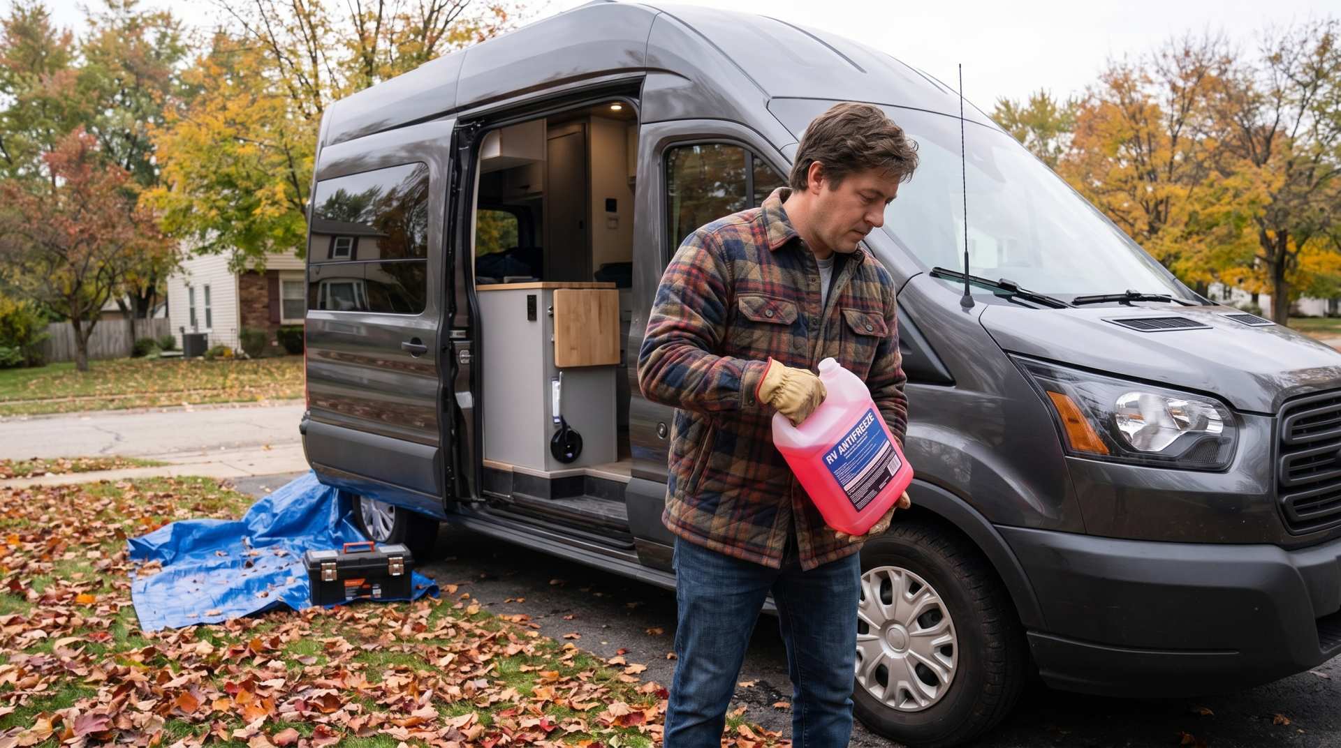
How to prepare your converted van for winter
There are no second chances when it comes to winter storage. A single night at −8 °C with a liter of water forgotten in a pipe elbow, and you’ll discover the damage in the spring — as soon as the pump turns on and sprays the inside of your RV.