

Home › Canada › Colombie-Britannique › Area D (Oyster Bay/Buttle Lake) › 🏷️ Gratuit
Jim Mitchell Lake -- Area D (Oyster Bay/Buttle Lake), British Columbia
✍️ Suggested by Contributeur 123Go
Location Map
Description
End of the road by a lake with several camping spots. Bumpy road, but accessible.
🕐 Latest comments
Photo Gallery
🔒 Become a Contributor to see all photos and enjoy the site ad-free.
Become a Contributor
📍 Nearby Places
- Le sentier Flower Ridge 🏷️ Gratuit — Area D (Oyster Bay/Buttle Lake), Colombie-Britannique (10.3 km)
- Terrain de camping Ralph River, Parc Provincial Strathcona 🏷️ Camping établi — Area D (Oyster Bay/Buttle Lake), Colombie-Britannique (13.6 km)
- Aire de repos de la rivière Taylor 🏷️ Aires De Repos — Area D (Sproat Lake), Colombie-Britannique (33.1 km)
- Ruisseau Sproat 🏷️ Camping sauvage — Area D (Sproat Lake), Colombie-Britannique (33.7 km)
📖 Also Worth Reading
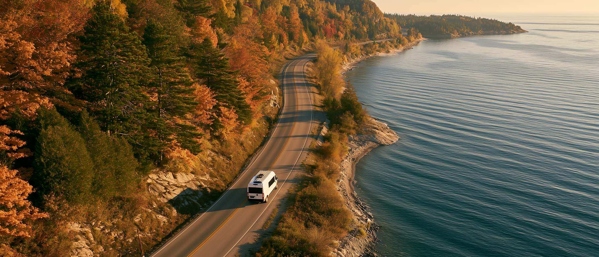
What to Do in Québec in October
October 2026 in Québec by RV: fall colours at their peak, Thanksgiving, off-season rates, and the last festivals before campgrounds close for the season.

What Is Boondocking?
You've seen the word everywhere — on social media, in RV Facebook groups, on our own map — but you're not quite sure what it actually means?

Tank capacity calculator for your RV
Learn how to assess the capacity of your water tanks for a successful RV trip.

The state of Quebec's lakes: what the latest data says
Your swims and kayaking outings between two nights of camping deserve a healthy lake. Here’s what the latest data from the Government of Quebec reveals about the state of our lakes — and how to choose your next stop by the water.