

Home › Canada › Colombie-Britannique › Holmwood › 🏷️ Gratuit
The forest road -- Area L (Grasslands), British Columbia
✍️ Suggested by Contributeur 123Go
Location Map
Description
High stop offering a beautiful view. The noise from the road is present but remains distant. Respect nature and leave the place clean.
🕐 Latest comments
Photo Gallery
🔒 Become a Contributor to see all photos and enjoy the site ad-free.
Become a Contributor
📍 Nearby Places
- Le point d'arrêt de la route Barnhartvale 🏷️ Gratuit — Monte Lake, Colombie-Britannique (1.1 km)
- Le chemin Robbins Range 🏷️ Gratuit — Holmwood, Colombie-Britannique (2.7 km)
- Camping et Aire de VR Heritage 🏷️ Camping établi — Monte Lake, Colombie-Britannique (8.5 km)
- Le stationnement de Lafarge ORV 🏷️ Gratuit — Area L (Grasslands), Colombie-Britannique (14.3 km)
📖 Also Worth Reading
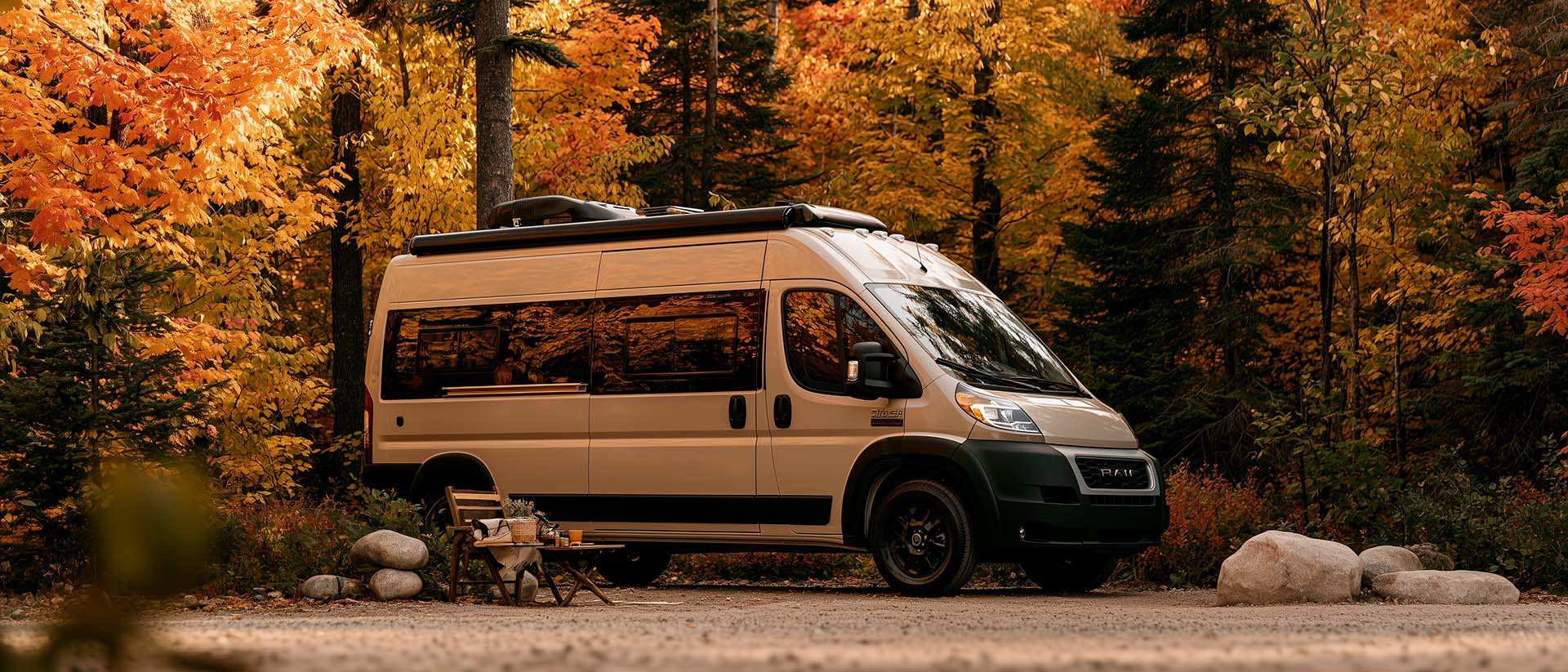
What Is Boondocking?
You've seen the word everywhere — on social media, in RV Facebook groups, on our own map — but you're not quite sure what it actually means?
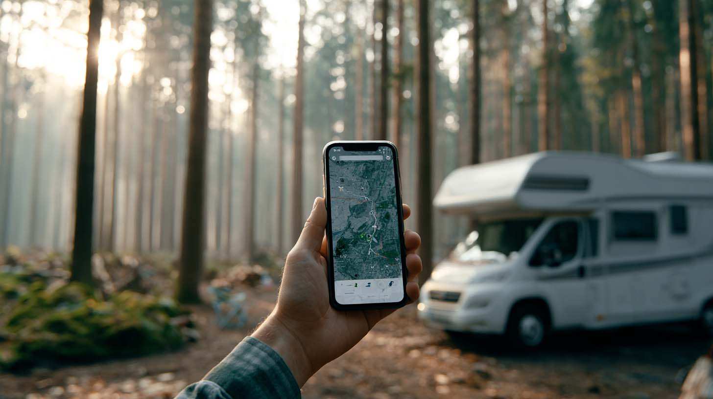
Convert a distance between kilometers and miles
Convert a distance between kilometers and miles with one click.
Walking Time Calculator
Estimate hiking time based on distance, elevation gain, and your pace.
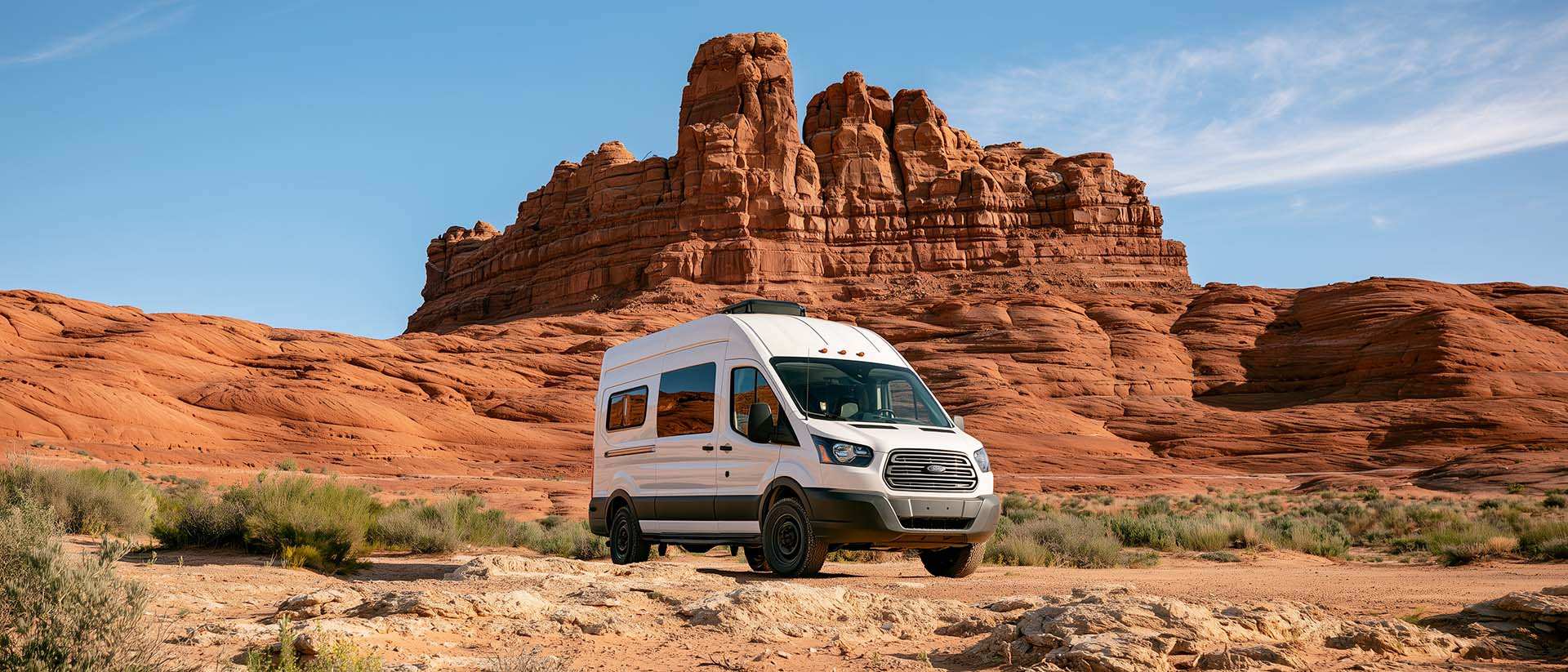
BLM Land in the U.S.: Free Camping, Length of Stay, and LTVAs
What is BLM land, how long can you camp there for free, and how do LTVAs work to stay longer? The full guide before heading out to winter in the American Southwest.