

Home › Canada › Colombie-Britannique › Stikine Region › 🏷️ Gratuit
By the lake -- Cassiar Highway;Hwy 37, British Columbia
✍️ Suggested by Contributeur 123Go
Location Map
Description
Small stop by the lake, narrow space for 2 vehicles. Noisy due to traffic. Nice view.
🕐 Latest comments
Photo Gallery
🔒 Become a Contributor to see all photos and enjoy the site ad-free.
Become a Contributor
📍 Nearby Places
- L'aire de repos frontalière 🏷️ Gratuit — Stikine Region, Colombie-Britannique (10.3 km)
- Jonction 37 🏷️ Gratuit — Cassiar Highway, Yukon (12.9 km)
- Le Lac Rantin sur l'ancienne route de l'Alaska 🏷️ Gratuit — Canada, Yukon (13.5 km)
- Rivage de la rivière Liard 🏷️ Gratuit — Upper Liard, Yukon (19.4 km)
📖 Also Worth Reading

Walking Time Calculator
Estimate hiking time based on distance, elevation gain, and your pace.
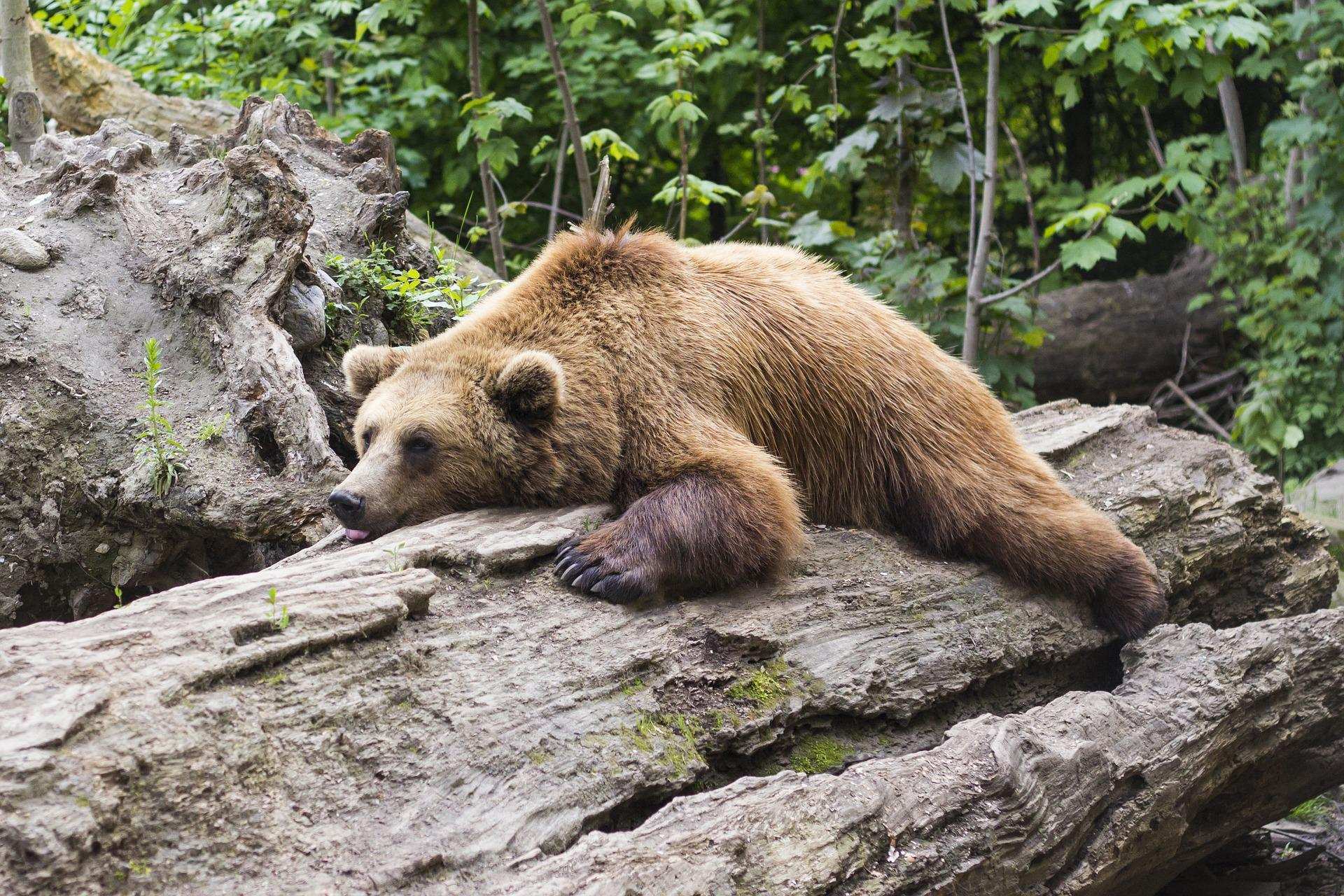
Learn how to properly use bear repellents.
How to choose and use bear spray correctly when camping in the backcountry.

Recreational Vehicle Battery Life Calculator
Estimate the autonomy of your RV battery bank based on your consumption.
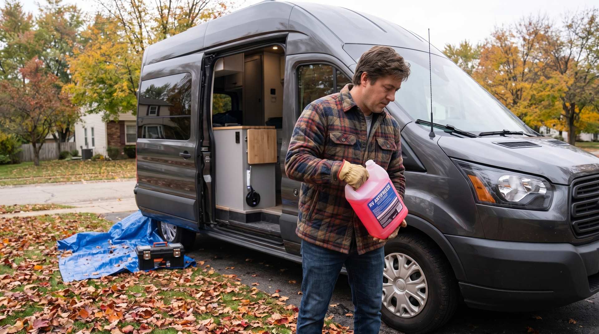
How to prepare your converted van for winter
There are no second chances when it comes to winter storage. A single night at −8 °C with a liter of water forgotten in a pipe elbow, and you’ll discover the damage in the spring — as soon as the pump turns on and sprays the inside of your RV.