

Home › Canada › Colombie-Britannique › Area A (Kicking Horse/Kinbasket Lake) › 🏷️ Gratuit
Beaverfoot Road Bridge -- Columbia-Shuswap A, British Columbia
✍️ Suggested by Contributeur 123Go
Location Map
Description
Location by the river, near a little-used forest road. It's a good free spot to explore Yoho National Park. In summer, there is room for 4 cars and a large truck. There are pit toilets and a few fire pits. On the other side of the river, there is more space, but it is occupied by a rafting company. It may be available in the future. In winter, there is room for 2 cars in a cleared area, but there are no toilets available.
🕐 Latest comments
Photo Gallery
🔒 Become a Contributor to see all photos and enjoy the site ad-free.
Become a Contributor
📍 Nearby Places
- Clairière près du chemin Kicking Horse 🏷️ Gratuit — Leanchoil, Colombie-Britannique (1.3 km)
- Le chemin Beaverfoot 🏷️ Gratuit — Leanchoil, Colombie-Britannique (1.9 km)
- Wapta Falls, Yoho National Park sur Beaverfoot Rd. 🏷️ Attrait touristique — Area A (Kicking Horse/Kinbasket Lake), Colombie-Britannique (7.3 km)
- En bord de route, chemin forestier Beaverfoot 🏷️ Gratuit — Area A (Kicking Horse/Kinbasket Lake), Colombie-Britannique (11.3 km)
📖 Also Worth Reading
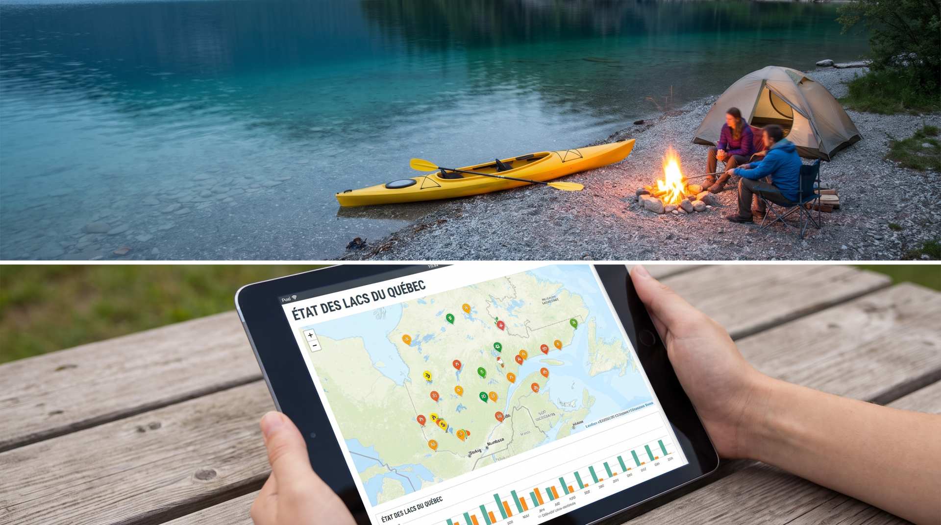
The state of Quebec's lakes: what the latest data says
Your swims and kayaking outings between two nights of camping deserve a healthy lake. Here’s what the latest data from the Government of Quebec reveals about the state of our lakes — and how to choose your next stop by the water.
Gas cost calculator for a trip
Estimate the total fuel cost for your next trip based on distance and price.
Recreational Vehicle Battery Life Calculator
Estimate the autonomy of your RV battery bank based on your consumption.
Electricity Consumption Calculator (Ah / Wh)
Calculate the electrical consumption of your devices in amp-hours and watt-hours.