

Home › Canada › Colombie-Britannique › Area D (Popkum/Bridal Falls/Wahleach) › 🏷️ Gratuit
The end of the mountain of Lake Jones -- Area D (Popkum/Bridal Falls/Wahleach), British Columbia
✍️ Suggested by Contributeur 123Go
Location Map
Description
Stop along a forest road offering an unobstructed view of Jones Lake and the surrounding mountains. Respect nature and leave no waste behind.
🕐 Latest comments
Photo Gallery
🔒 Become a Contributor to see all photos and enjoy the site ad-free.
Become a Contributor
📍 Nearby Places
- Le ruisseau et les chutes 🏷️ Gratuit — Area D (Popkum/Bridal Falls/Wahleach), Colombie-Britannique (5.9 km)
- Détente au bord du lac Jones : découvrez notre terrain de camping idyllique 🏷️ Camping établi — Area D (Popkum/Bridal Falls/Wahleach), Colombie-Britannique (7.2 km)
- Près du pont 🏷️ Gratuit — Area E (Chilliwack River Valley), Colombie-Britannique (7.6 km)
- Le chemin forestier Foley Creek 🏷️ Gratuit — Area E (Chilliwack River Valley), Colombie-Britannique (9.2 km)
📖 Also Worth Reading

Celsius / Fahrenheit Temperature Converter
Convert a temperature between Celsius and Fahrenheit with one click.

Brake Distance Checker According to Weight
Calculate your vehicle's braking distance based on weight and speed.

Gas cost calculator for a trip
Estimate the total fuel cost for your next trip based on distance and price.
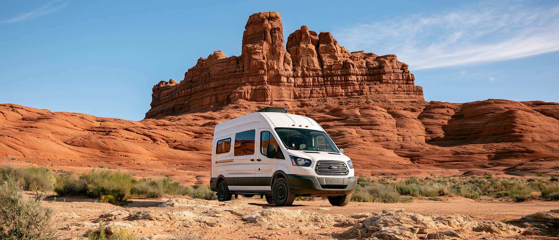
BLM Land in the U.S.: Free Camping, Length of Stay, and LTVAs
What is BLM land, how long can you camp there for free, and how do LTVAs work to stay longer? The full guide before heading out to winter in the American Southwest.