

Home › Canada › Colombie-Britannique › Area E (Chilliwack River Valley) › 🏷️ Gratuit
Near the bridge -- Fraser Valley Regional District, British Columbia
✍️ Suggested by Contributeur 123Go
Location Map
Description
Location near a stream, ideal for those looking to get closer to nature. Make sure to respect the area and leave no trace behind.
🕐 Latest comments
Photo Gallery
🔒 Become a Contributor to see all photos and enjoy the site ad-free.
Become a Contributor
📍 Nearby Places
- Le chemin forestier Foley Creek 🏷️ Gratuit — Area E (Chilliwack River Valley), Colombie-Britannique (2.9 km)
- Le bout de la montagne du lac Jones 🏷️ Gratuit — Area D (Popkum/Bridal Falls/Wahleach), Colombie-Britannique (7.6 km)
- Station de vidange – BC Parks (Area E (Chilliwack River Valley)) 🏷️ Station de vidange sanitaire — Area E (Chilliwack River Valley), Colombie-Britannique (11.4 km)
- Le ruisseau et les chutes 🏷️ Gratuit — Area D (Popkum/Bridal Falls/Wahleach), Colombie-Britannique (13.1 km)
📖 Also Worth Reading

Walking Time Calculator
Estimate hiking time based on distance, elevation gain, and your pace.
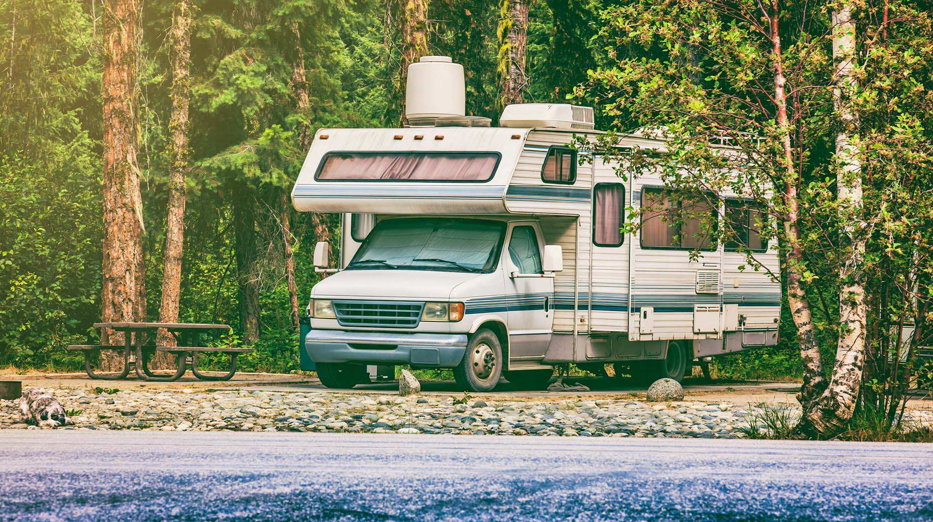
Loading weight calculator (payload)
Calculate the available payload for your RV without exceeding its maximum weight.
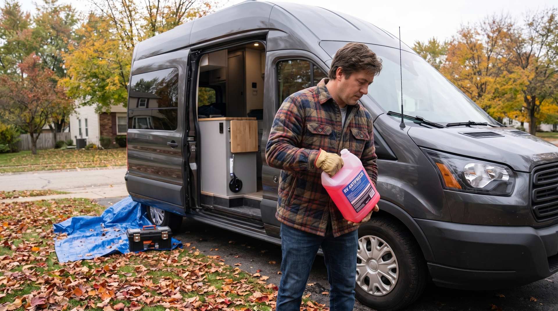
How to prepare your converted van for winter
There are no second chances when it comes to winter storage. A single night at −8 °C with a liter of water forgotten in a pipe elbow, and you’ll discover the damage in the spring — as soon as the pump turns on and sprays the inside of your RV.
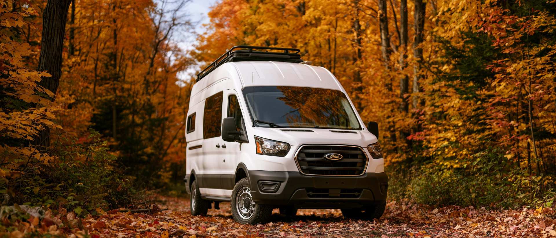
Boondocking: Enjoy the Freedom, Respect the Rules
The basics of ethical, responsible camping -- how to travel while leaving no trace.