

Home › Canada › Colombie-Britannique › Northern Rockies Regional Municipality › 🏷️ Gratuit
McDonald Creek -- Northern Rockies Regional Municipality, British Columbia
Location Map
Description
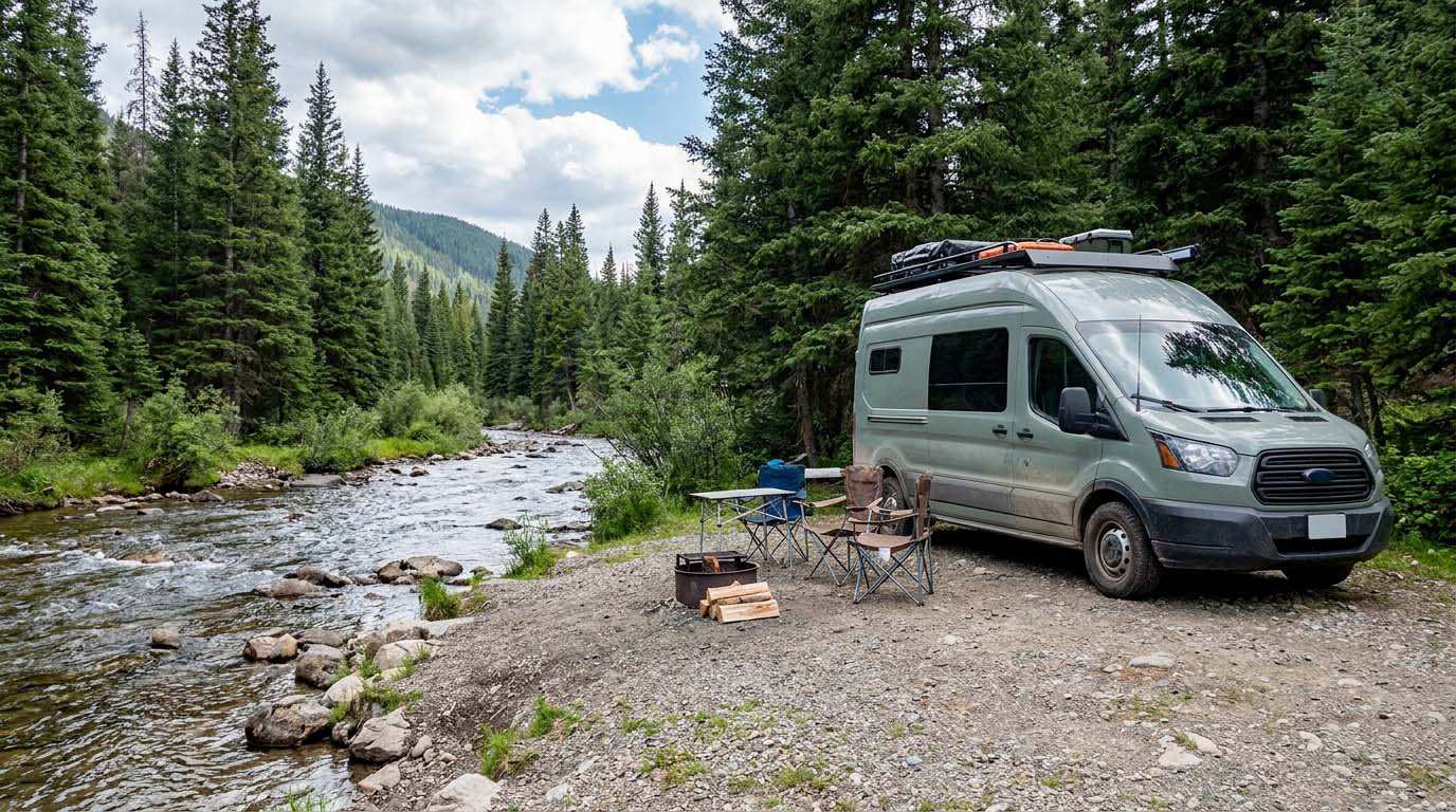
It is a beautiful spot located along MacDonald Creek with stunning views of the surrounding mountains. There is little shade, some biting insects, and no noise except for the sound of the rushing water. However, you must cross the creek to get there, but it is important to note that the river can quickly swell, and there are warning signs indicating that you could get stuck for days after sudden river floods. Once on the other side, there are several places along the river to set up camp. Another option is to follow Churchill Mine Road for 20 km to start a hike to the Hoodoos in the Wokkpash Valley. There are also a few sites available before crossing the creek.
🕐 Latest comments
Photo Gallery
🔒 Become a Contributor to see all photos and enjoy the site ad-free.
Become a Contributor
📍 Nearby Places
- Près du parc North Rockies 🏷️ Camping sauvage — Northern Rockies Regional Municipality, Colombie-Britannique (0.5 km)
- Summit Lake Campground - Stone Mountain Provincial Park 🏷️ Camping établi — Northern Rockies Regional Municipality, Colombie-Britannique (14.5 km)
- Toad River Lodge 🏷️ Camping établi — Toad River, Colombie-Britannique (26.1 km)
- Rivière Crapaud 🏷️ Gratuit — Northern Rockies Regional Municipality, Colombie-Britannique (33.0 km)
📖 Also Worth Reading
Electricity Consumption Calculator (Ah / Wh)
Calculate the electrical consumption of your devices in amp-hours and watt-hours.
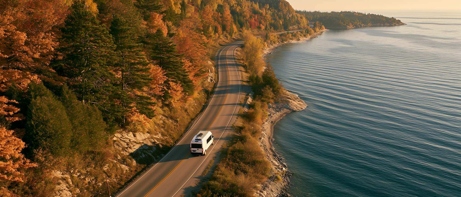
What to Do in Québec in October
October 2026 in Québec by RV: fall colours at their peak, Thanksgiving, off-season rates, and the last festivals before campgrounds close for the season.

Fuel consumption calculator
Estimate your RV's fuel consumption based on distance and price per liter.
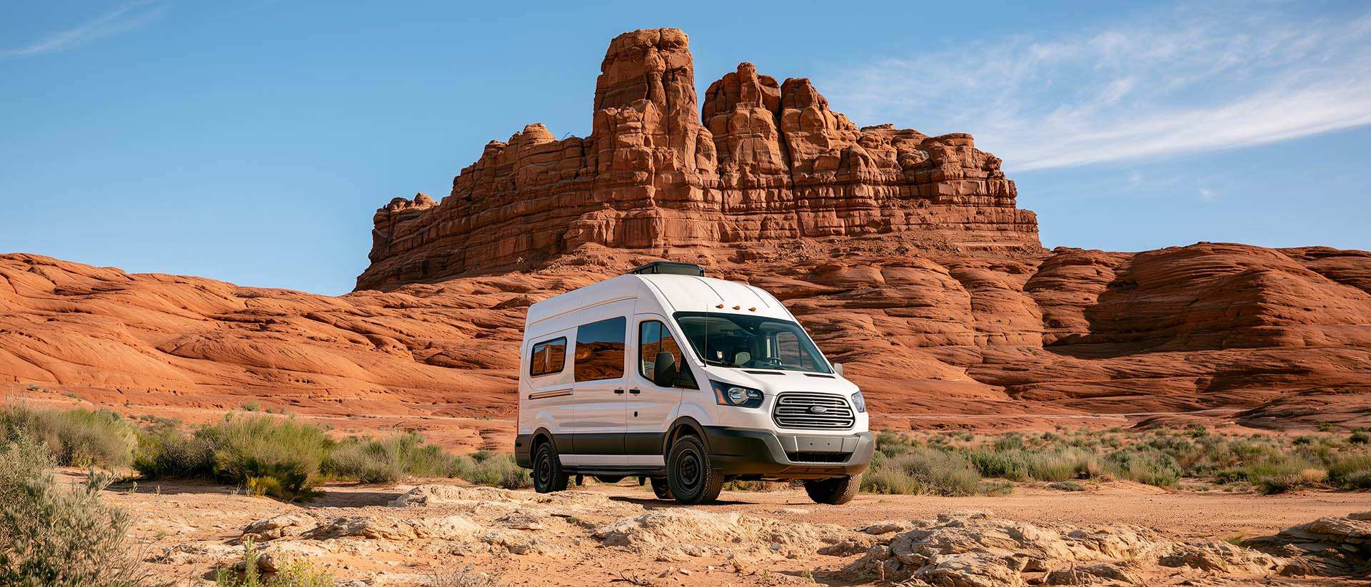
BLM Land in the U.S.: Free Camping, Length of Stay, and LTVAs
What is BLM land, how long can you camp there for free, and how do LTVAs work to stay longer? The full guide before heading out to winter in the American Southwest.