

Home › Canada › Colombie-Britannique › Area A (Nass Valley/Bell Irving) › 🏷️ Gratuit
The clearing in the woods (HWY37, N, right side) -- Regional District of Kitimat-Stikine, British Columbia
✍️ Suggested by Contributeur 123Go
Location Map
Description
Clearing located 200 m from HWY37, on the right side. Ideal for a quick stop. Respect nature and do not leave any waste behind.
🕐 Latest comments
Photo Gallery
🔒 Become a Contributor to see all photos and enjoy the site ad-free.
Become a Contributor
📍 Nearby Places
- Grande fosse avec beaucoup d'espace 🏷️ Gratuit — Area A (Nass Valley/Bell Irving), Colombie-Britannique (1.4 km)
- L'autoroute Stewart-Cassiar 🏷️ Gratuit — Area A (Nass Valley/Bell Irving), Colombie-Britannique (1.6 km)
- Dans les bois 🏷️ Gratuit — Area A (Nass Valley/Bell Irving), Colombie-Britannique (2.4 km)
- Le ruisseau North Hannah, autoroute Cassiar 🏷️ Gratuit — Meziadin Junction, Colombie-Britannique (19.3 km)
📖 Also Worth Reading
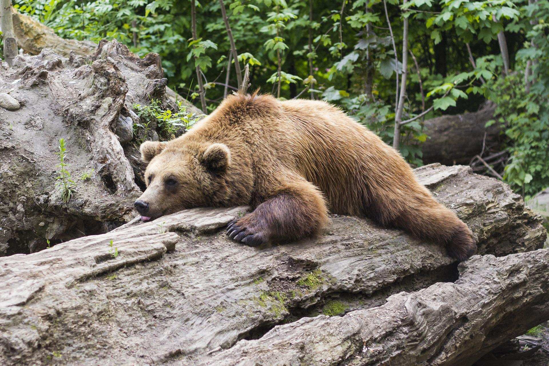
Learn how to properly use bear repellents.
How to choose and use bear spray correctly when camping in the backcountry.
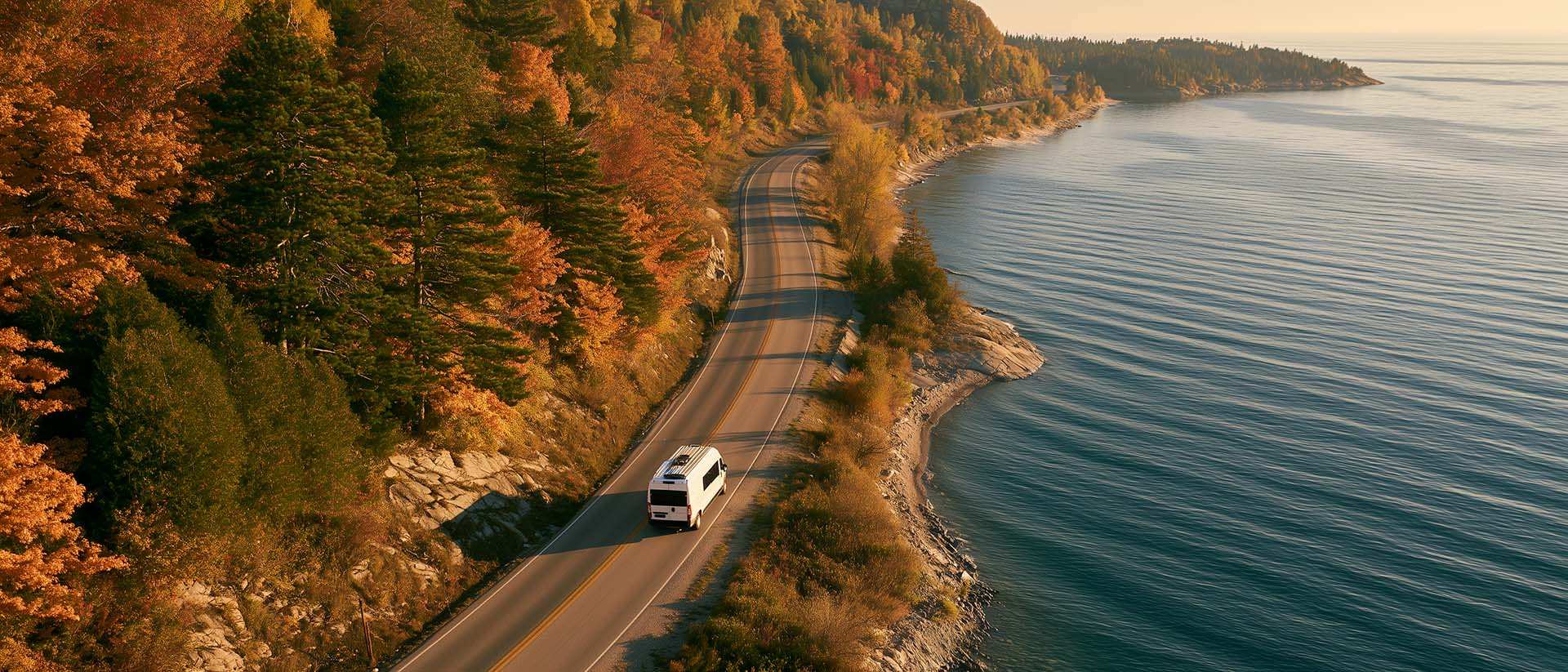
What to Do in Québec in October
October 2026 in Québec by RV: fall colours at their peak, Thanksgiving, off-season rates, and the last festivals before campgrounds close for the season.
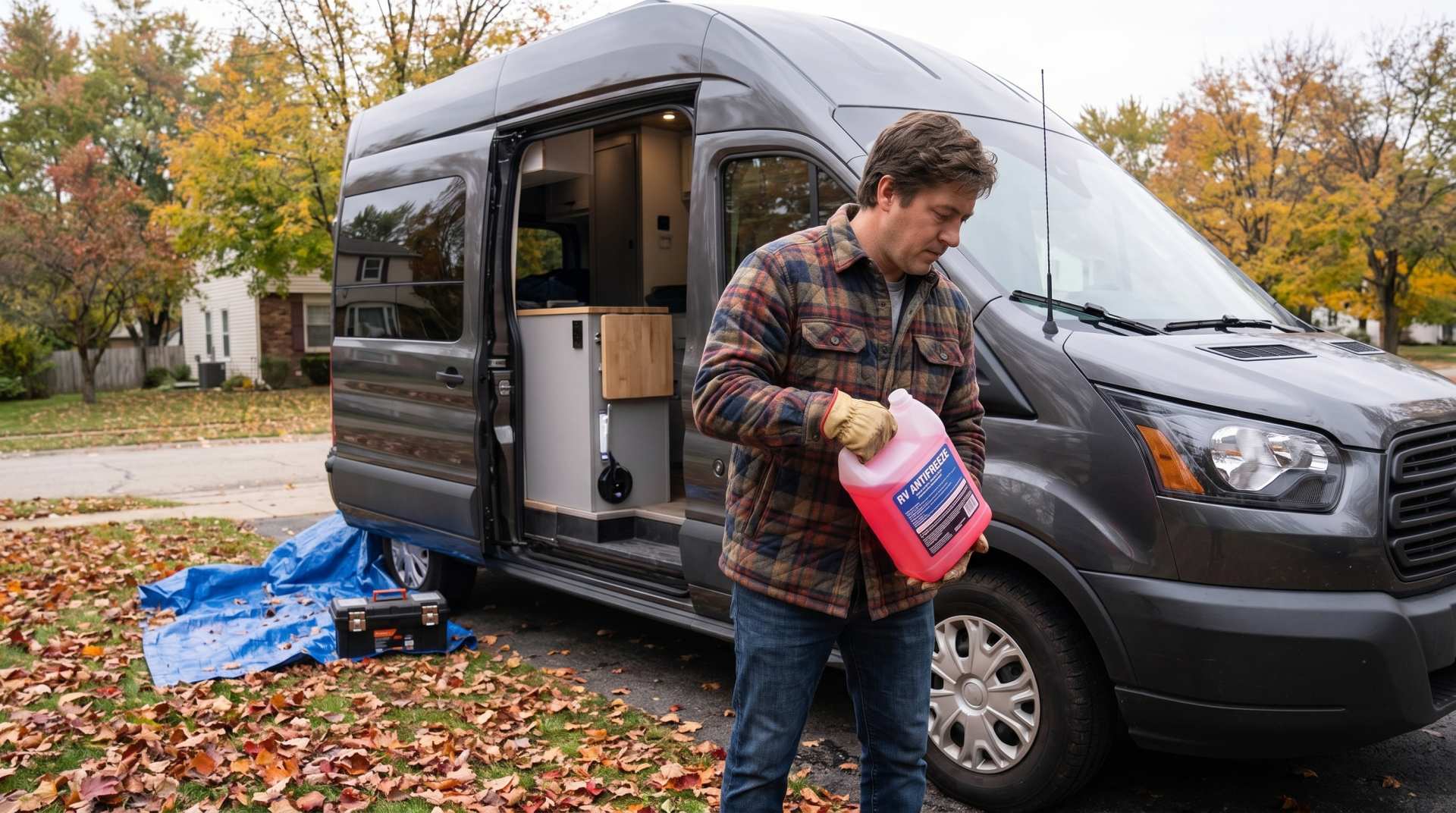
How to prepare your converted van for winter
There are no second chances when it comes to winter storage. A single night at −8 °C with a liter of water forgotten in a pipe elbow, and you’ll discover the damage in the spring — as soon as the pump turns on and sprays the inside of your RV.

Convert a distance between kilometers and miles
Convert a distance between kilometers and miles with one click.