

Home › Canada › Colombie-Britannique › Area E (Bonaparte Plateau) › 🏷️ Gratuit
The Scottie Creek Trail -- Thompson-Nicola Regional District, British Columbia
✍️ Suggested by Contributeur 123Go
Location Map
Description
Spacious location located about 4 km from the highway. Respect nature and keep the place clean by taking your trash with you.
🕐 Latest comments
Photo Gallery
🔒 Become a Contributor to see all photos and enjoy the site ad-free.
Become a Contributor
📍 Nearby Places
- Le ruisseau Scottie 🏷️ Gratuit — Area E (Bonaparte Plateau), Colombie-Britannique (0.8 km)
- La prairie de Scottie Creek 🏷️ Gratuit — Area E (Bonaparte Plateau), Colombie-Britannique (2.5 km)
- Le chemin forestier 🏷️ Gratuit — Area I (Blue Sky Country), Colombie-Britannique (10.0 km)
- Le point d'arrêt du lac Six Mile, autoroute 🏷️ Gratuit — Clinton, Colombie-Britannique (10.8 km)
📖 Also Worth Reading
Brake Distance Checker According to Weight
Calculate your vehicle's braking distance based on weight and speed.
Celsius / Fahrenheit Temperature Converter
Convert a temperature between Celsius and Fahrenheit with one click.
Tank capacity calculator for your RV
Learn how to assess the capacity of your water tanks for a successful RV trip.
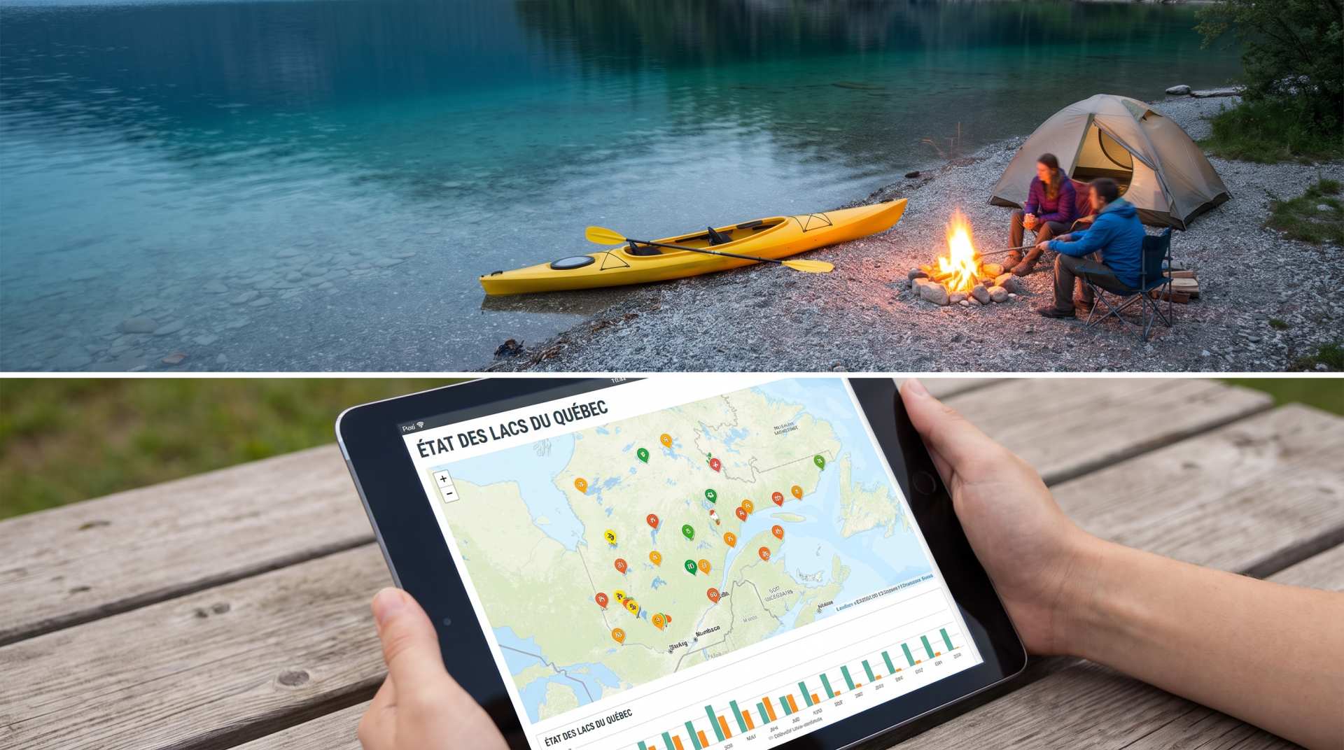
The state of Quebec's lakes: what the latest data says
Your swims and kayaking outings between two nights of camping deserve a healthy lake. Here’s what the latest data from the Government of Quebec reveals about the state of our lakes — and how to choose your next stop by the water.