

Home › Canada › Ontario › Est de l'Ontario › Greater Madawaska › 🏷️ Aires De Repos
Rest Area Meilleurs Bay
✍️ Suggested by Contributeur 123Go
Location Map
Description
Official rest stop (picnic area) designated by the Ontario Ministry of Transportation, along Highway 41, near Griffith. Exact facilities (toilets, picnic tables) not detailed by the official source — check on site.
🕐 Latest comments
Photo Gallery
🔒 Become a Contributor to see all photos and enjoy the site ad-free.
Become a Contributor
📍 Nearby Places
- Le départ du sentier Griffith Uplands 🏷️ Gratuit — Greater Madawaska, Ontario (1.9 km)
- Baie Aumonds - Quadeville, ON 🏷️ Gratuit — Brudenell, Lyndoch and Raglan, Ontario (16.0 km)
- Le Stationnement de l'Étang Bear 🏷️ Gratuit — Addington Highlands, Ontario (27.3 km)
- Le Ferguson Farm Campground 🏷️ Camping établi — Greater Madawaska, Ontario (27.9 km)
📖 Also Worth Reading
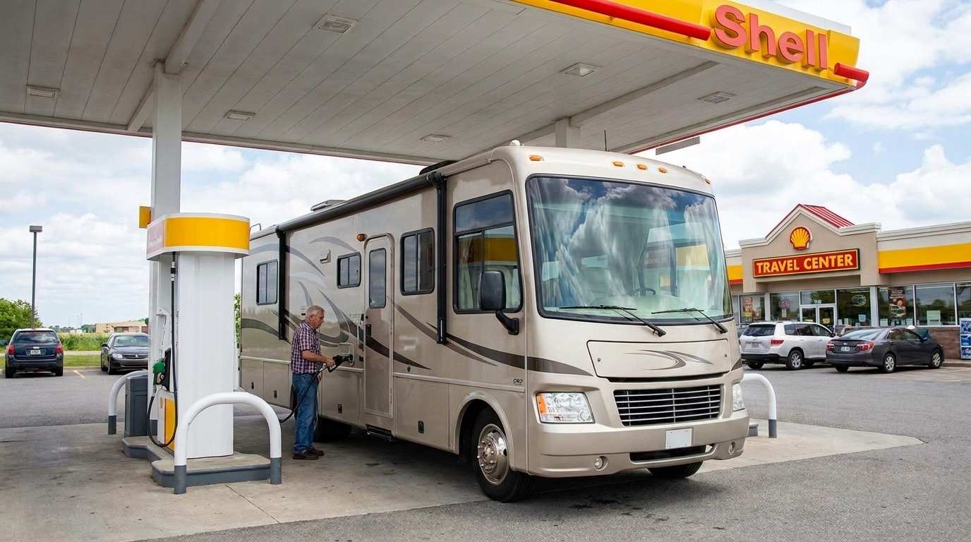
Fuel consumption calculator
Estimate your RV's fuel consumption based on distance and price per liter.
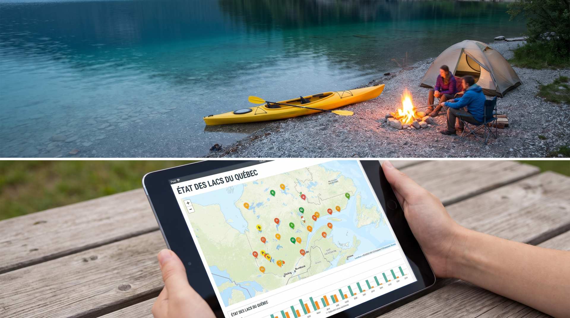
The state of Quebec's lakes: what the latest data says
Your swims and kayaking outings between two nights of camping deserve a healthy lake. Here’s what the latest data from the Government of Quebec reveals about the state of our lakes — and how to choose your next stop by the water.

Unit converter (length, weight, volume)
Quickly convert length, weight, and volume between imperial and metric.
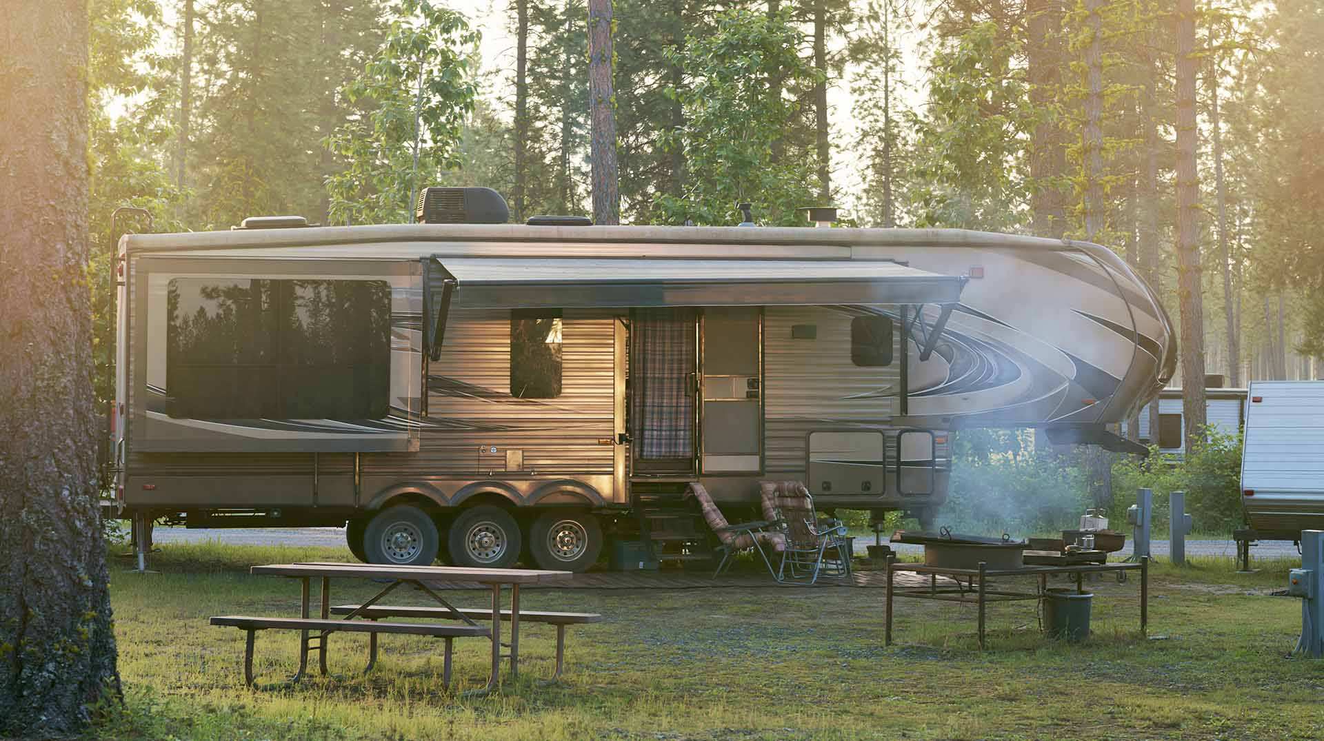
Calculateur d'autonomie selon la vitesse et le réservoir et la consommation
Estimate how far you can travel based on tank size and fuel consumption.