

Home › Canada › Québec › Nord-du-Québec › Eeyou Istchee Baie-James › 🏷️ Aires De Repos
Cascades Rest Area of the Rupert River, km 257
✍️ Suggested by Contributeur 123Go
Location Map
Description
Official rest area of the Ministry of Transport and Sustainable Mobility of Quebec, on Route de la Baie-James, in the Eeyou Istchee Baie-James Regional Government. On Route de la Baie-James, heading towards Baie-James, 225 m to the right before the Rupert River bridge. Facilities: restrooms, picnic tables. Seasonal stop (closed in winter).
🕐 Latest comments
Photo Gallery
🔒 Become a Contributor to see all photos and enjoy the site ad-free.
Become a Contributor
📍 Nearby Places
- Terrain de camping de la rivière Ruppert site 2 de 4 🏷️ Camping sauvage — , Québec (3.1 km)
- Halte de la route de Waskaganish, km 237 🏷️ Aires De Repos — Eeyou Istchee Baie-James, Québec (14.5 km)
- Halte des Passages, km 274 🏷️ Aires De Repos — Jamésie, Québec (14.7 km)
- Halte de la rivière Broadback 🏷️ Aires De Repos — , Québec (18.7 km)
📖 Also Worth Reading
Gas cost calculator for a trip
Estimate the total fuel cost for your next trip based on distance and price.
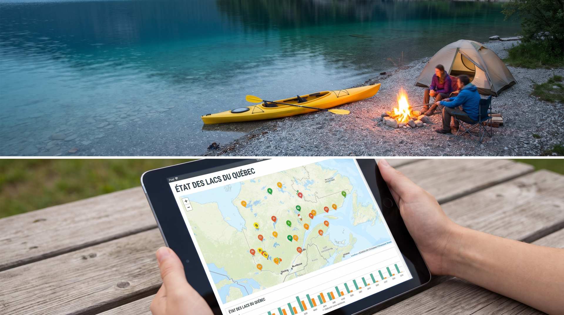
The state of Quebec's lakes: what the latest data says
Your swims and kayaking outings between two nights of camping deserve a healthy lake. Here’s what the latest data from the Government of Quebec reveals about the state of our lakes — and how to choose your next stop by the water.
Convert a distance between kilometers and miles
Convert a distance between kilometers and miles with one click.
Fuel consumption calculator
Estimate your RV's fuel consumption based on distance and price per liter.