

Home › Canada › Québec › Chaudière-Appalaches › Saint-Marcel › 🏷️ Aires De Repos
Halte of Saint-Marcel
✍️ Suggested by 123Go.Quebec
Location Map
Description
Official rest area of the Ministry of Transport and Sustainable Mobility of Quebec, on Chemin du Lac-Fontaine-Claire, in Saint-Marcel. On Chemin du Lac-Fontaine-Claire, 380 m west of the intersection of Route 285 North and Chemin du Lac-Fontaine-Claire. Facilities: restrooms, picnic tables. Seasonal stop (closed in winter).
🕐 Latest comments
Photo Gallery
🔒 Become a Contributor to see all photos and enjoy the site ad-free.
Become a Contributor
📍 Nearby Places
- Centre plein air Sainte-Apolline 🏷️ Camping établi — Sainte-Apolline-de-Patton, Québec (19.4 km)
- Bureau d'information touristique de Sainte-Lucie-de-Beauregard 🏷️ Information Touristique — Sainte-Lucie-de-Beauregard, Québec (20.7 km)
- Champ forestier 🏷️ Gratuit — L'Islet, Québec (22.6 km)
- Camping Municipal Lac-Frontière 🏷️ Camping établi — Lac-Frontière, Québec (25.0 km)
📖 Also Worth Reading
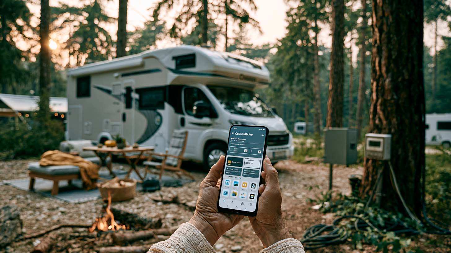
Gas Price Converter Canada USA
Compare gas prices between Canada and the U.S., liters and gallons included.

The state of Quebec's lakes: what the latest data says
Your swims and kayaking outings between two nights of camping deserve a healthy lake. Here’s what the latest data from the Government of Quebec reveals about the state of our lakes — and how to choose your next stop by the water.

Gas cost calculator for a trip
Estimate the total fuel cost for your next trip based on distance and price.
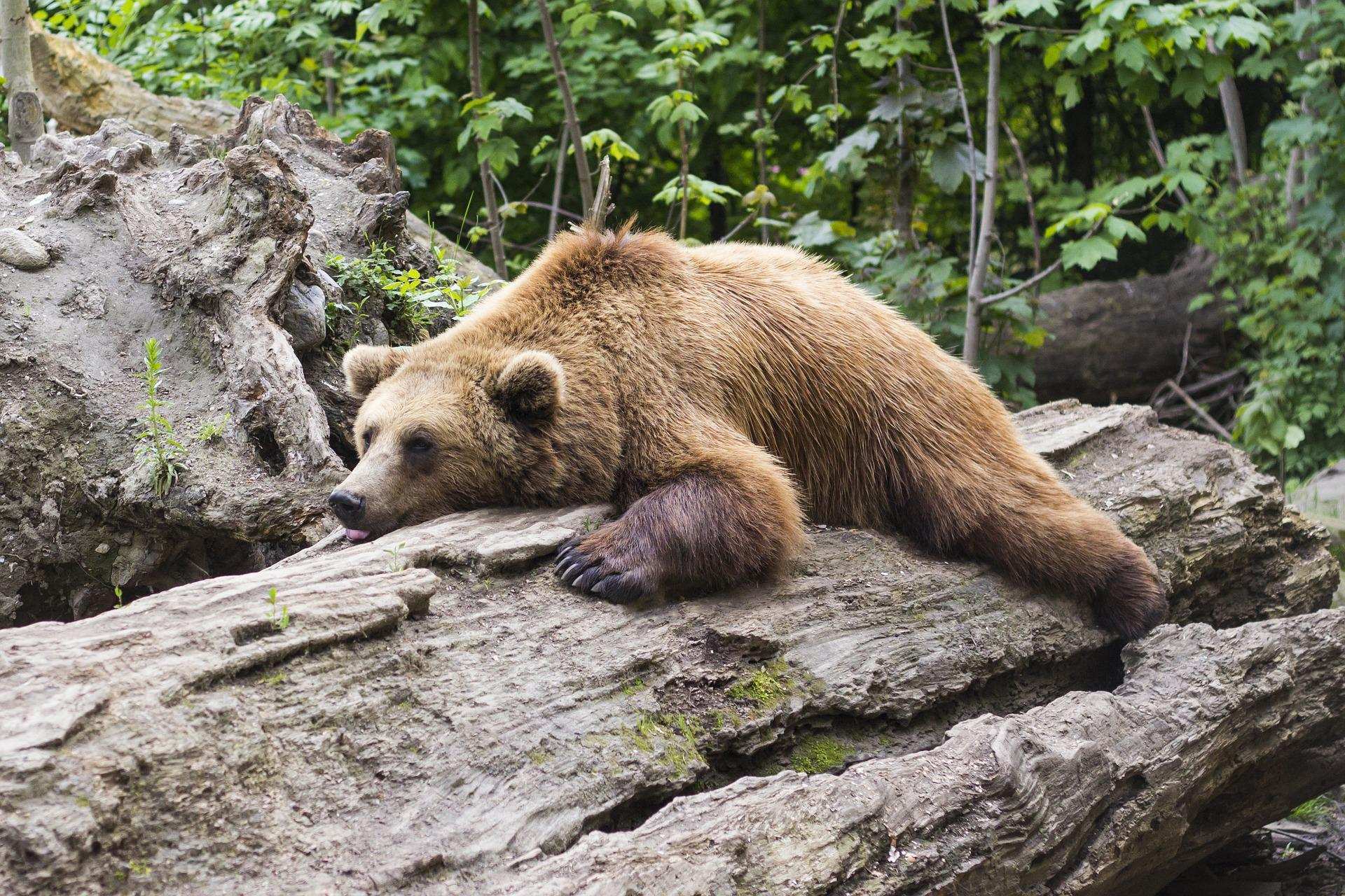
Learn how to properly use bear repellents.
How to choose and use bear spray correctly when camping in the backcountry.