

Home › Canada › Québec › Côte-Nord › Tadoussac › 🏷️ Camping établi
Tadoussac Municipal Campground -- Tadoussac, Quebec
✍️ Suggested by Contributeur 123Go
Amenities
Location Map
Description
The Tadoussac Municipal Campground is located on the North Shore of Quebec, near the ferry that connects Baie-Sainte-Catherine and Tadoussac. It offers 198 sites, surrounded by natural woods, providing a degree of privacy. You can enjoy views of the mouth of the Saguenay Fjord and the river. The campground has various services and activities. Address: 428, rue du Bateau Passeur (route 138), Tadoussac, G0T 2A0. Always respect the places and nature, and make sure to leave no trace behind.
🕐 Latest comments
Photo Gallery
🔒 Become a Contributor to see all photos and enjoy the site ad-free.
Become a Contributor
📍 Nearby Places
- Bureau d'information touristique Maison du Tourisme de Tadoussac 🏷️ Information Touristique — Tadoussac, Québec (0.8 km)
- Parc marin du Saguenay–Saint-Laurent 🏷️ Attrait touristique — Tadoussac, Québec (0.8 km)
- Stationnement de la Sépaq de Tadoussac 🏷️ Stationnement à court terme — Tadoussac, Québec (1.2 km)
- Tadoussac, belvédères sur dunes - Attraction touristique 🏷️ Attrait touristique — Tadoussac, Québec (3.4 km)
📖 Also Worth Reading
Calculateur d'autonomie selon la vitesse et le réservoir et la consommation
Estimate how far you can travel based on tank size and fuel consumption.
US to CAD Currency Converter: An Essential Tool
Discover how to use a US to CAD currency converter to facilitate your transactions and travels.

Walking Time Calculator
Estimate hiking time based on distance, elevation gain, and your pace.
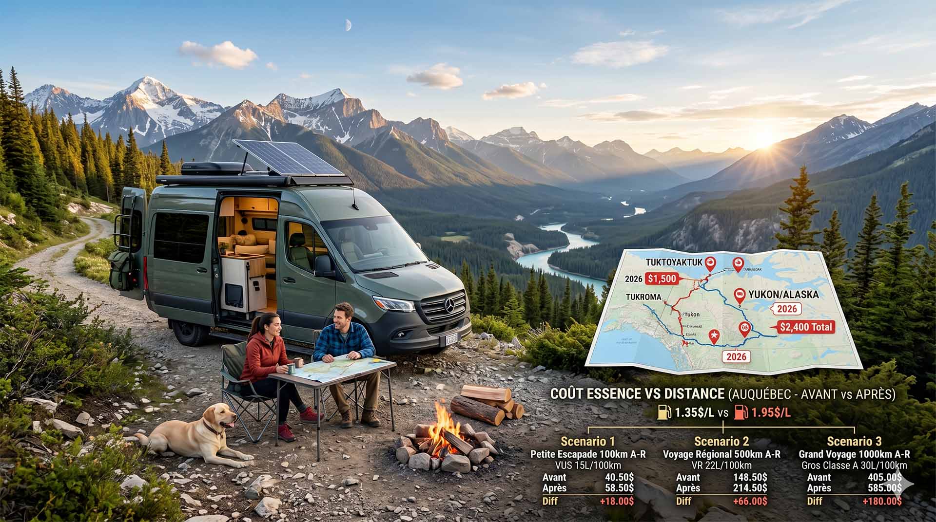
Price Increase: The Mathematical Strategy for Choosing Your Campsite Without Breaking the Bank
Cinq stratégies chiffrées pour choisir son camping intelligemment face à la hausse de l'essence : point de bascule essence/terrain, tactique du semi-servi, zones municipales gratuites et plus.