

Home › Canada › Terre-Neuve-et-Labrador › Burnt Islands › 🏷️ Gratuit
The starting point of the Barachois Falls trail -- Route 470, Newfoundland and Labrador
✍️ Suggested by Contributeur 123Go
Location Map
Description
The trailhead of the Barachois Falls offers a flat and quiet parking area, perfect for starting your hike. Respect the places and nature by leaving nothing behind.
🕐 Latest comments
Photo Gallery
🔒 Become a Contributor to see all photos and enjoy the site ad-free.
Become a Contributor
📍 Nearby Places
- Rose Blanc Lighthouse 🏷️ Attrait touristique — Rose Blanche-Harbour le Cou, Terre-Neuve-et-Labrador (6.2 km)
- Sentier Harvey 🏷️ Gratuit — Isle aux Morts, Terre-Neuve-et-Labrador (14.8 km)
- Eau Potable à Isle aux Morts 🏷️ Eau Potable — Isle aux Morts, Terre-Neuve-et-Labrador (15.3 km)
- Le point de vue de la vallée 🏷️ Gratuit — Channel-Port aux Basques, Terre-Neuve-et-Labrador (19.7 km)
📖 Also Worth Reading
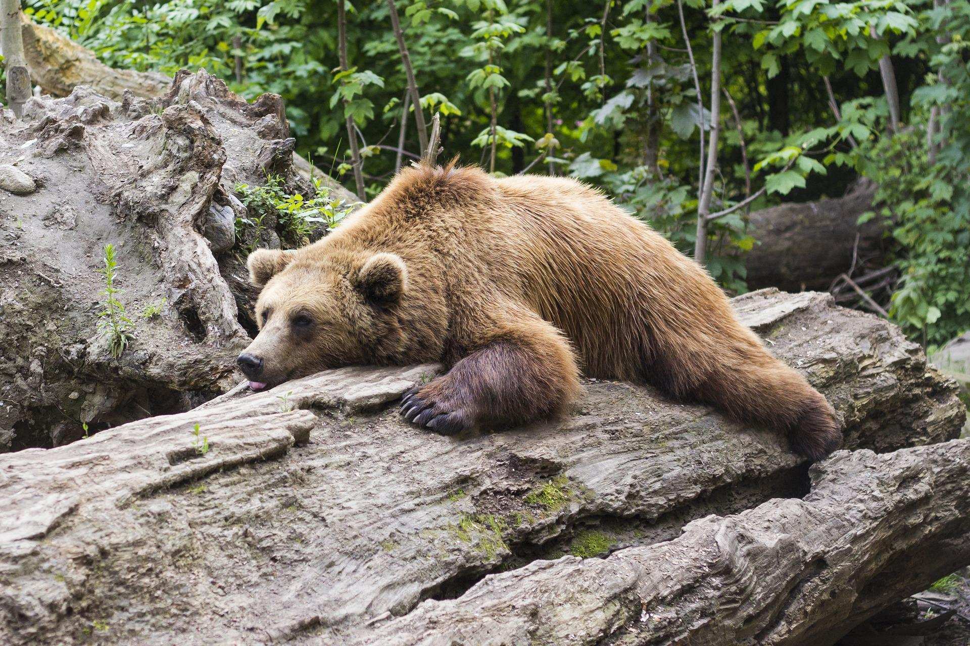
Learn how to properly use bear repellents.
How to choose and use bear spray correctly when camping in the backcountry.
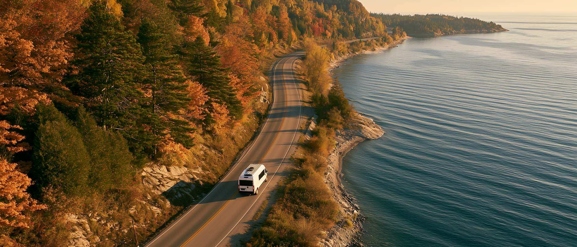
What to Do in Québec in October
October 2026 in Québec by RV: fall colours at their peak, Thanksgiving, off-season rates, and the last festivals before campgrounds close for the season.

Celsius / Fahrenheit Temperature Converter
Convert a temperature between Celsius and Fahrenheit with one click.

Brake Distance Checker According to Weight
Calculate your vehicle's braking distance based on weight and speed.