

Home › États-Unis › Alaska › Paxson › 🏷️ Gratuit
On the edge of Denali Hwy with a view and fishing -- Copper River, Alaska
✍️ Suggested by Contributeur 123Go
Amenities
Location Map
Description
Camping options on top of the hill or down below. Lake view, space for multiple campers. Difficult access for large vehicles. Denali Highway, Paxson, Copper River, Alaska, United States (Altitude: 1007 m; Spring water, potability not confirmed)
🕐 Latest comments
Photo Gallery
🔒 Become a Contributor to see all photos and enjoy the site ad-free.
Become a Contributor
📍 Nearby Places
- Le lac au mile 7 🏷️ Gratuit — Unorganized Borough, Alaska (5.6 km)
- La route Denali Highway 🏷️ Gratuit — Paxson, Alaska (7.7 km)
- Point de départ du sentier Swede Lake 🏷️ Gratuit — Unorganized Borough, Alaska (9.1 km)
- Carrière de gravier 🏷️ Gratuit — Paxson, Alaska (11.2 km)
📖 Also Worth Reading
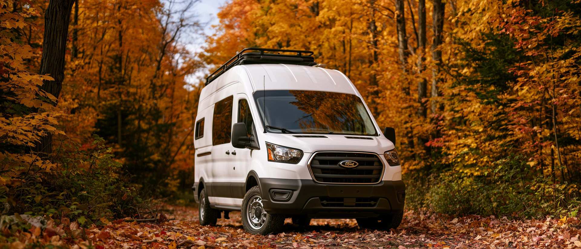
Boondocking: Enjoy the Freedom, Respect the Rules
The basics of ethical, responsible camping -- how to travel while leaving no trace.
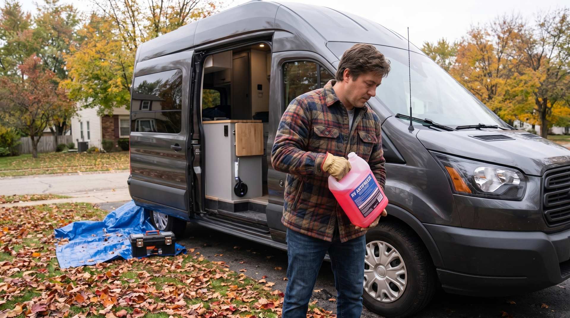
How to prepare your converted van for winter
There are no second chances when it comes to winter storage. A single night at −8 °C with a liter of water forgotten in a pipe elbow, and you’ll discover the damage in the spring — as soon as the pump turns on and sprays the inside of your RV.
Walking Time Calculator
Estimate hiking time based on distance, elevation gain, and your pace.
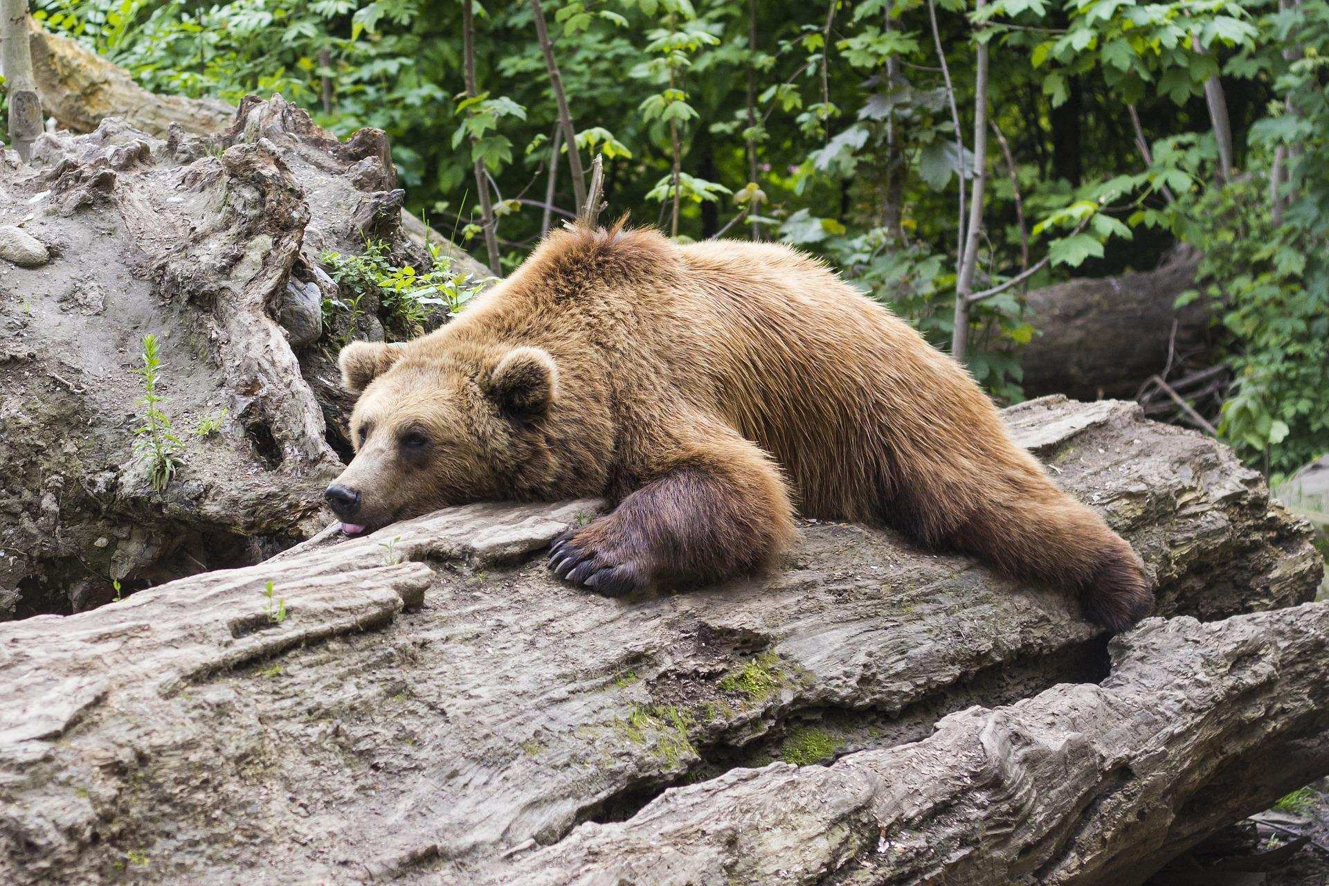
Learn how to properly use bear repellents.
How to choose and use bear spray correctly when camping in the backcountry.