

Home › États-Unis › Colorado › Bayfield › 🏷️ Gratuit
End of the road (2-wheel drive)
✍️ Suggested by A-i
Location Map
Description
Wide flat turn, accessible to all vehicles, difficult road beyond this point. (Altitude: 2660 m)
🕐 Latest comments
Photo Gallery
🔒 Become a Contributor to see all photos and enjoy the site ad-free.
Become a Contributor
📍 Nearby Places
- Grand arrêt 🏷️ Gratuit — Bayfield, Colorado (1.5 km)
- Site dispersé juste à côté de la route FR 528 🏷️ Gratuit — Bayfield, Colorado (12.5 km)
- Le grand cercle 🏷️ Gratuit — Bayfield, Colorado (13.6 km)
- Turkey Springs Dispersed Camping 🏷️ Gratuit — Archuleta, Colorado (21.7 km)
📖 Also Worth Reading
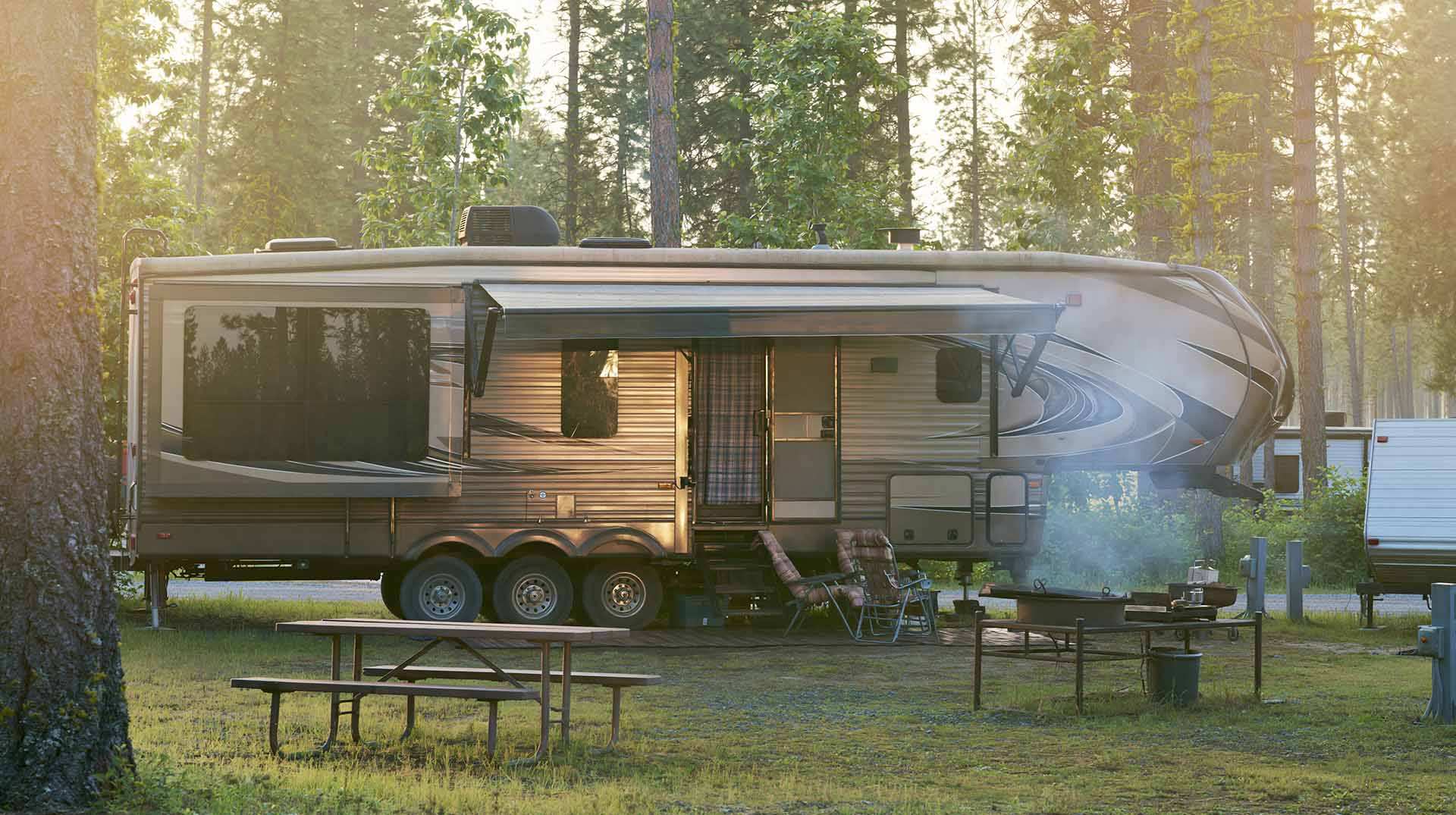
Calculateur d'autonomie selon la vitesse et le réservoir et la consommation
Estimate how far you can travel based on tank size and fuel consumption.
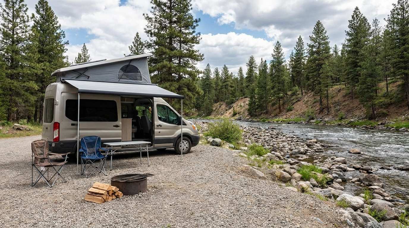
Discover free camping spots for recreational vehicles in Quebec, Canada, and the United States.
Discover the best free camping spots in Quebec, Canada, and the United States with our interactive map. Share and add your own boondocking locations!
Walking Time Calculator
Estimate hiking time based on distance, elevation gain, and your pace.
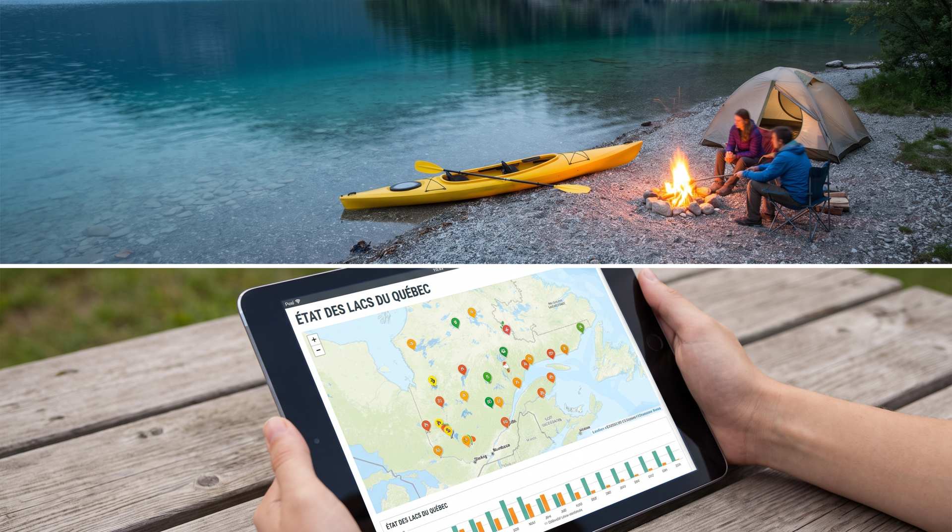
The state of Quebec's lakes: what the latest data says
Your swims and kayaking outings between two nights of camping deserve a healthy lake. Here’s what the latest data from the Government of Quebec reveals about the state of our lakes — and how to choose your next stop by the water.