

Home › États-Unis › Colorado › Copper Mountain › 🏷️ Gratuit
Belvédère Shrine Pass by the creek
✍️ Suggested by A-i
Location Map
Description
Site by a stream, located at an altitude of 3078 m. No AT&T service available. Respect nature and leave no trace.
🕐 Latest comments
Photo Gallery
🔒 Become a Contributor to see all photos and enjoy the site ad-free.
Become a Contributor
📍 Nearby Places
- Camping Blodgett 🏷️ Gratuit — Minturn, Colorado (11.7 km)
- Centre de loisirs d'Avon 🏷️ Douches — Avon, Colorado (22.9 km)
- Spot isolé et plat 🏷️ Gratuit — Breckenridge, Colorado (24.2 km)
- Route Boreas Pass 🏷️ Gratuit — Breckenridge, Colorado (25.0 km)
📖 Also Worth Reading
Tank capacity calculator for your RV
Learn how to assess the capacity of your water tanks for a successful RV trip.
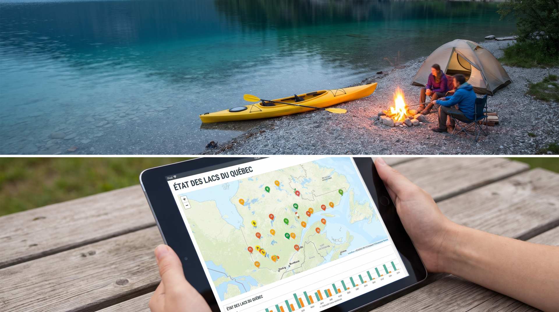
The state of Quebec's lakes: what the latest data says
Your swims and kayaking outings between two nights of camping deserve a healthy lake. Here’s what the latest data from the Government of Quebec reveals about the state of our lakes — and how to choose your next stop by the water.
Brake Distance Checker According to Weight
Calculate your vehicle's braking distance based on weight and speed.
Convert a distance between kilometers and miles
Convert a distance between kilometers and miles with one click.