

Home › États-Unis › Oregon › Lincoln City › 🏷️ Gratuit
Stop on a dead-end road
✍️ Suggested by Contributeur 123Go
Location Map
Description
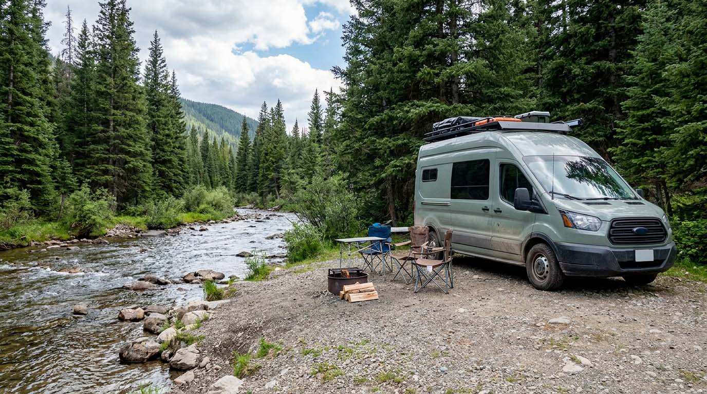
Stop for rooftop tent located at the end of a dead-end road. The trail ends 100 meters ahead. Verizon signal is weak. Respect the environment and leave no trace behind.
🕐 Latest comments
Photo Gallery
🔒 Become a Contributor to see all photos and enjoy the site ad-free.
Become a Contributor
📍 Nearby Places
- Boiler Bay State Park Wayside 🏷️ Aires De Repos — Lincoln, Oregon (15.2 km)
- Van Duzen Corridor State Park Wayside 🏷️ Aires De Repos — Lincoln, Oregon (15.8 km)
- Virage sur la boucle Otter Crest 🏷️ Gratuit — Depoe Bay, Oregon (20.8 km)
- Camping au bout de la route 🏷️ Gratuit — Hebo, Oregon, Oregon (34.0 km)
📖 Also Worth Reading
Tank capacity calculator for your RV
Learn how to assess the capacity of your water tanks for a successful RV trip.

Walking Time Calculator
Estimate hiking time based on distance, elevation gain, and your pace.
Electricity Consumption Calculator (Ah / Wh)
Calculate the electrical consumption of your devices in amp-hours and watt-hours.

BLM Land in the U.S.: Free Camping, Length of Stay, and LTVAs
What is BLM land, how long can you camp there for free, and how do LTVAs work to stay longer? The full guide before heading out to winter in the American Southwest.