

Home › États-Unis › Washington › Okanogan County › 🏷️ Gratuit
Daisy – official free camping / dispersed (national forest) -- Oroville, Washington
Location Map
Description
Free camping, developed or dispersed, on lands of the US Forest Service, Oroville area, Washington. Generally first come, first served, with no reservations or structured services. Check local regulations and the legality of overnight stays before heading out.
🕐 Latest comments
Photo Gallery
🔒 Become a Contributor to see all photos and enjoy the site ad-free.
Become a Contributor
📍 Nearby Places
- Tiffany Spring – camping officiel gratuit / dispersé (forêt nationale) 🏷️ Gratuit — Okanogan County, Washington (19.6 km)
- Salmon Meadows – camping officiel (forêt nationale) 🏷️ Camping établi — Okanogan County, Washington (23.6 km)
- Camp Four – camping officiel (forêt nationale) 🏷️ Camping établi — Okanogan County, Washington (25.0 km)
- Un magnifique endroit de baignade dans une rivière 🏷️ Attrait touristique — Area B (Cawston/Lower Similkameen), Colombie-Britannique (26.3 km)
📖 Also Worth Reading
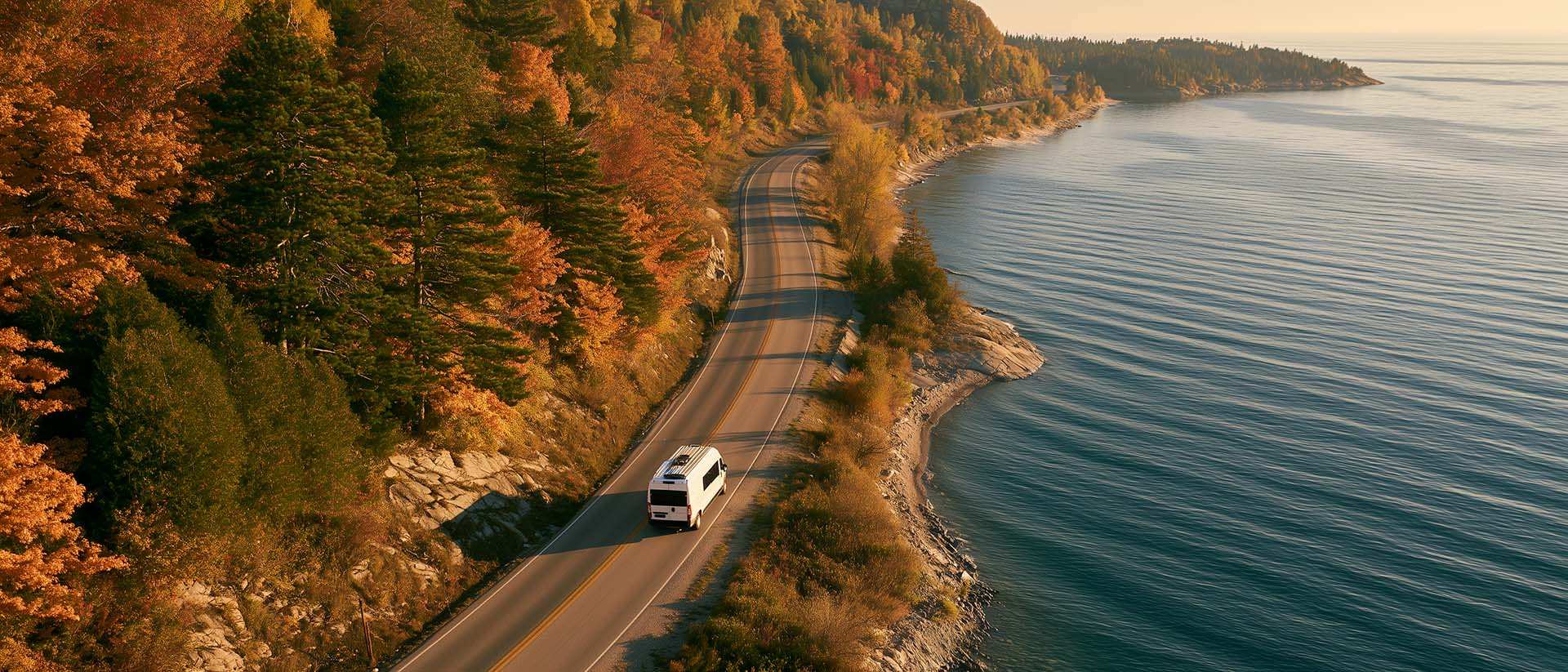
What to Do in Québec in October
October 2026 in Québec by RV: fall colours at their peak, Thanksgiving, off-season rates, and the last festivals before campgrounds close for the season.

Celsius / Fahrenheit Temperature Converter
Convert a temperature between Celsius and Fahrenheit with one click.

Unit converter (length, weight, volume)
Quickly convert length, weight, and volume between imperial and metric.

Recreational Vehicle Battery Life Calculator
Estimate the autonomy of your RV battery bank based on your consumption.