

Home › Canada › Colombie-Britannique › Area A (Nass Valley/Bell Irving) › 🏷️ Gratuit
Au bord de la rivière près du pont
✍️ Suggested by Contributeur 123Go
Location Map
Description
Emplacement au bord de la rivière, accessible par un pont. Suffisant pour un petit VR ou camion. Bruit de la rivière et présence d'ours.
🕐 Latest comments
Photo Gallery
🔒 Become a Contributor to see all photos and enjoy the site ad-free.
Become a Contributor
📍 Nearby Places
- La fosse de gravier dans la vallée 🏷️ Gratuit — Area A (Nass Valley/Bell Irving), Colombie-Britannique (6.3 km)
- Station de vidange – Petro-Canada (Area A (Nass Valley/Bell Irving)) 🏷️ Station de vidange sanitaire — Meziadin Junction, Colombie-Britannique (10.5 km)
- Piles de gravier 🏷️ Gratuit — Area A (Nass Valley/Bell Irving), Colombie-Britannique (10.5 km)
- Camping gratuit près de la cascade 🏷️ Camping établi — Area A (Nass Valley/Bell Irving), Colombie-Britannique (12.7 km)
📖 Also Worth Reading
Loading weight calculator (payload)
Calculate the available payload for your RV without exceeding its maximum weight.
Calculateur d'autonomie selon la vitesse et le réservoir et la consommation
Estimate how far you can travel based on tank size and fuel consumption.
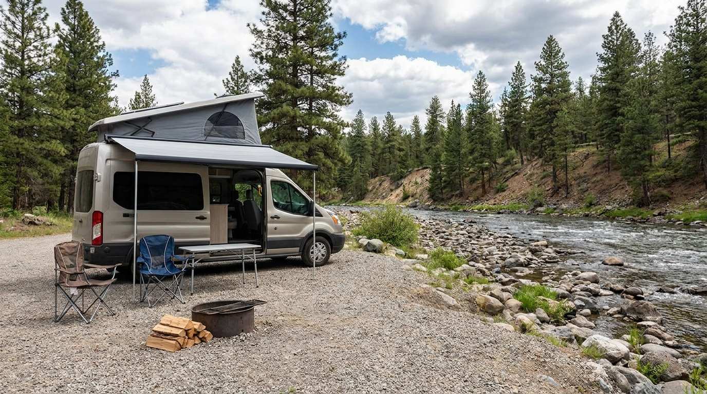
Discover free camping spots for recreational vehicles in Quebec, Canada, and the United States.
Discover the best free camping spots in Quebec, Canada, and the United States with our interactive map. Share and add your own boondocking locations!
Tank capacity calculator for your RV
Learn how to assess the capacity of your water tanks for a successful RV trip.