

Accueil › Canada › Colombie-Britannique › Area D (Kiskatinaw Valley) › 🏷️ Gratuit
Le point d'arrêt routier 'Heritage Highway'
✍️ Proposé par Contributeur 123Go
Carte de l'emplacement
Description
Point d'arrêt en pavé situé en bordure de route, entouré d'une zone boisée. L'endroit est relativement calme, malgré la circulation locale. Veuillez respecter les lieux et ramasser vos déchets.
🕐 Derniers commentaires
Galerie Photos
🔒 Devenez Contributeur pour voir toutes les photos et profiter du site sans publicité.
Devenir Contributeur
📍 Lieux à proximité
- La carrière rocheuse 🏷️ Gratuit — Area E (Moberly Lake/Sukunka Valley), Colombie-Britannique (3.8 km)
- Le grand espace plat dans la nature 🏷️ Gratuit — Area D (Kiskatinaw Valley), Colombie-Britannique (5.7 km)
- Moose Lake Recreation Site 🏷️ Camping sauvage — Tumbler Ridge, Colombie-Britannique (34.0 km)
- Le parc éolien de Bear Mountain 🏷️ Gratuit — South Dawson, Colombie-Britannique (36.6 km)
📖 À lire aussi

Convertisseur de devises US à CAD : Un outil incontournable
Découvrez comment utiliser un convertisseur de devises US à CAD pour faciliter vos transactions et vos voyages.
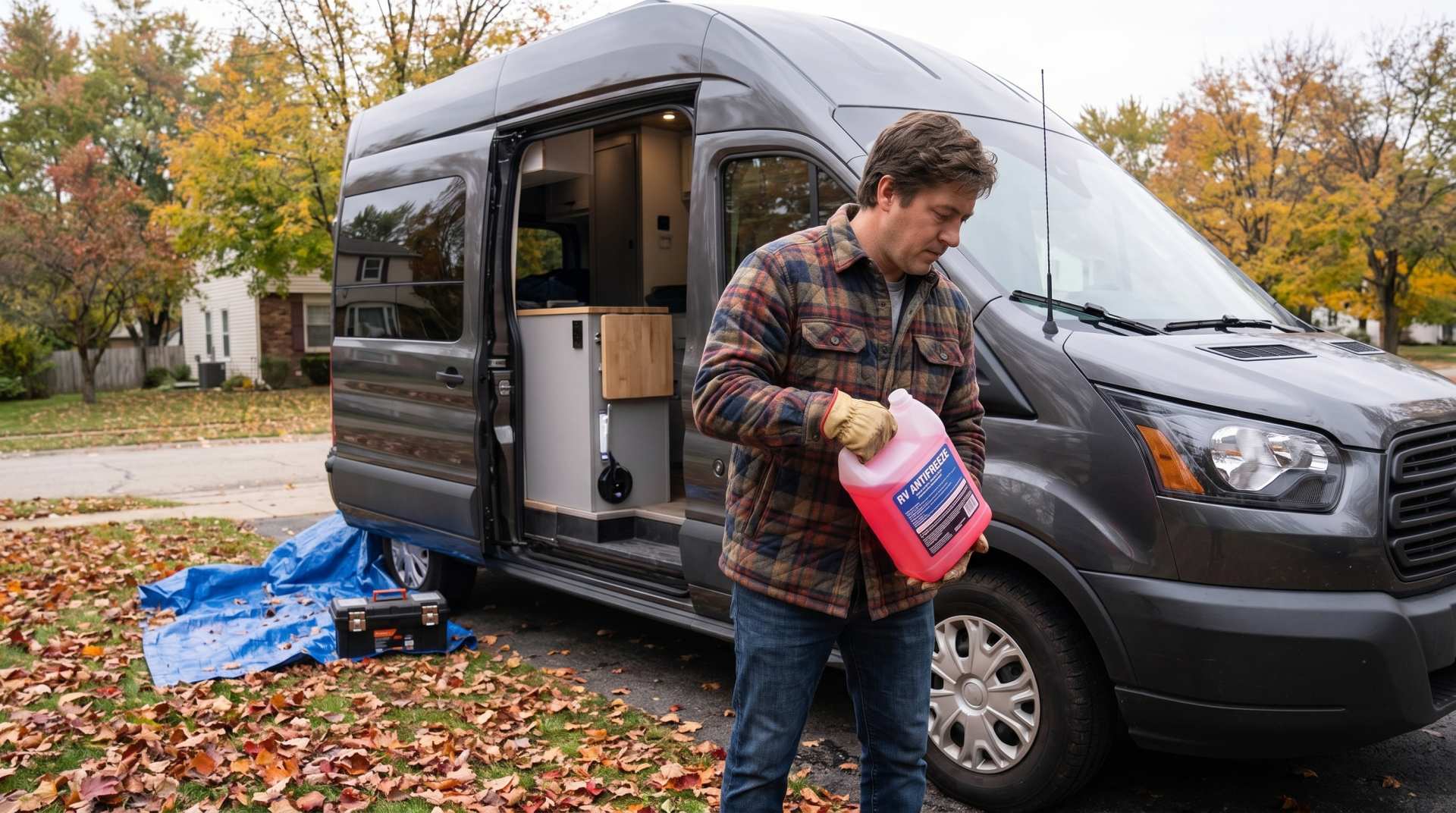
Comment préparer son van aménagé pour l'hiver
hiverner un VR n'est ni compliqué ni long. Comptez deux à trois heures la première fois, une heure et demie les suivantes. Ce qui coûte cher, ce n'est pas la job — c'est l'étape sautée.

Calculateur d'autonomie selon la vitesse et le réservoir et la consommation
Estimez la distance parcourable selon la taille de votre réservoir et votre consommation.
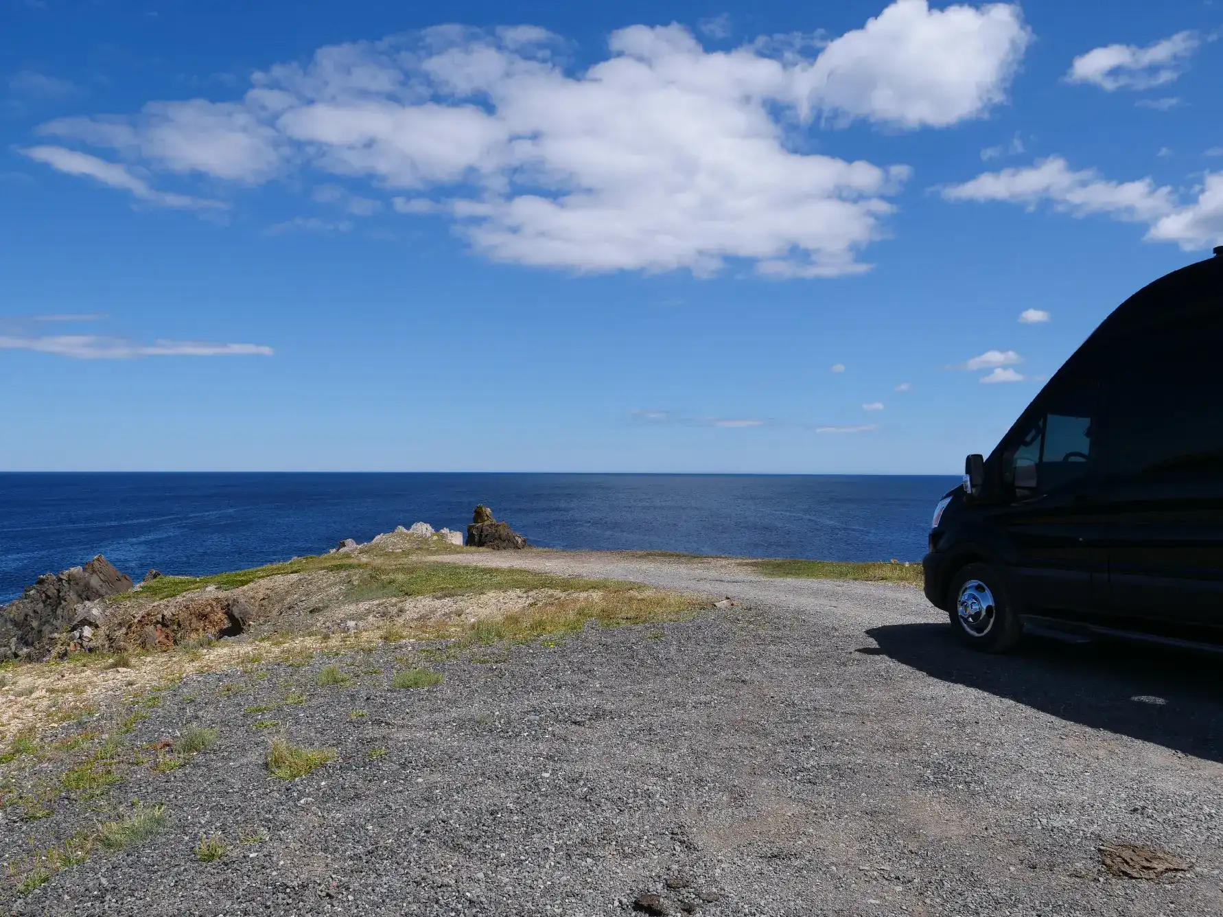
Boondocking : Profitez de la Liberté, Respectez les Règles
Vous avez vu le mot un peu partout — sur les réseaux sociaux, dans les groupes Facebook de VR, sur notre propre carte — mais vous n'êtes pas tout à fait certain de savoir ce qu'il signifie le boondocking ?