

Home › Canada › Colombie-Britannique › Area C (Pemberton Valley/Mount Currie/D'Arcy) › 🏷️ Gratuit
Vue sur la rivière ombragée de cèdres
✍️ Suggested by Contributeur 123Go
Location Map
Description
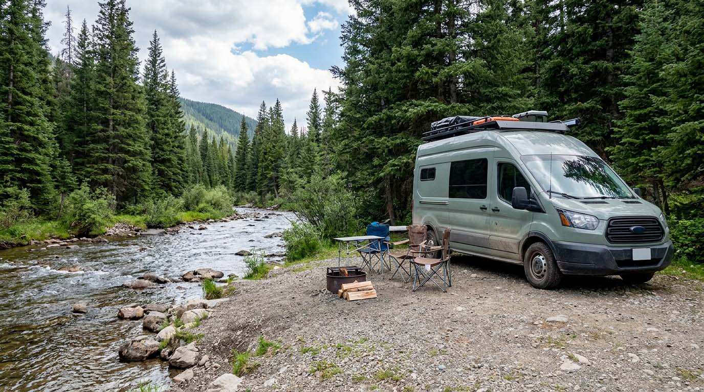
Emplacement pour stationner un véhicule au bord de la rivière Lilloet, à l'ombre de cèdres et de peupliers. L'endroit est paisible. Respectez la nature et les lieux, ne laissez rien derrière vous.
🕐 Latest comments
Photo Gallery
🔒 Become a Contributor to see all photos and enjoy the site ad-free.
Become a Contributor
📍 Nearby Places
- La route de la rivière Lillooet, Pemberton Meadows 🏷️ Gratuit — Area C (Pemberton Valley/Mount Currie/D'Arcy), Colombie-Britannique (17.4 km)
- En bord de rivière 🏷️ Gratuit — A, Colombie-Britannique (22.0 km)
- Le pont Goldbridge 🏷️ Gratuit — Squamish-Lillooet A, Colombie-Britannique (41.2 km)
- Stationnement à la grange communautaire de Pemberton. 🏷️ Stationnement à court terme — Pemberton, Colombie-Britannique (41.4 km)
📖 Also Worth Reading
Electricity Consumption Calculator (Ah / Wh)
Calculate the electrical consumption of your devices in amp-hours and watt-hours.
Boondocking: Enjoy the Freedom, Respect the Rules
The basics of ethical, responsible camping -- how to travel while leaving no trace.

Recreational Vehicle Battery Life Calculator
Estimate the autonomy of your RV battery bank based on your consumption.
Loading weight calculator (payload)
Calculate the available payload for your RV without exceeding its maximum weight.