

Home › Canada › New Brunswick › Musquash › 🏷️ Gratuit
L'estuaire Musquash
✍️ Suggested by Contributeur 123Go
Location Map
Description
Route pavée menant à une table de pique-nique couverte. Ancien pont qui passait au-dessus de la rivière Musquash. Recommandé de faire demi-tour en haut de la route et de reculer pour se garer. Attention à un petit affaissement d'un côté de la route.
🕐 Latest comments
Photo Gallery
🔒 Become a Contributor to see all photos and enjoy the site ad-free.
Become a Contributor
📍 Nearby Places
- New River Beach Campground 🏷️ Station de vidange sanitaire — New River Beach, New Brunswick (15.6 km)
- Camping Parc provincial de la plage New River – Baie de Fundy, Nouveau-Brunswick 🏷️ Camping établi — New River Beach, New Brunswick (15.7 km)
- Centre d'accueil touristique – Saint John (route 1) 🏷️ Aires De Repos — Saint John West, New Brunswick (17.9 km)
- Ocean View Camping 🏷️ Camping établi — Pocologan, New Brunswick (19.1 km)
📖 Also Worth Reading

The state of Quebec's lakes: what the latest data says
Your swims and kayaking outings between two nights of camping deserve a healthy lake. Here’s what the latest data from the Government of Quebec reveals about the state of our lakes — and how to choose your next stop by the water.
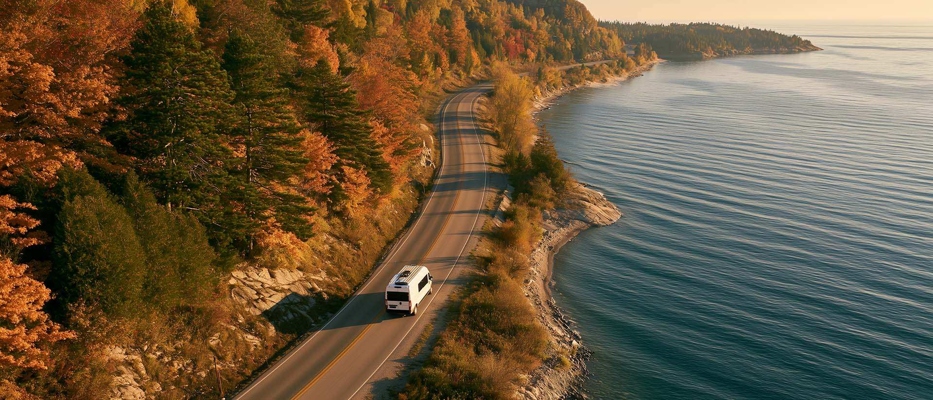
What to Do in Québec in October
October 2026 in Québec by RV: fall colours at their peak, Thanksgiving, off-season rates, and the last festivals before campgrounds close for the season.

Unit converter (length, weight, volume)
Quickly convert length, weight, and volume between imperial and metric.
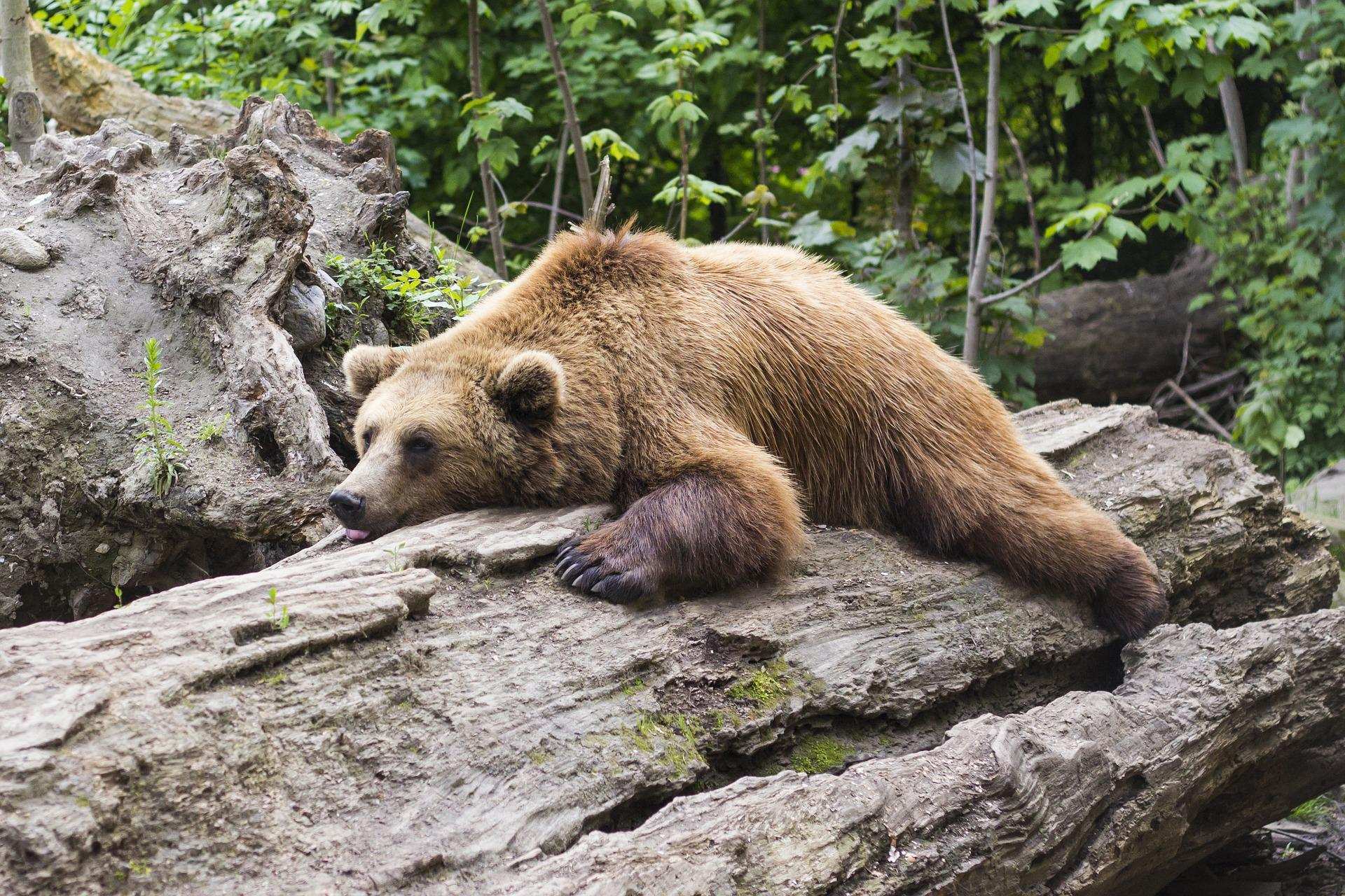
Learn how to properly use bear repellents.
How to choose and use bear spray correctly when camping in the backcountry.