

Home › Canada › Saskatchewan › Estevan › 🏷️ Gratuit
On-street
✍️ Suggested by Contributeur 123Go
Location Map
Description
La rue perpendiculaire offre des emplacements avec vue, pour vans ou voitures. Pas adapté aux grands véhicules. Apparemment, près d'une maison de retraite.
🕐 Latest comments
Photo Gallery
🔒 Become a Contributor to see all photos and enjoy the site ad-free.
Become a Contributor
📍 Nearby Places
- Parc provincial Roche Percée 🏷️ Camping établi — Coalfields No. 4, Saskatchewan (19.3 km)
- Station de vidange sanitaire – Souris Valley No. 7 🏷️ Station de vidange sanitaire — Oungre, Saskatchewan (58.7 km)
- Oxbow 🏷️ Buanderie — Oxbow, Saskatchewan (61.1 km)
- Le départ du sentier Signal Hill - Camping Rivière Park 🏷️ Camping établi — Weyburn, Saskatchewan (84.2 km)
📖 Also Worth Reading

BLM Land in the U.S.: Free Camping, Length of Stay, and LTVAs
What is BLM land, how long can you camp there for free, and how do LTVAs work to stay longer? The full guide before heading out to winter in the American Southwest.
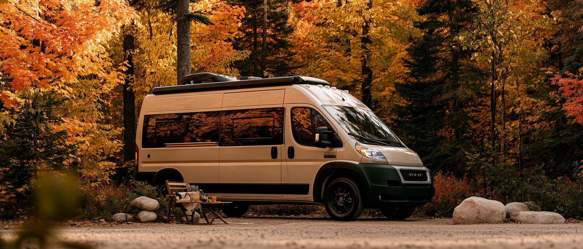
What Is Boondocking?
You've seen the word everywhere — on social media, in RV Facebook groups, on our own map — but you're not quite sure what it actually means?

Tank capacity calculator for your RV
Learn how to assess the capacity of your water tanks for a successful RV trip.

US to CAD Currency Converter: An Essential Tool
Discover how to use a US to CAD currency converter to facilitate your transactions and travels.